Let us help you streamline your workflow.
Increase Your Profit margins
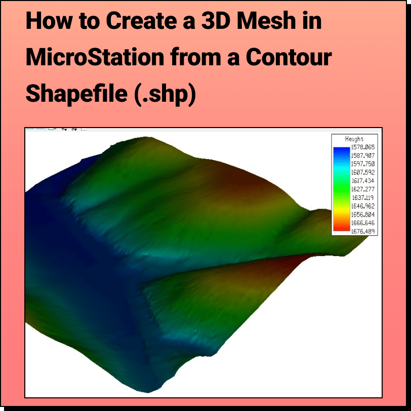
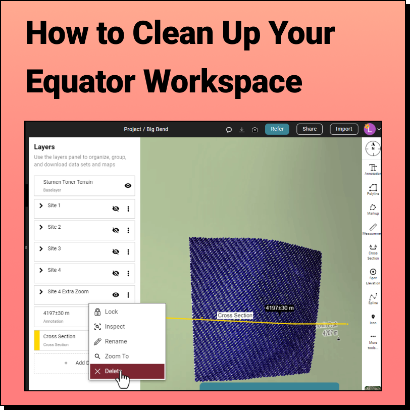
Reduce your survey size. Evaluate the site for potential issues from your desk before even stepping foot on site. Prevent project delays caused by difficult terrain or private property issues. Save valuable billable hours that would have been spent searching for and converting elevation data, or learning complicated software (Equator is user-friendly!).


Join to Equator Community of over 20,000+ Users
Frequently Asked Questions
Bentley OpenSite Designer is a BIM software that allows for conceptual, preliminary, and detail design used for site design, engineering, and land development. (source: www.bentley.com/software/opensite-designer)
Equator is mapping and design software with thousands of built-in data sets. Equator is used by civil engineers, architects, and construction professionals around the world to find, build, and share maps and designs instantly.
Equator indexes data from open data portals around the world. Many data sets are pulled in automatically through APIs and others are added by our team of GIS experts and geospatial developers.
Equator goes above and beyond other data platforms, by layering on automated GIS services. Instead of hiring specialists to collect or process data, Equator allows you to independently create deliverables that meet your project needs in minutes.
LiDAR is Light Detection and Ranging technology. This technology uses a pulsed laser to measure distances from the laser to a surface. LiDAR is often used for remote sensing applications, for example, measuring the distance to the Earth’s surface for elevation mapping. Learn more here.