User Guide / Elevation Products
Elevation Products
High-Resolution Elevation Products
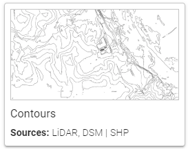
Contours are created from high-resolution public lidar data. When you add the layer to your site, Equator auto-generates contours based on the specific resolution and interval required for your project.
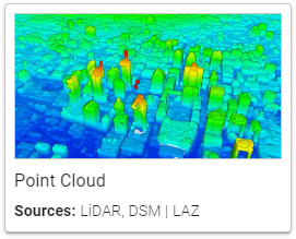
Recommended for viewing LIDAR data in-app. Point clouds are created from high-resolution public lidar data. When you add the layer to your site, Equator auto-generates the layer based on the specific resolution and interval required for your project.
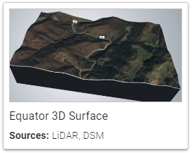
Recommended for viewing high-precision surface models in-app. Quantized meshes are created from high-resolution public lidar data. When you add the layer to your site, Equator auto-generates the layer based on the specific resolution and interval required for your project.
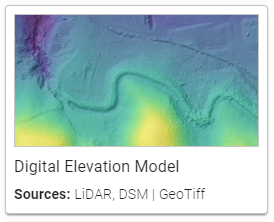
Recommended for building smooth terrain models. DEMs are created from high-resolution public lidar data. When you add the layer to your site, Equator auto-generates the layer based on the specific resolution and interval required for your project.
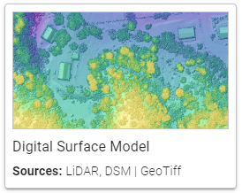
Recommended for building smooth terrain models. DSMs are created from high-resolution public lidar data. When you add the layer to your site, Equator auto-generates the layer based on the specific resolution and interval required for your project.
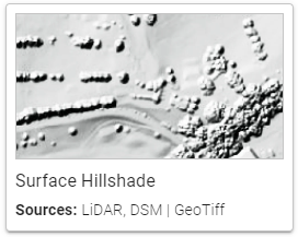
Best for creating visually appealing elevation maps in GIS. Hillshades are created from high-resolution public lidar data. When you add the layer to your site, Equator auto-generates the layer based on the specific resolution and interval required for your project.
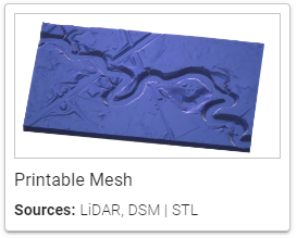
STLs are created from high-resolution public lidar data. When you add the layer to your site, Equator auto-generates the layer based on the specific resolution and interval required for your project.
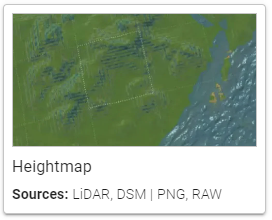
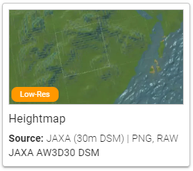
Heightmaps are for Unity and Unreal Engine and they allow the use of real-world terrain in these game engines.
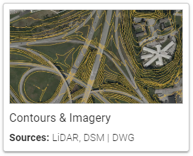
Contours & Imagery exports combine contours with map imagery. Since both exports go hand-in-hand, if both are needed you can get them both from one export.
Low-Resolution Elevation Products
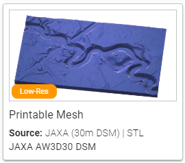
Low-resolution (30 m) elevation data from the Japan Aerospace Exploration Agency (JAXA). When you add the layer to your site, Equator auto-generates the selected product based on the specific resolution and interval required for your project.
