Take your Topo from Good to Great


Featured Users

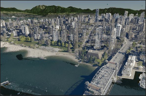
Find your next survey points here. Billions, and billions of them.
Access lidar surveys from all over the world. Upload your own data from laz, shapefile, or other popular formats. Check out our extensive library of Digital Elevation Models (DEMs).
No more waiting for survey data
Start your design or analysis right from the kick-off. Equator provides direct access to centimeters of accuracy at home or in the office. Create sketches and markups in Equator, and export topographic data for use in other CAD/GIS platforms.
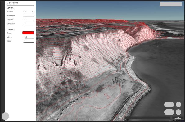

Visualize your site from a new perspective.
Cut cross sections from the topography in real-time. Simply toggle between data layers. Check out your site from hundreds of vantage points.
Create competitive pricing proposals
Use Equator to cut the cost of ground-based topographic surveys. Identify risks, opportunities and workplans based on the best available data to show your client you have done your homework!
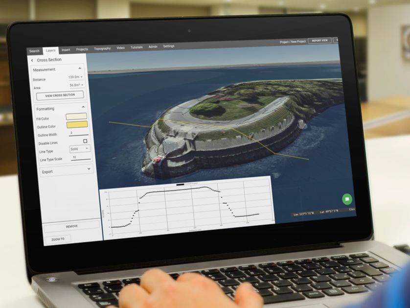
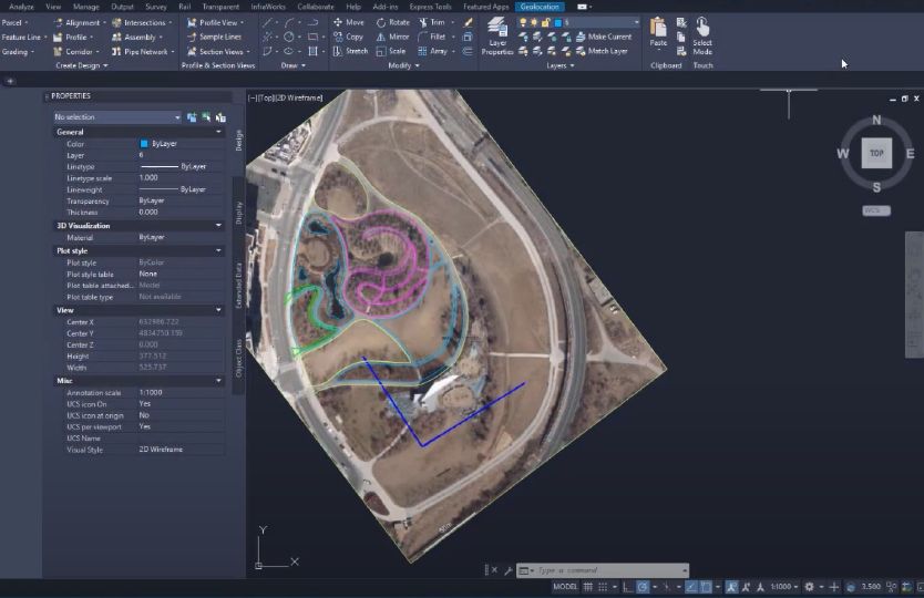
Generate base plans in a few clicks
Extract contours in the resolution of your choice. Layer on imagery, markups and other notes. Share you base plans with team members in Equator online instantly, or export to other CAD/GIS software.
Highest Resolution Digital Elevation Models Available Online
Extract digital elevation models at the highest resolution available, using public lidar data.

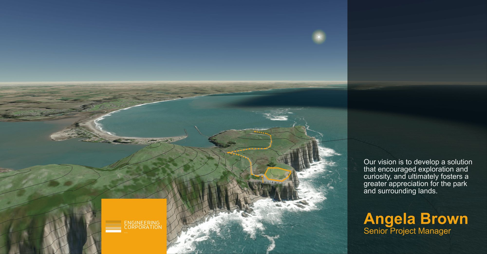
Rapid Figure Generation
Create figures on the fly. Choose from ready-to-use templates for your next project, or create your own.
Drag and drop to add your own data
Want to layer more data onto the topographic map surface, no problem! Simply drag and drop your files into Equator.
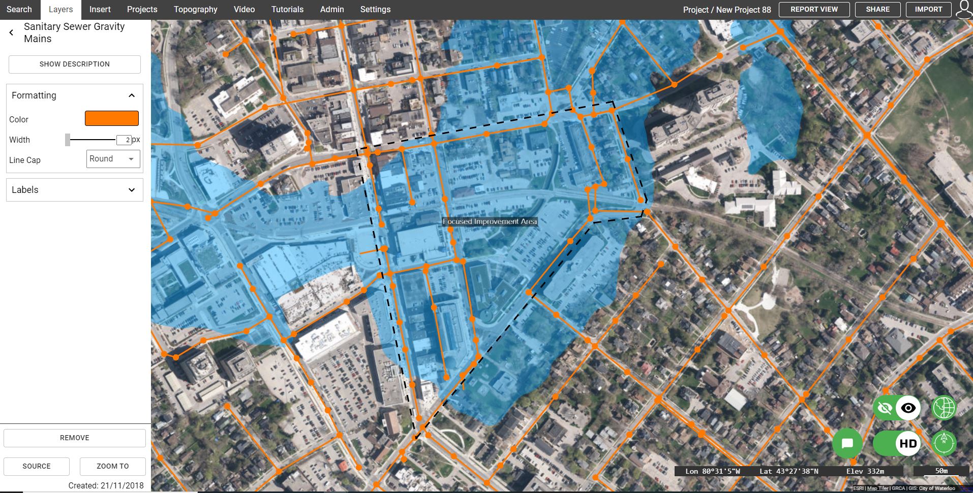
“We previously would request LIDAR/contour information from one person who was experienced in downloading the files. With Equator, it is accessible to everyone.”
We Fit in Perfectly
Equator was created by Engineers, so we know you how you work, who you work with and the tools you use. We’ve made it easy to integrate into your current workflow and get up-and-running in minutes.