Join other leading designers on Equator

No need to leave your computer to get the survey data you need for your project…
Trillion of Survey Points
You don’t need to go out in the field or hire a surveyor to get the best available data. Equator’s virtual survey tool has trillions of survey points available to ensure that you get high-quality, accurate data for your project.
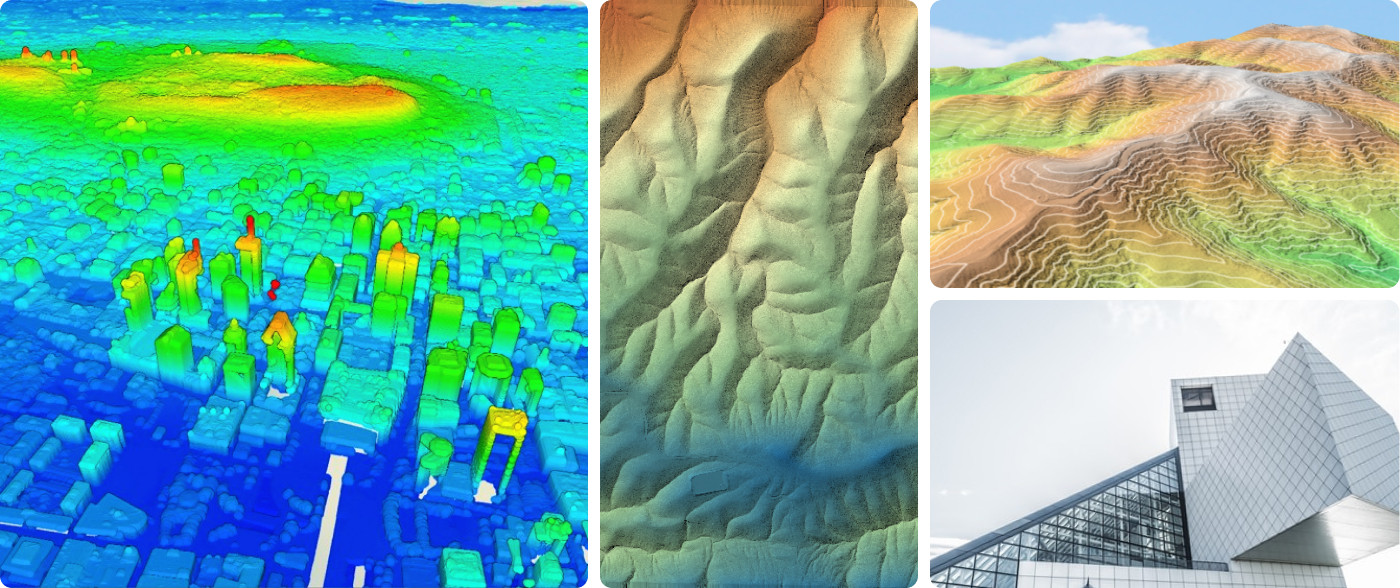
Build LiDAR point clouds, contours, DEMs and more out of trillions of points with Equator.
The New Data Solution
Use Equator’s Virtual Surveyor to find the exact data you’re looking for instantly.
Need your data in a different format? We’ve got you covered. Visualize your data however you need to just by selecting it from the Data Menu.


Save Time and Money—Produce Better Results
As technology marches forwards there are often breakthroughs that allow us to do the same job faster and cheaper while producing higher quality results. That time has come for mapping.
Get your projects finished faster, draw more insights from your analysis and produce beautiful visuals. Equator is the all-in-one mapping solution (AMS) engineers need to outperform the competition.