Step 1
Search for you location
Step 2
Identify your project limits
Step 3
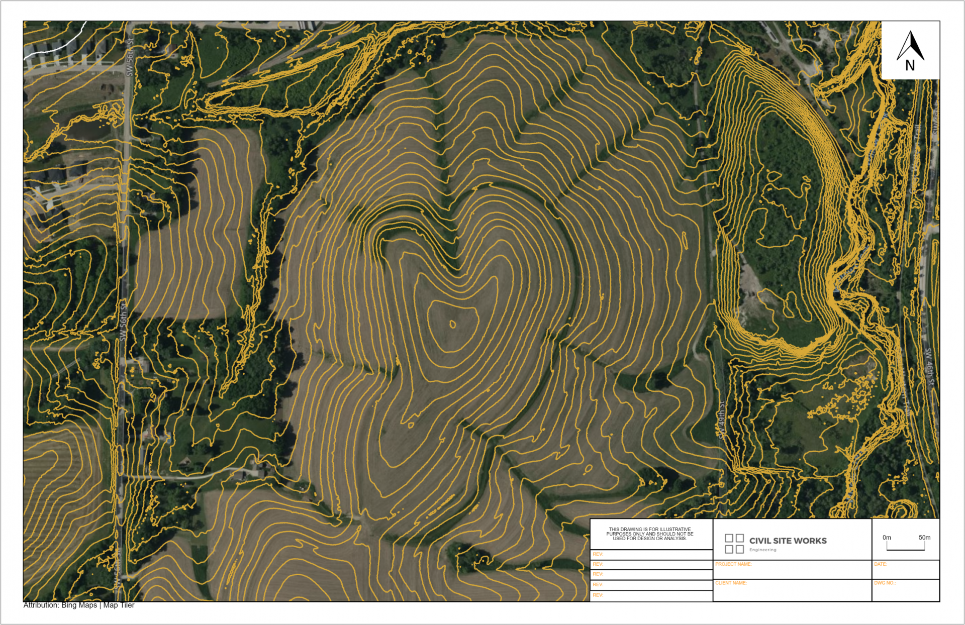
Download your topographic base plan

Where does the data come from?
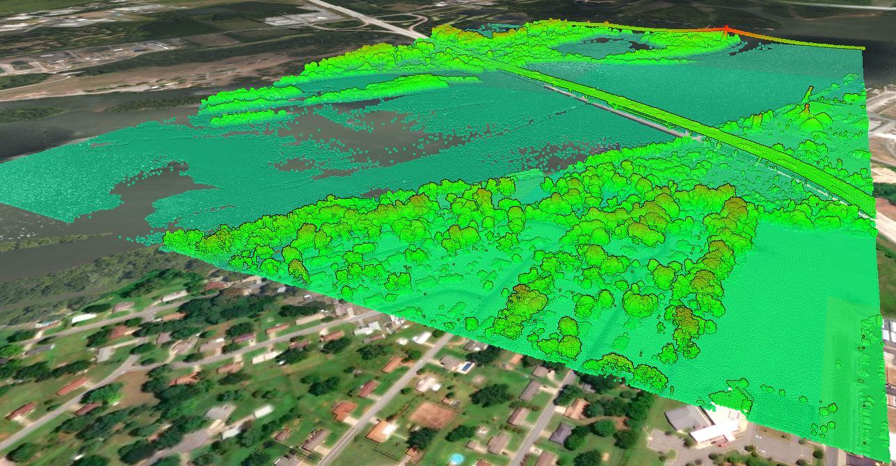
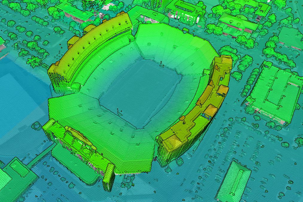
All of the data in Equator comes from public, open data sources. Topographic base plans are created from airborne lidar surveys that are carried out by government organizations. When you generate a base plan in Equator, you will be provided with a data quality and accuracy report, along with your deliverable. This report includes all of the source information and links to learn more.


How do professionals use Equator?
Infrastructure designers use Equator in a variety of ways:
- To impress clients and stand out in proposal submissions
- To better scope technical cost proposals
- As part of the due-diligence process
- To support concept development and design
Deliverables generated using Equator are often created prior to hiring an Austin Land Surveyor, to gain a preliminary understanding of a site.

I need an Austin Land Surveyor, can you help?
Certainly! Here is a list of local Austin Land Surveyors.
| Name | Location | Phone Number | Address |
|---|---|---|---|
| McGray & McGray Land Surveyors Inc. | Austin | 512-451-8591 | 3301 Hancock Dr #6, Austin, TX |
| Survey Works | Austin | 512-599-8067 | 1207 Upland Dr, Austin, TX |
| Chaparral Surveying | Austin | 512-443-1724 | 3500 McCall Ln, Austin, TX |
| 4Ward Land Surveying | Austin | 512-537-2384 | 2201 Woodward St, Austin, TX |