User Guide / Using Spot Elevation Tool
Using the Spot Elevation Tool in Equator
Select the Spot Elevation Tool
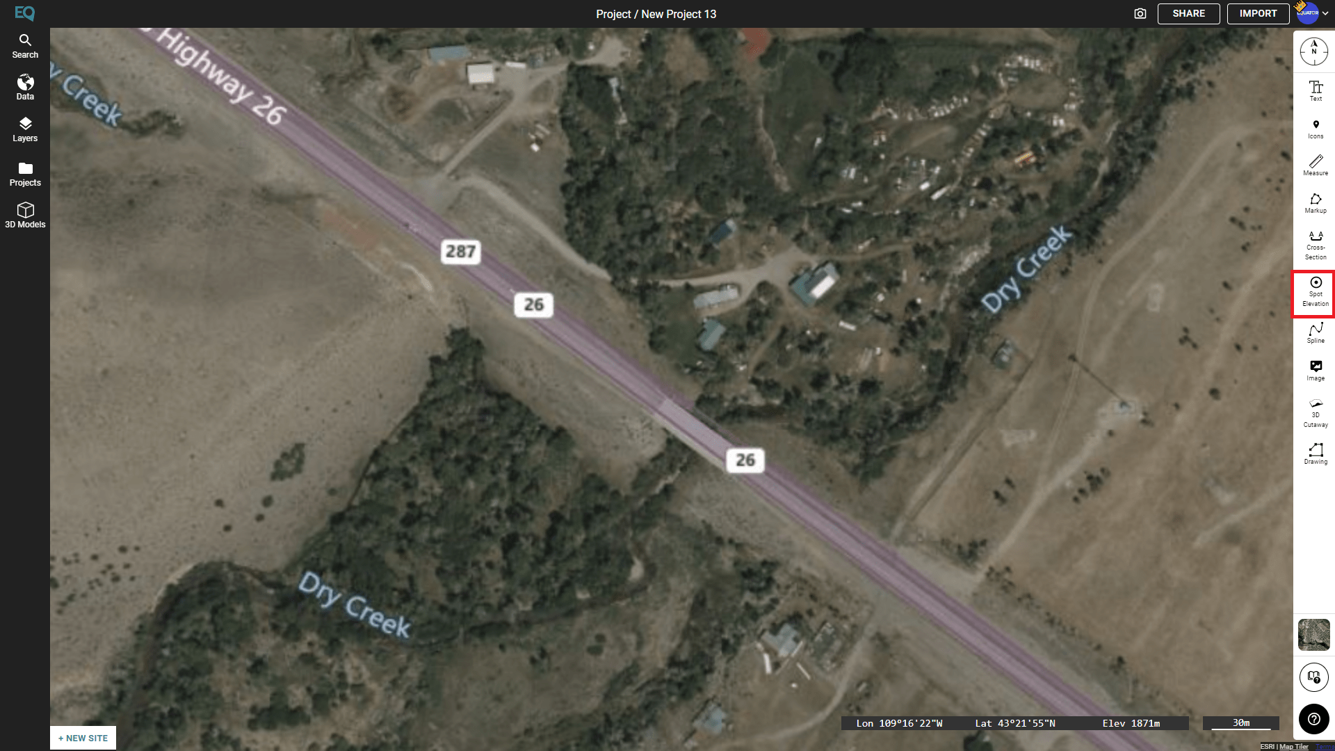
To begin, select the spot elevation tool from the insert menu on the right hand side (shown below in red).

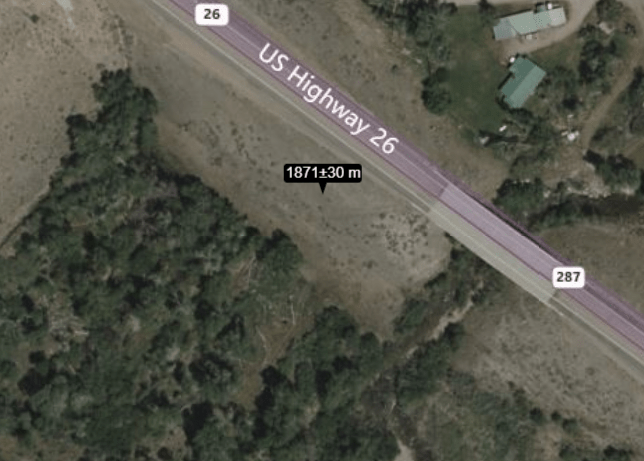
Then, click on the location on the map where you would like to check the elevation. A text annotation will appear showing you the elevation, including the room for error in the calculation.
