Skip to content
  • Solutions
    • LiDAR and Contours
    • Parcel Data
    • AI Proposal Writer (coming soon)
  • Industries
    • Civil Engineering
    • Surveying
    • Landscape Design
    • Real Estate
    • Archaeology
    • 3D Design
  • Pricing
  • Resources
  • Login
AI Proposals
LiDAR Data
  • Resilient Consulting bank restoration construction
    Resilient Consulting Water Resources Case Study

Resilient Consulting Water Resources Case Study

Rebecca Swabey2025-05-12T19:40:23-04:00

How Resilient Consulting uses Equator to source topographic data for water resources

Resilient Consulting Water Resources Case StudyRebecca Swabey2025-05-12T19:40:23-04:00
  • Satellite Imagery

Satellite Imagery

Equator Students2025-05-12T12:43:29-04:00

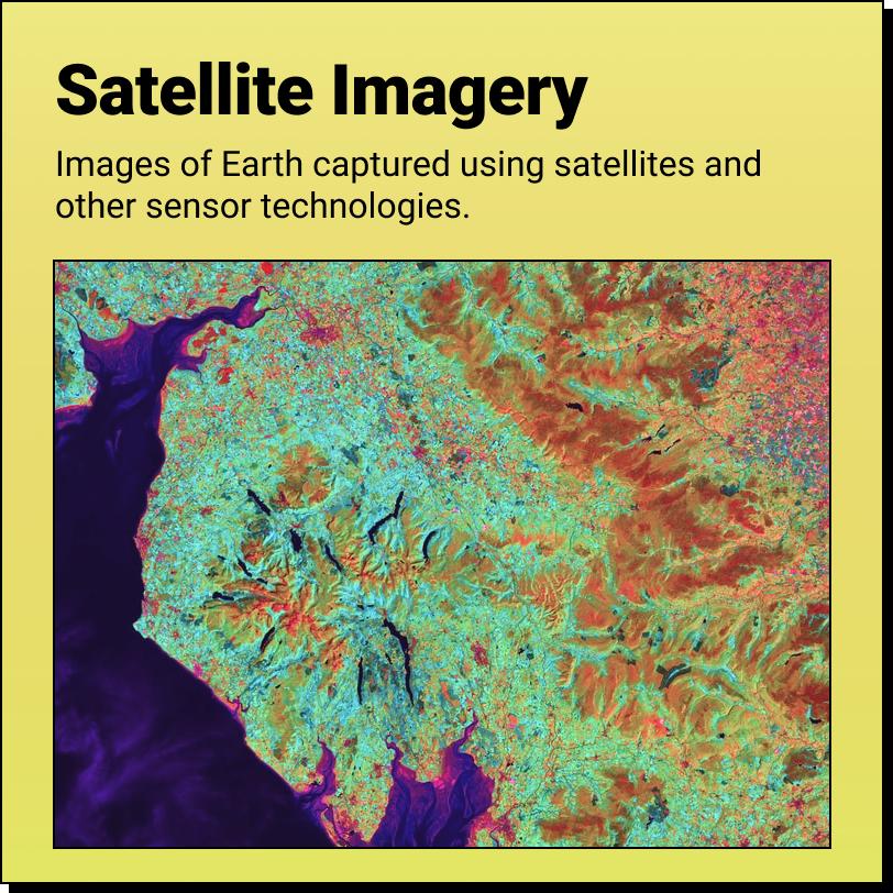
Satellite Imagery A Product of The 'Data Revolution' Satellite Imagery are images of

Satellite ImageryEquator Students2025-05-12T12:43:29-04:00
LOCATION SPOTLIGHT
  • USGS
  • Texas
  • Florida
  • Minneapolis
  • Montreal
  • Toronto
SOFTWARE INTEGRATIONS
  • ArcGIS
  • Blender
  • Civil 3D
  • HEC RAS
  • InfraWorks
  • MicroStation
  • QGIS
  • Revit
  • Rhino 3D
  • SketchUp
MAP MAKING
  • 3D Map Maker
  • Watershed Map Generator
  • Point Cloud Viewer
  • Drainage Map Maker
  • Contour Map Creator
  • Contour Map Online
  • Online Map Maker
  • Best Map Data Online
  • LiDAR Viewer
  • Shapefile Viewer
LEARN
  • User Guide
  • LiDAR Coverage Map
  • Supported File Formats
  • What is Equator?
  • Free Civil Engineering Proposal Checklist
  • Free Civil Engineering Proposal Template
  • Top 5 Roadblocks to Creating Winning Proposals
COMPANY
  • Our Story
  • Contact
  • Careers
contact@equatorstudios.com

© 2023 – All rights reserved. • Equator

Page load link