Join other leading infrastructure designers on Equator

Without parcel data…

Using Equator’s centralized parcel data…
How it Works
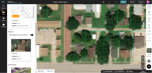
Step 1: View Coverage
Go to the Data tab and turn on the Parcels coverage map layer to see if data is available for your site.
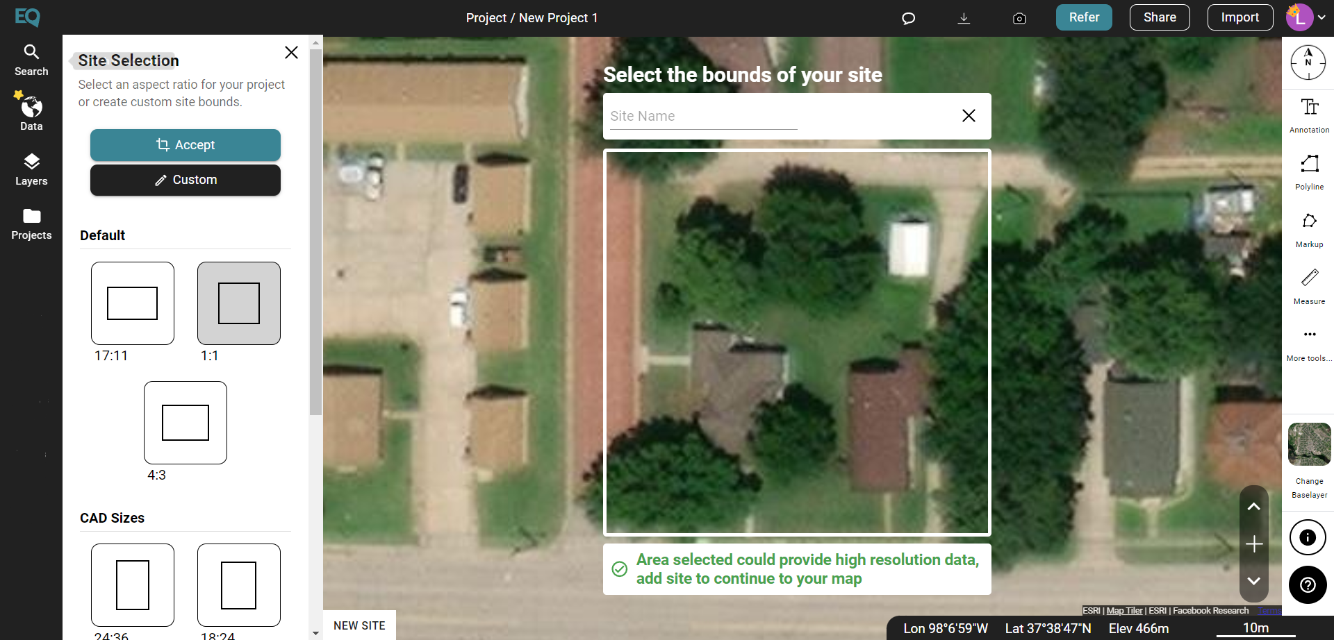
Step 2: Create a New Site
Search for a location and create your site using either a pre-made boundary or a custom boundary.
Step 3:
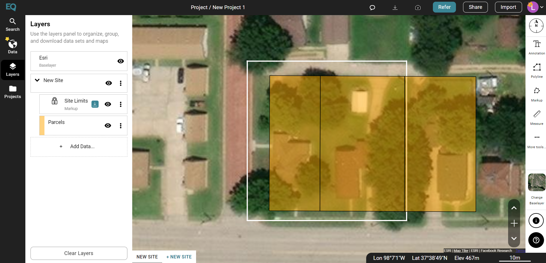
Generate Parcels
Generate Parcels
Using Equator’s design tools, create unique, detailed maps with parcel data.