Get Topography for Rhino with Equator

Create a 3D terrain in Rhino 3D Software using high resolution elevation data from Equator.

Equator (EQ) Mapping Community DIscord Logo

+

Rhino 3D
Company logos
How To

Import Topography into Rhino in 4 Easy Steps

Get topographic data for Rhino:

  • Login or Signup for Equator

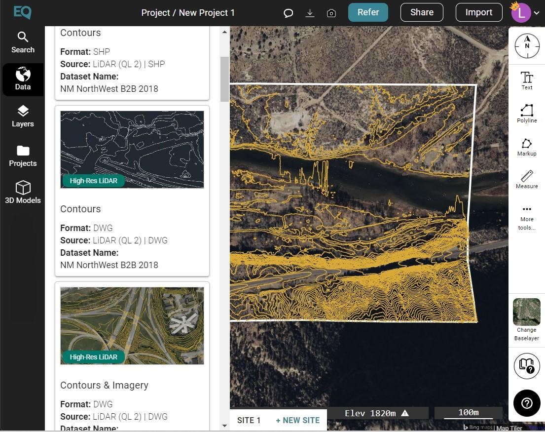
  • Create New Site

  • Add and Download Data as your preferred file type

  • Import Contours into Rhino

Features & Benefits

Let us help you streamline your workflow.

start designing immediately

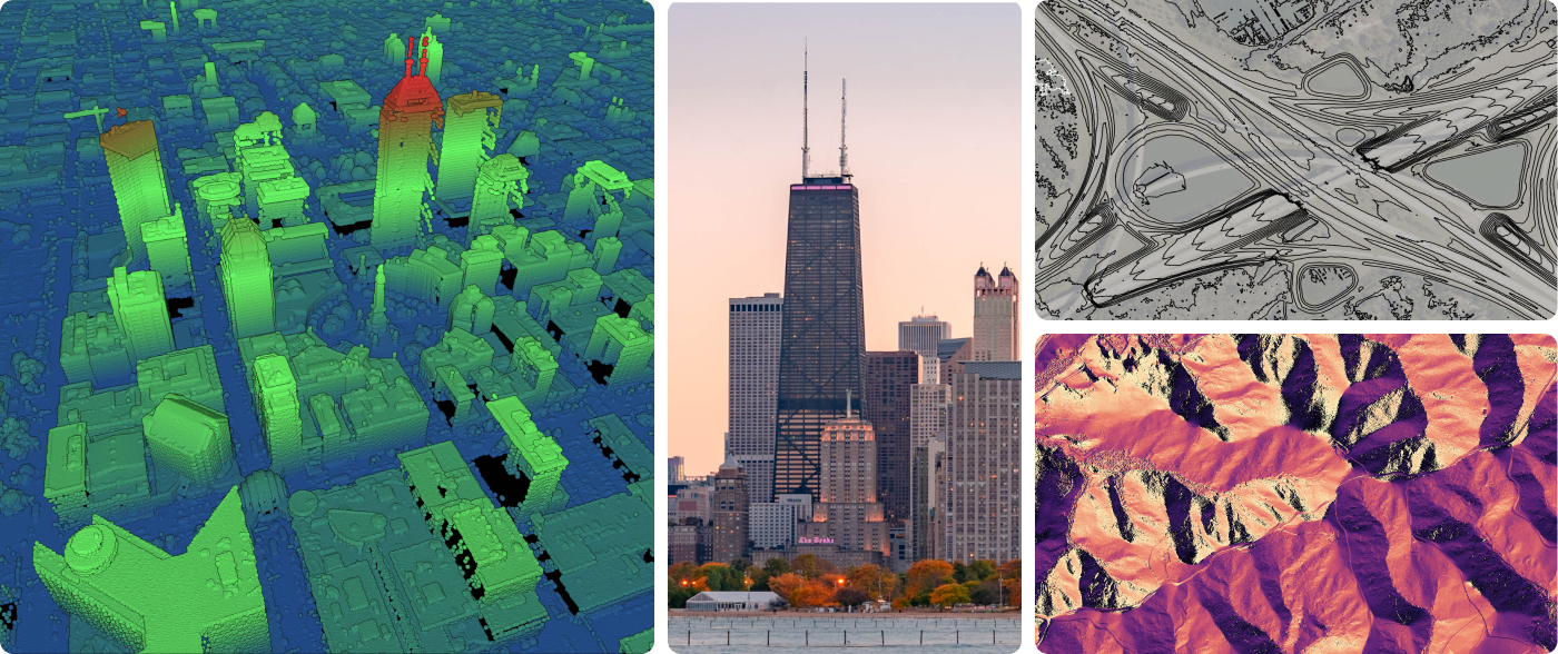
Start your design or analysis right from the kick-off. Equator provides instant access to the highest-resolution lidar and elevation data available, without leaving the office. Download point clouds, contours, or DEMs as LAZ, DWG, SHP, STL, GeoTIFF, and Heightmap (PNG).

Increase Your Profit margins

Reduce your survey size. Evaluate the site for potential issues from your desk before even stepping foot on site. Prevent project delays caused by difficult terrain or private property issues. Save valuable billable hours that would have been spent searching for and converting elevation data, or learning complicated software (Equator is user-friendly!).
Become more competitive on bids & proposals

Score higher on proposals and create competitive cost estimates with better data access, without losing billable time. Use our built in report maker to save time formatting and creating great graphics.

Who We Are

Get to Know Equator

Equator is online map-making software for civil engineers, architects, and designers. Our web-based platform includes thousands of built-in data sets, like LiDAR and DEMs and easy-to-use design and map making tools. Create accurate, professional maps in minutes!

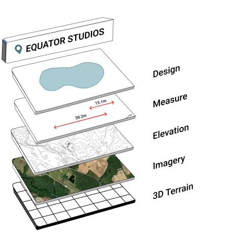
Equator Layers
Create contours in Equator

We want to hear from you!

Have questions? Did something not work out? Can’t figure out what went wrong? We are here for you! Chat with our customer success team Monday-Friday, 9am-5pm EST or send us an email and we will get back to you asap.

Customer Reviews

Join to Equator Community of over 20,000+ Users

“With Equator, LiDAR is available to everyone.”

Project Manager in Toronto, Canada


Abel Castro Carranza

“It was really difficult to find precise topography before Equator.”

Civil Engineer in Mexico City, Mexico

“Equator provides a simple, point-and-click way to extract data. It’s easy to use, and it works perfectly with my workflow.”

Entrepreneur in Germany

Create your terrain with Equator.

download high quality topographic data for your project site today.
Our Story Header

Frequently Asked Questions

Rhinoceros 3D Software can “create, edit, analyze, document, render, animate, and translate NURBS curves, surfaces and solids, subdivision geometry (SubD), point clouds, and polygon meshes. There are no limits on complexity, degree, or size beyond those of your hardware.” (https://www.rhino3d.com/features/)

Equator is mapping and design software with thousands of built-in data sets.  Equator is used by civil engineers, architects, and construction professionals around the world to find, build, and share maps and designs instantly.

Equator indexes data from open data portals around the world.  Many data sets are pulled in automatically through APIs and others are added by our team of GIS experts and geospatial developers.

Equator goes above and beyond other data platforms, by layering on automated GIS services.  Instead of hiring specialists to collect or process data, Equator allows you to independently create deliverables that meet your project needs in minutes.

LiDAR is Light Detection and Ranging technology.  This technology uses a pulsed laser to measure distances from the laser to a surface.  LiDAR is often used for remote sensing applications, for example, measuring the distance to the Earth’s surface for elevation mapping.  Learn more here.