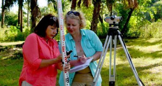
Join other archaeologists on Equator

The New Frontier: High-Resolution LiDAR Mapping
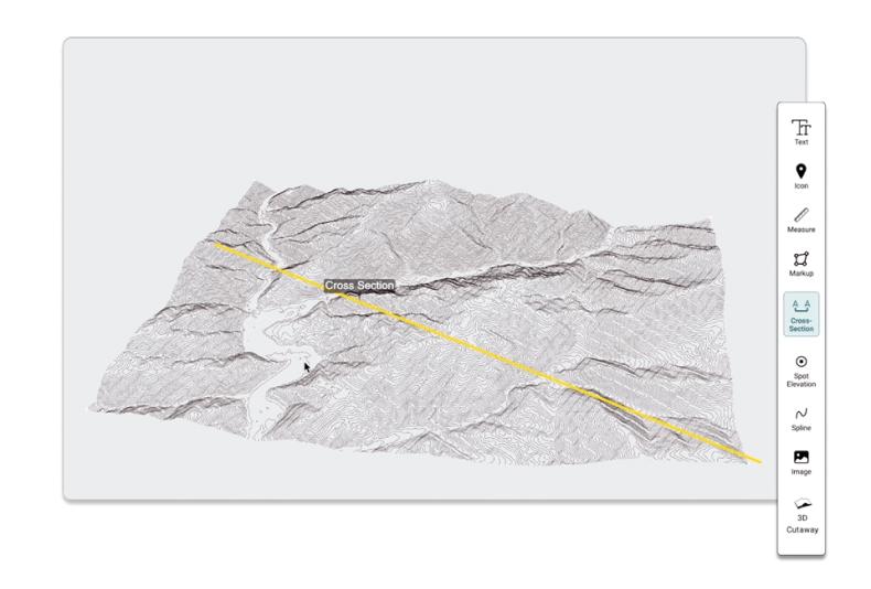
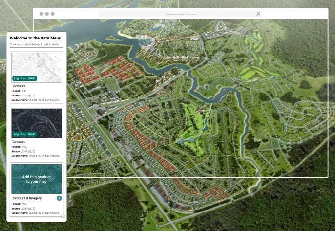
Unprecedented, high-quality LiDAR and topographic maps are now available online, revolutionizing the work of Archaeologists everywhere. For the first time, access these key insights from LiDAR instantly without GIS assistance, using Equator.
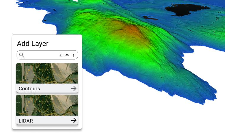
Explore difficult-to-access areas with LiDAR
Avoid surprises on site and investigate areas that were once off-limits, like private properties and densely built-up areas, with DEMs and LiDAR data.
Instantly view your site in vivid detail
- Generate DEMs, contours, point clouds and more!
- Share maps with others online