Memphis Topographic Map: view and extract detailed topo data
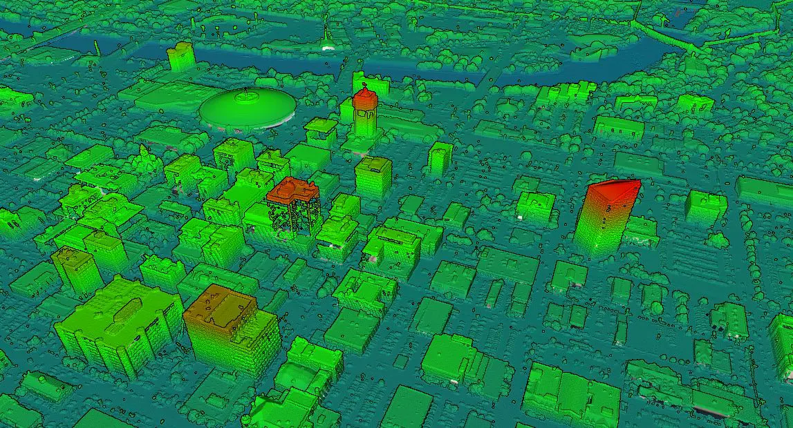
RJ2024-03-25T18:15:54-04:00Memphis Topographic Map The topographic map of Memphis with the highest accuracy on
Memphis Topographic Map The topographic map of Memphis with the highest accuracy on
Wichita Topographic Map The most detailed topographic map of Wichita. Locate, create and
Tulsa Topographic Map The most detailed topographic map of Tulsa on the internet.
Create base plans from the Illinois topographic map Find, create, and share Illinois
Equator is not a Hamilton Land Surveyor Equator autogenerates base plans from
San Bernardino Topographic Map The topographic map of San Bernardino with the highest
Boulder Topographic Map The most detailed topographic map of Boulder. Locate, create and
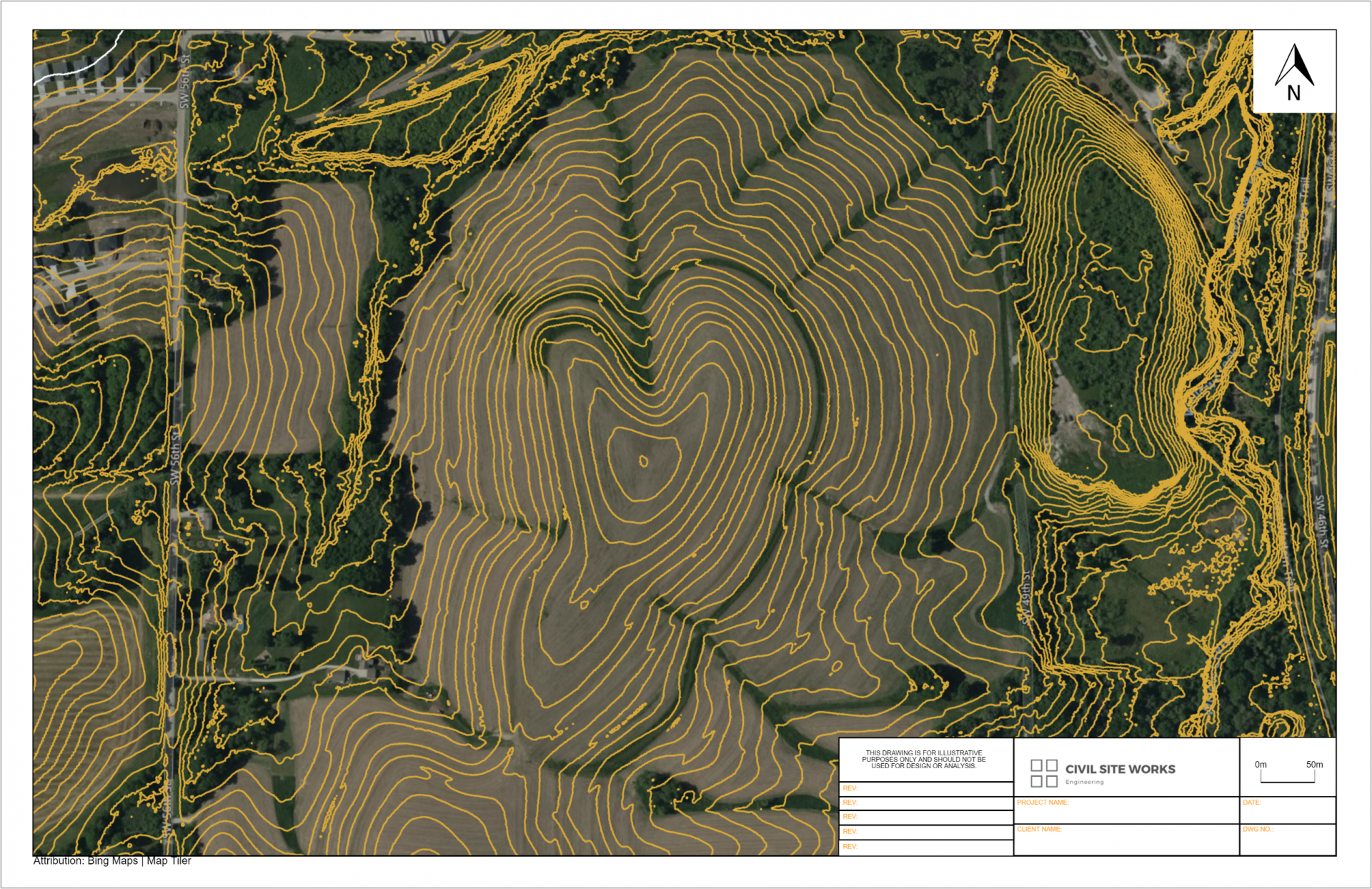
Create base plans from the Arkansas topographic map Find, create, and share Arkansas
Lincoln, Nebraska Topographic Map The most detailed topographic map of Lincoln, Nebraska. Find,
Equator is not a Des Moines Land Surveyor Equator autogenerates base plans from