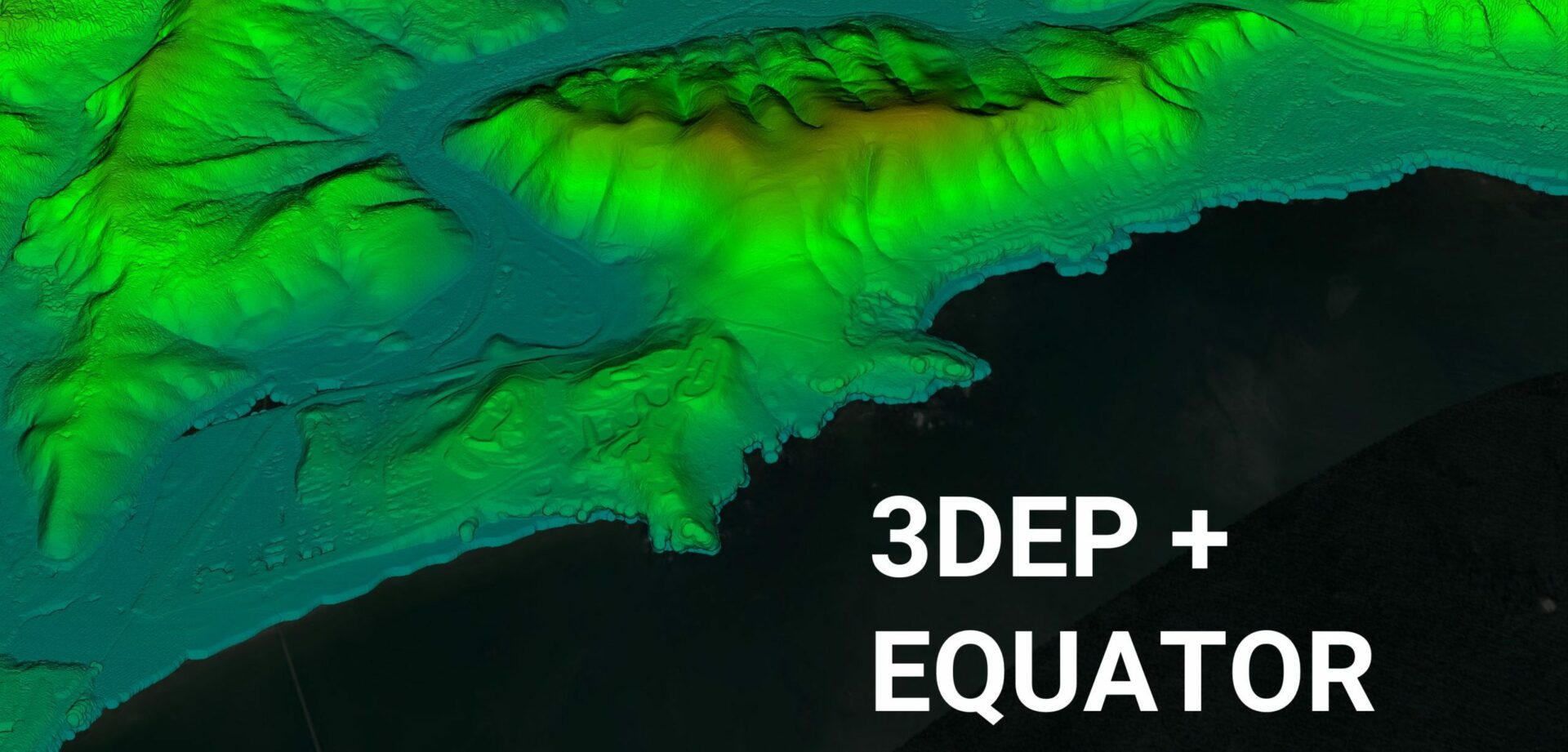
Equator Launches 3DEP USGS Topographic Maps
Rebecca Swabey2024-03-25T08:34:15-04:00Equator Launches 3DEP High-Resolution USGS Topographic Maps Equator provides unprecedented access
Equator Launches 3DEP High-Resolution USGS Topographic Maps Equator provides unprecedented access
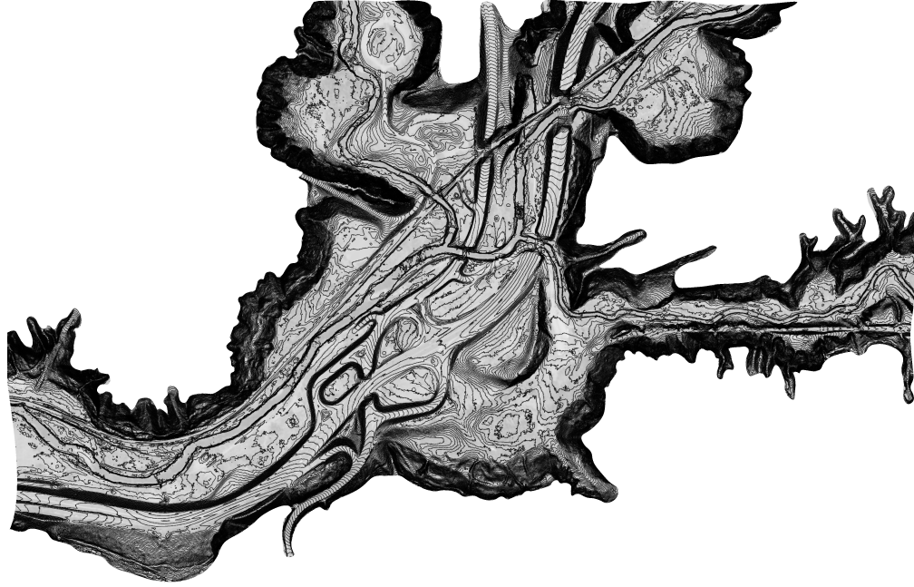
Toronto Topographic Map The most detailed topographic map of the City of Toronto
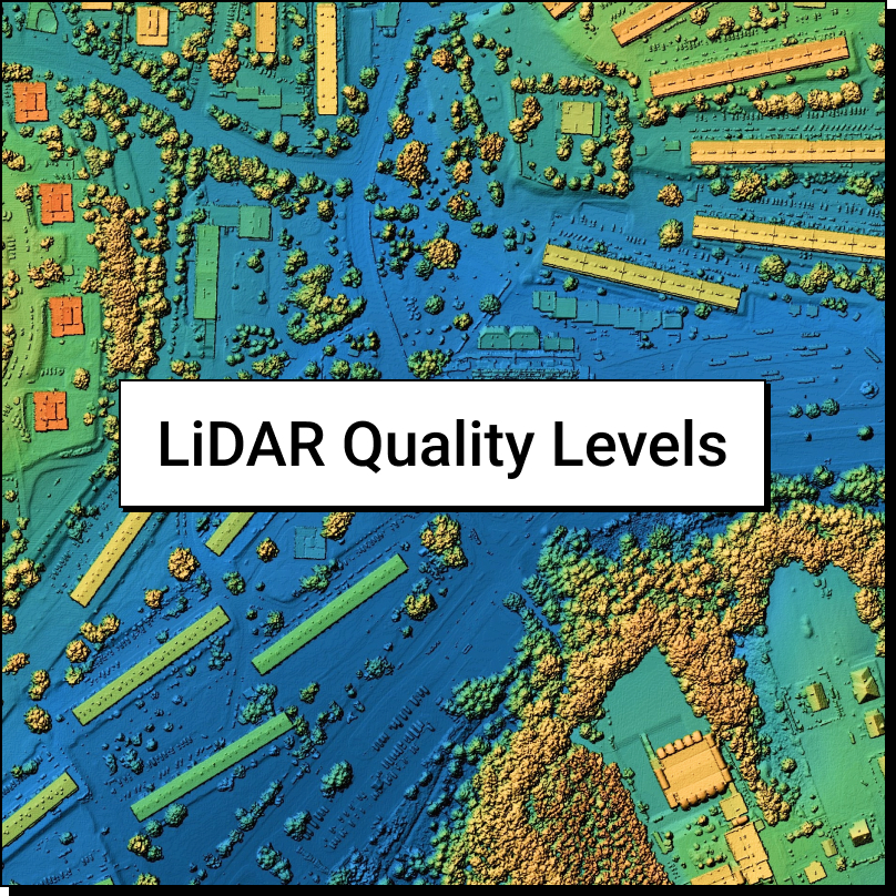
LiDAR Quality Levels What is LiDAR data? LiDAR is a radar
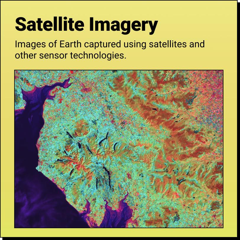
Satellite Imagery A Product of The 'Data Revolution' Satellite Imagery are images of
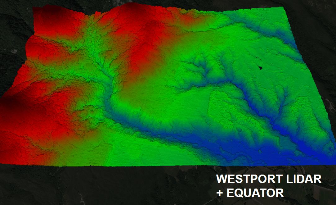
Equator Launches the Westport LiDAR data set Equator provides unprecedented access
Equator is not a Wellington Land Surveyor Equator autogenerates base plans from
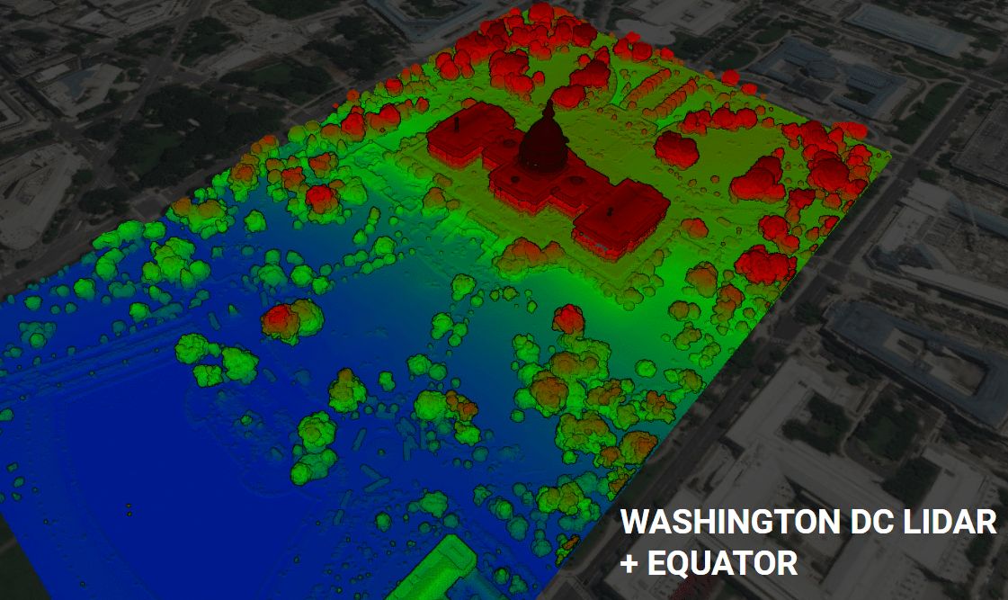
Equator Launches the Washington DC LiDAR data set Equator provides unprecedented
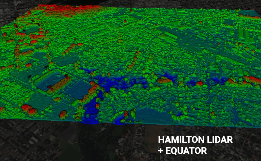
Equator Launches the Hamilton, New Zealand LiDAR data set Equator provides
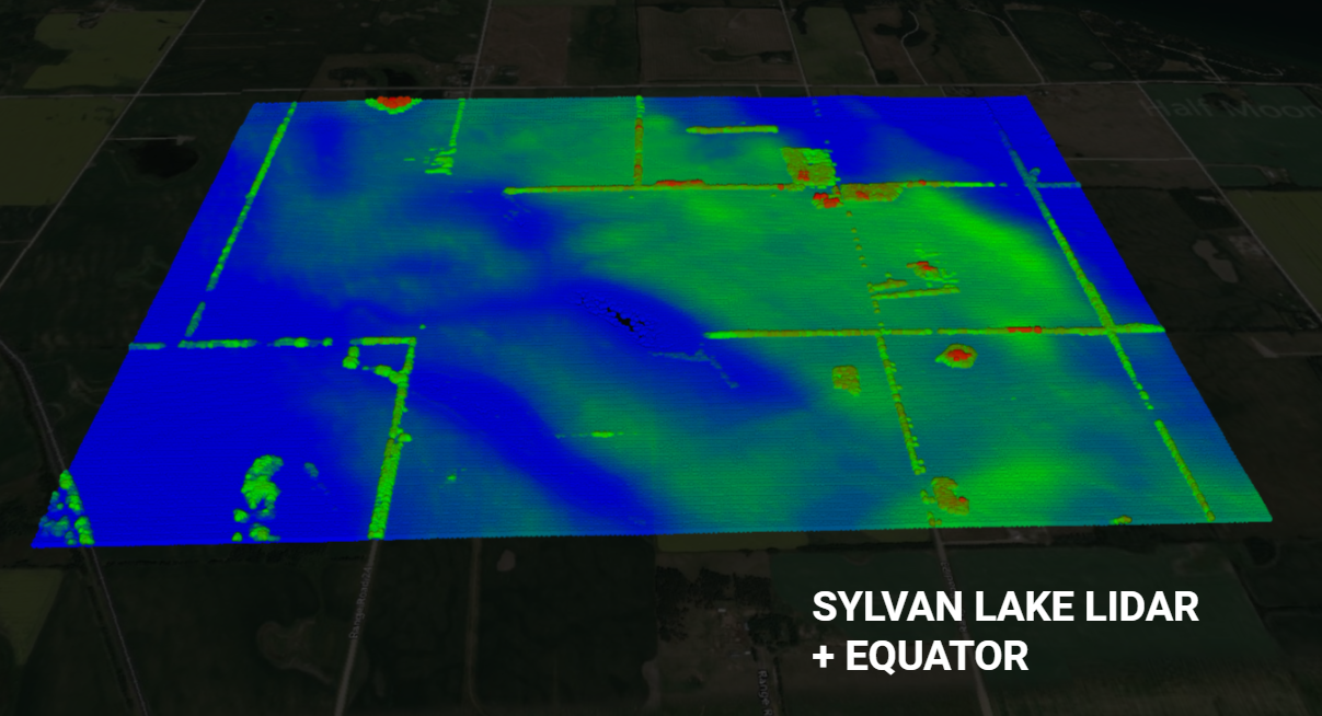
Equator Launches the Sylvan Lake LiDAR data set Equator provides unprecedented
Equator is not a Reporoa Land Surveyor Equator autogenerates base plans from