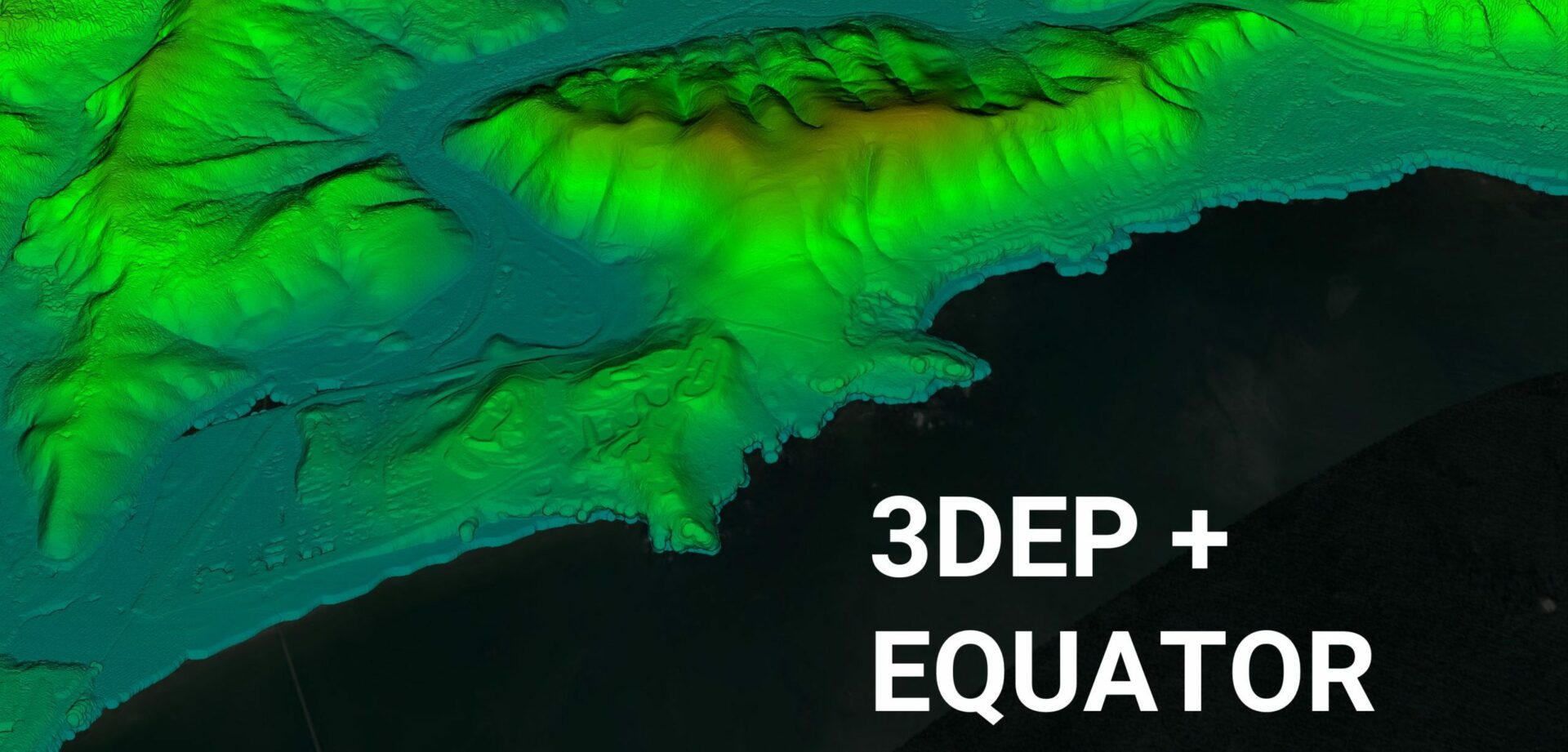
Equator Launches 3DEP High-Resolution USGS Topographic Maps
Equator provides unprecedented access to inches of accuracy, in a user-friendly online design platform.
Last Updated: November 7, 2021

Equator has recently launched support for high-resolution USGS topographic maps, provided through the 3D Elevation Program (3DEP). The program aims to collect Quality Level 1, 2 and 3 LiDAR data, which ranges from 1 foot to 6 inches in vertical accuracy. This ambitious project to create nationwide LiDAR data will be completed by 2023.
Equator integrates 3DEP LiDAR data directly and converts it into 2D and 3D topographic maps on demand. Historically, high-resolution topographic maps were only accessible to GIS specialists with expensive desktop software. Equator opens up high-resolution US topo maps to everyone who needs them.
By upgrading the accessibility and quality of the data provided online, more people can take part in important discussions on managing, preserving, and protecting the Nation’s natural resources.
The Equator developers have seen an uptick in users accessing high-resolution US topographic maps through their platform in the past few months. 50% of new users come from civil engineering, architecture, and land development sectors, 20% from educational institutions, and the remaining 30% from a collection of associated industries, such as real estate.
Readers can learn more about accessing high-resolution US topo maps in Equator by clicking here to try the platform online now, or by reading more on the Equator website.