Check out the latest tutorials from our passionate team of mapping experts
Have an idea for a tutorial we should add? Let us know!

Get Topography for OpenSite Designer with Equator Create a 2D contours or 3D terrain in OpenSite Designer Software using high resolution elevation data from Equator.

Get Topography for Rhino with Equator Create a 3D terrain in Rhinoceros 3D Software using high resolution elevation data from Equator. Download Contours Here
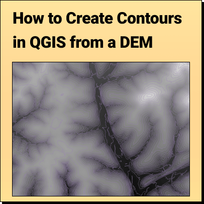
How to Create Contours in QGIS from a DEM: Download DEM file Open the DEM in QGIS Run the contours process
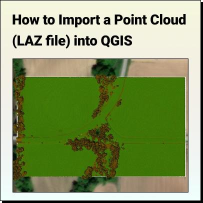
How to Import a LiDAR Point Cloud (.LAZ) into QGIS QGIS version 3.25 (released in 2021) and subsequent versions has a feature that allows

Get Topography for Manifold GIS with Equator Create a 2D contours or 3D terrain in Manifold GIS Software using high resolution elevation data from Equator.

Get Topography for MicroStation with Equator Create a 2D contours or 3D terrain in Bentley MicroStation Software using high resolution elevation data from Equator. Download
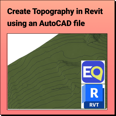
Create Topography in Revit Learn how to create a 3D Terrain in Revit using an AutoCAD (.dwg) file Background: What is Revit? Who
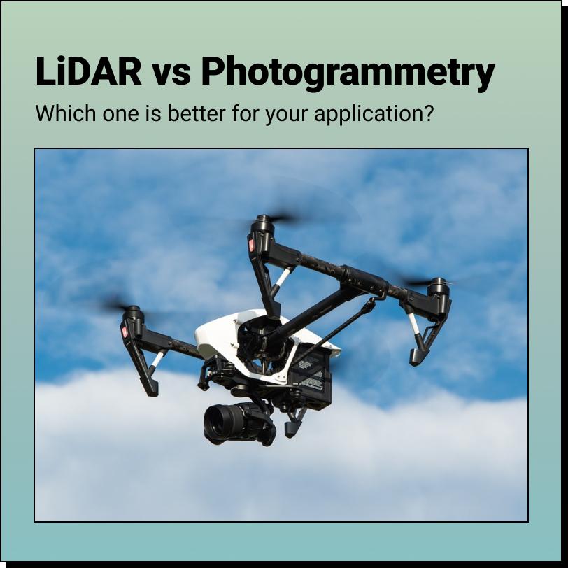
Drone LiDAR vs. Photogrammetry Which one is better? The answer to that depends on a few different factors - what is your project, what is
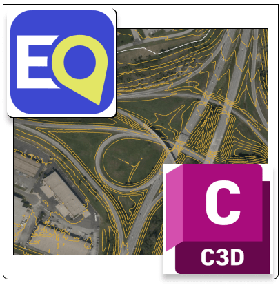
Get Topography for Civil 3D with Equator Create a 2D contours or 3D terrain in AutoDesk Civil 3D Software using high resolution elevation data from

Get Topography for SketchUp with Equator Create a 3D terrain in SketchUp Pro Software using high resolution elevation data from Equator. Download Elevation Data Here

Get Topography for OpenRoads with Equator Create a 2D contours or 3D terrain in Bentley OpenRoads Designer Software using high resolution elevation data from Equator.

Get Topography for InfraWorks with Equator Create a 2D contours or 3D terrain in AutoDesk InfraWorks Software using high resolution elevation data from Equator. Download
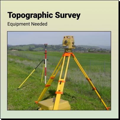
What Equipment is Required to Complete a Topographic Survey? A topographic survey involves collecting feature data for a plot of land, such as contours, elevations,
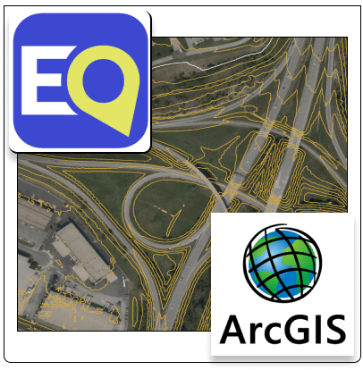
Get Topography for ArcGIS with Equator Create a 2D contours or 3D terrain in ESRI ArcGIS Software using high resolution elevation data from Equator. Download

Get Topography for InfoDrainage with Equator Create a 2D contours or 3D terrain in AutoDesk InfoDrainage Software using high resolution elevation data from Equator. Download
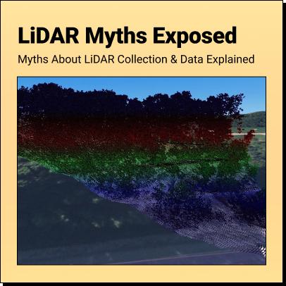
LiDAR Myths Exposed Six Common Myths and Misconceptions about LiDAR Collection and Data Explained Myth 1: More points are always better