LiDAR Myths Exposed
Six Common Myths and Misconceptions about LiDAR Collection and Data Explained
Myth 1: More points are always better
In reality, it depends! More points mean higher cost, slower processing and larger datasets so it’s important to know what is required for job and weigh the factors! When are more points typically better: In a densely forested area to increase the chances of penetration and in areas with abrupt changes in elevation. When are more points not adding value: In flatter areas, that have limited to no vegetation coverage and when the study area is quite large, and high density/resolution information is not required
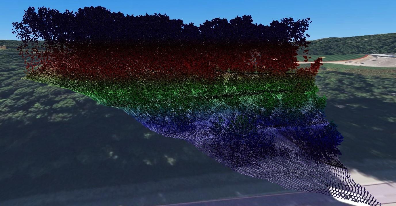
Point cloud showing all points of a densely forested area with abrupt changes in elevation.
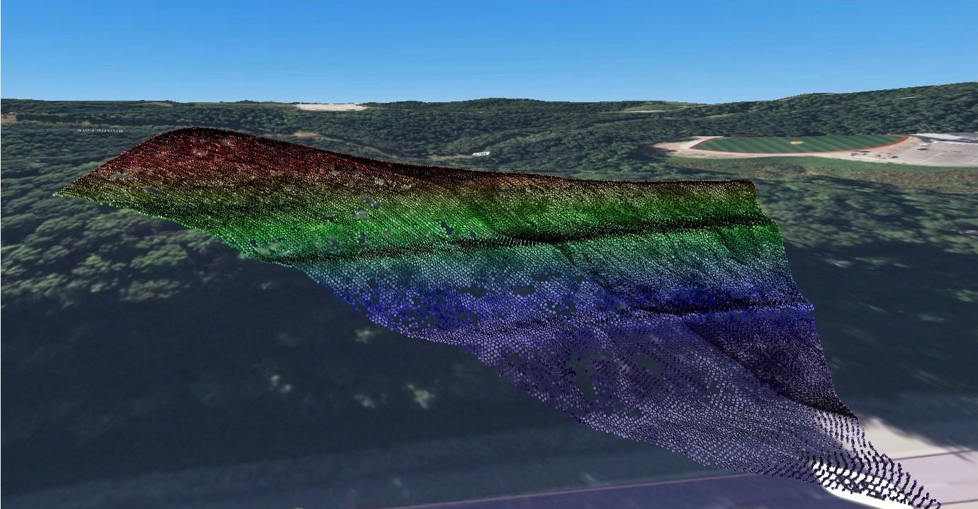
Point cloud showing ground only points of a densely forested area in abrupt changes in elevation. In this instance high resolution (i.e. more points) is better to get maximum coverage of the ground.
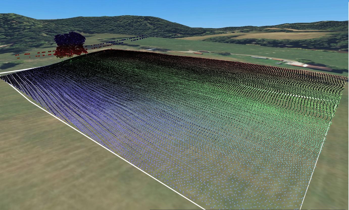
Point cloud showing all points of relatively flat farmland.
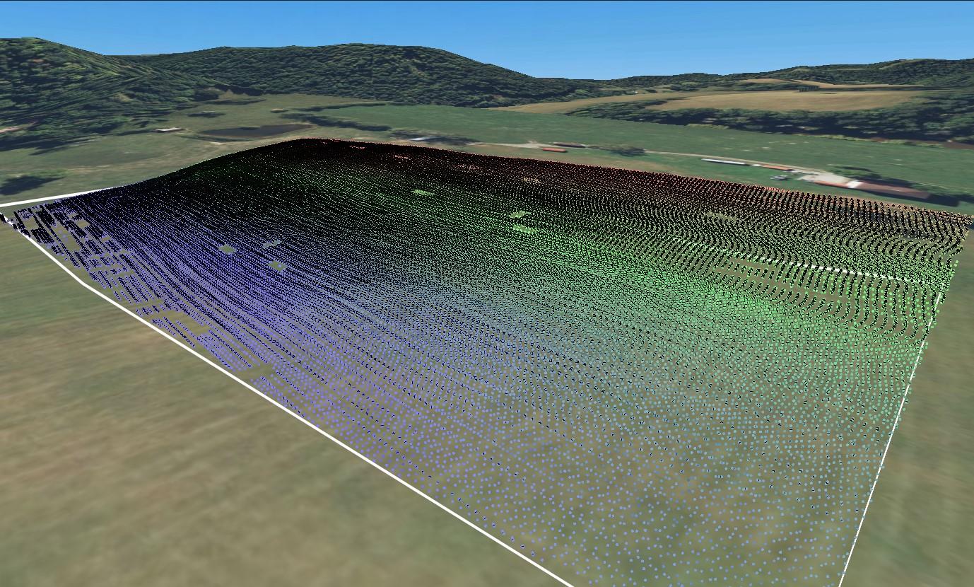
Point cloud showing ground only points of relatively flat farmland. Since there are minimal changes in elevation and limited vegetation coverage, high resolution is not required.
Myth 2: LiDAR can see through foliage
No, sadly LiDAR is not the same as x-ray vision. LiDAR penetrates the space between the foliage, trees, and other flora.
Myth 3: LiDAR is an all-weather system
While LiDAR can be collected day or night, the pilot still needs to keep an eye on the weather. Water absorbs most near infrared light and therefore cannot operate effectively during fog, rain, or snow. It also cannot penetrate clouds.
Myth 4: LiDAR is a new technology
Quite the opposite, its more than 60 years old! LiDAR was actually developed soon after the first lasers in the 1960’s. LiDAR was used during the Apollo 15 mission in 1971, and then began being used for commercial purposes in the 1980’s after GPS became available for public use.
Myth 5: LiDAR data is hard to find
Historically LiDAR data was hard to find due to lack of data and restrictive file sizes. The goal to make LiDAR free to public access has slowly become possible as advancements in technology make it easier and more cost effective.
There are currently a number of programs in place that utilize 3D LiDAR point clouds available through various online platforms.
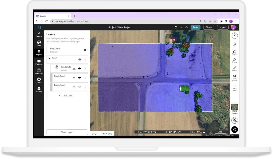
These datasets can all be found on Equator’s online platform.
We hope this helps. Take a look at some of Equator’s other blogs and “How-to tutorials”!


