Case Studies
See how leading firms are cutting survey costs, winning work, and finishing projects faster.
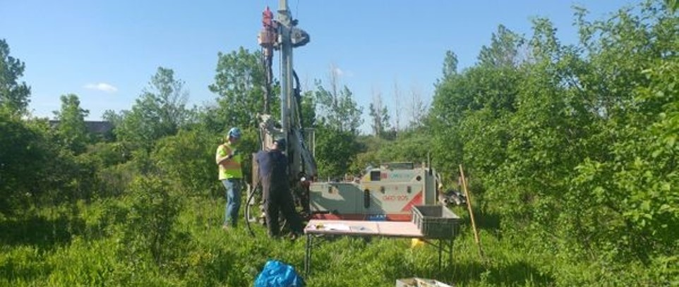
How Egmond Associates Ltd. uses Equator to source topographic data and complete slope stability assessments faster Overview Founded in 1987, Egmond Associates
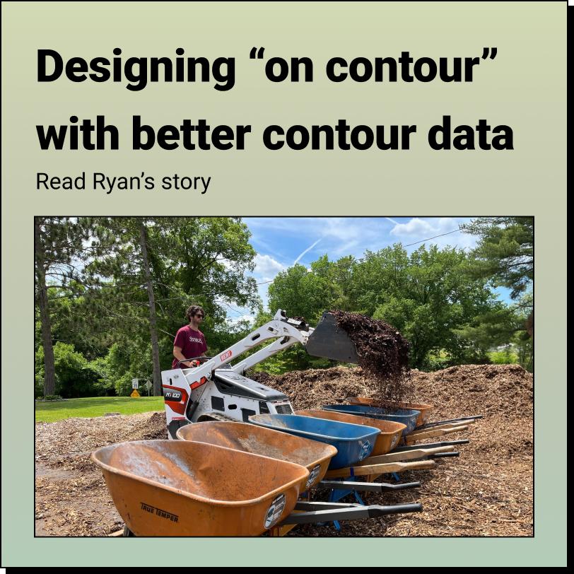
How Ryan's Foodscape Designs Flourish with Better Contour Mapping in Equator About Ryan Albritton: Design and Foodscape Manager Company: Custom Foodscaping (https://www.customfoodscaping.com/)
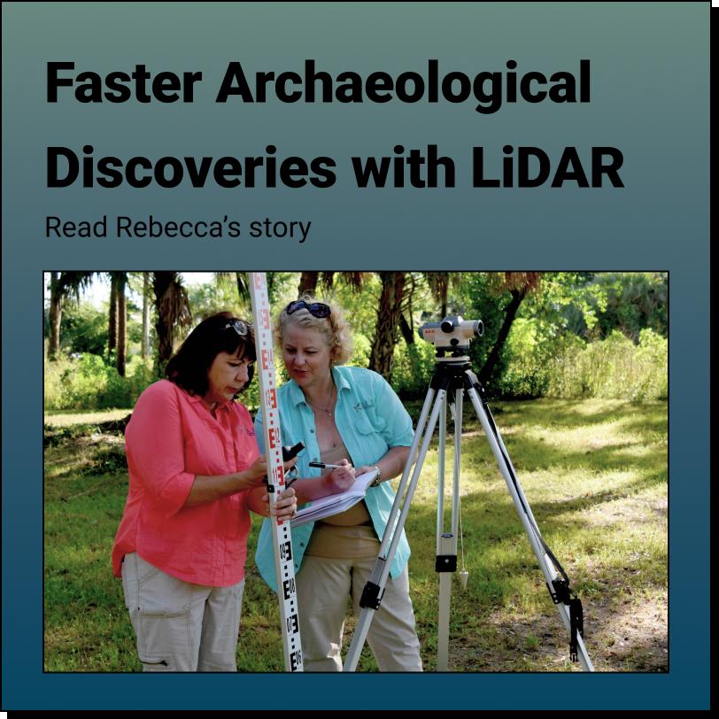
How Rebecca uncovers hidden history with Equator and LiDAR! About Rebecca: Founder, Principal Investigator and Executive Director Organization: Smyrnéa Archaeological Research Institute
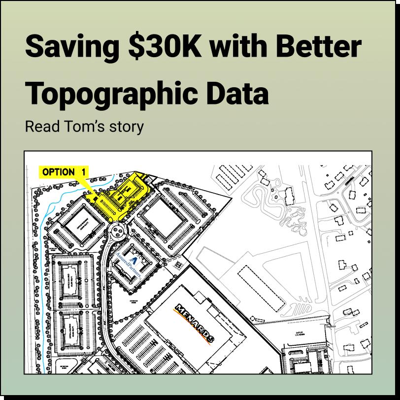
How Tom Accelerates Real Estate Development and saved $30,000 using Equator About Tom: Director of Real Estate Development Location: Kentucky
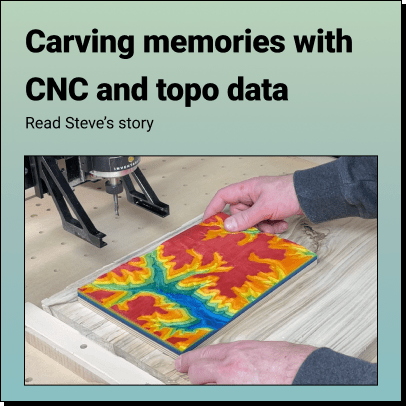
How Steve Brings His Favorite Places to Life in Vivid 3D Using Topographic Data from Equator About Steve Moseley: Civil Engineer, Artist, Builder
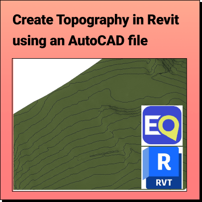
Create Topography in Revit Learn how to create a 3D Terrain in Revit using an AutoCAD (.dwg) file Background: What is Revit? Who
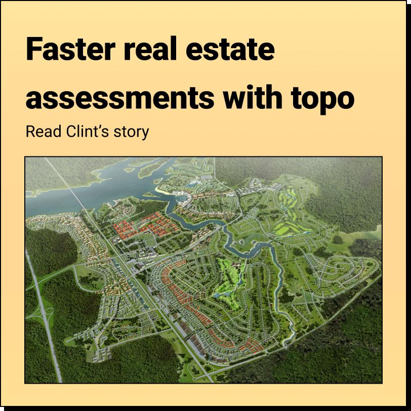
How Clint Speeds Up Drainage Assessments and Real Estate Decisions with Better Topo Data About Clint Karsetter: Principal, Owner Company: CK Civil Engineering
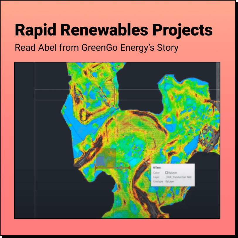
How Abel cut his proposal costs and sped up his projects with Equator About Abel: Senior Civil Engineer Location: Mexico City, Mexico

How Jose used Equator to dramatically speed up relief response after hurricane Fiona About Jose: Independent surveyor/ designer Location: Based in Puerto Rico