Slope Stability: How EAL uses Equator to source topography
Rebecca Swabey2024-03-25T06:34:54-04:00How Egmond Associates Ltd. uses Equator to source topographic data and complete slope
How Egmond Associates Ltd. uses Equator to source topographic data and complete slope
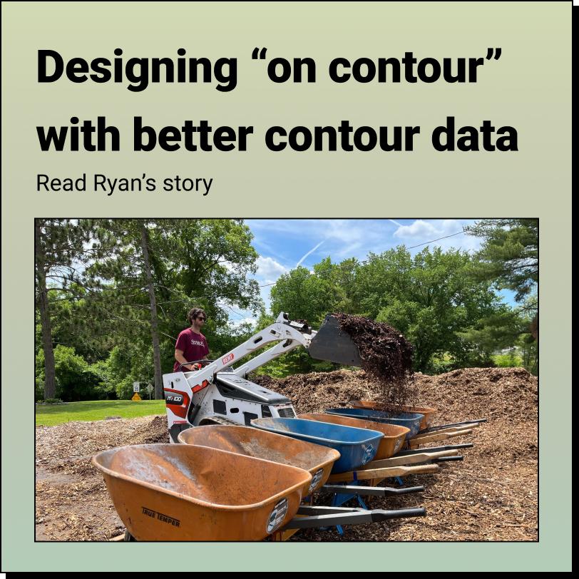
How Ryan's Foodscape Designs Flourish with Better Contour Mapping in Equator
How Rebecca uncovers hidden history with Equator and LiDAR! About Rebecca:
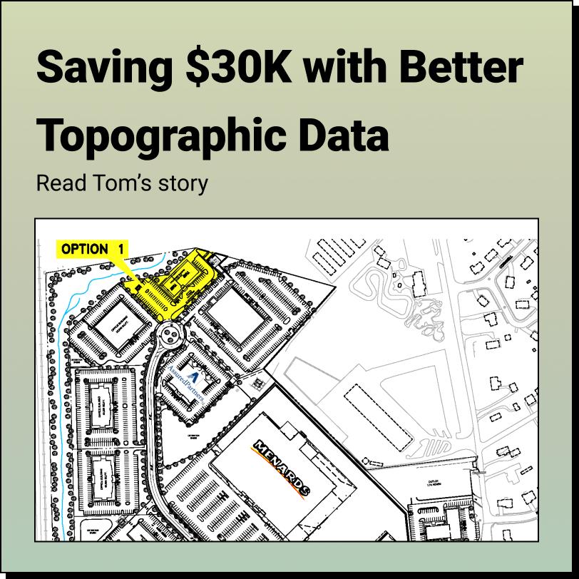
How Tom Accelerates Real Estate Development and saved $30,000 using Equator About
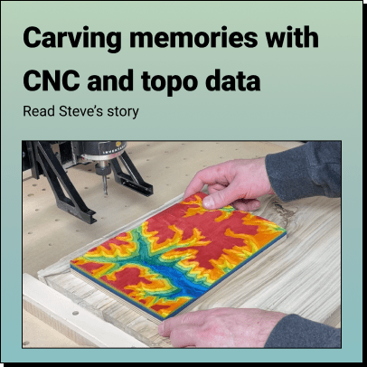
How Steve Brings His Favorite Places to Life in Vivid 3D Using Topographic Data
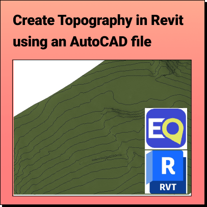
Create Topography in Revit Learn how to create a 3D Terrain in
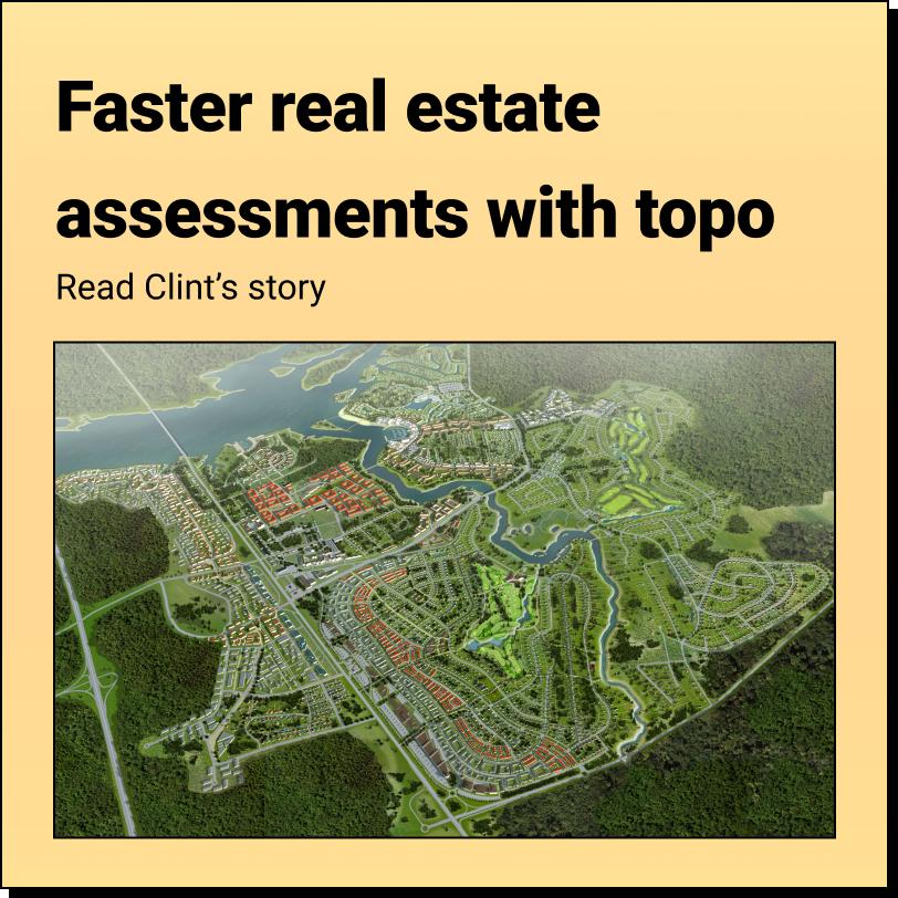
How Clint Speeds Up Drainage Assessments and Real Estate Decisions with Better Topo
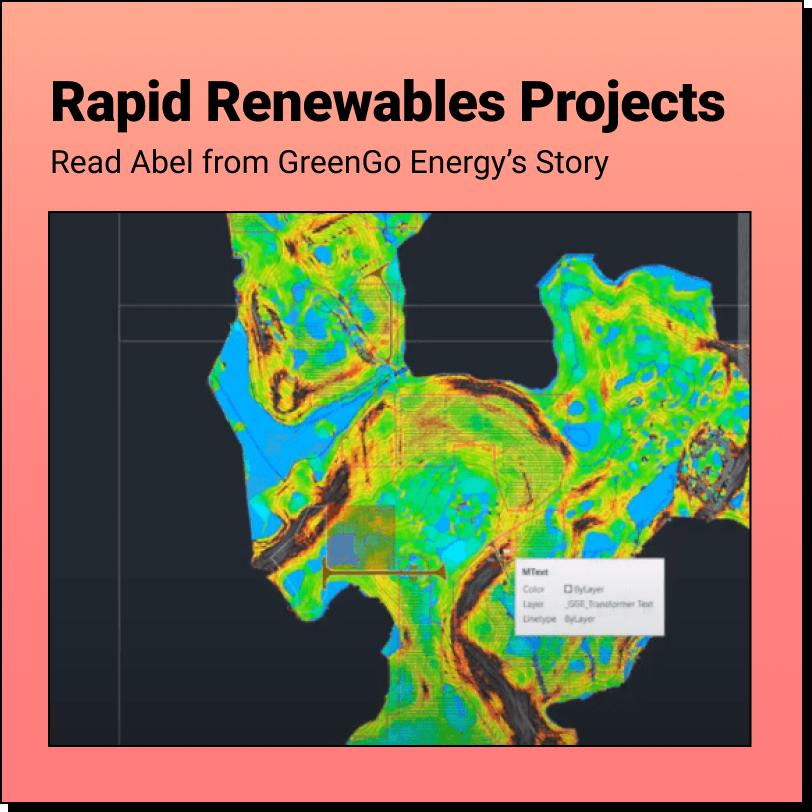
How Abel cut his proposal costs and sped up his projects with Equator
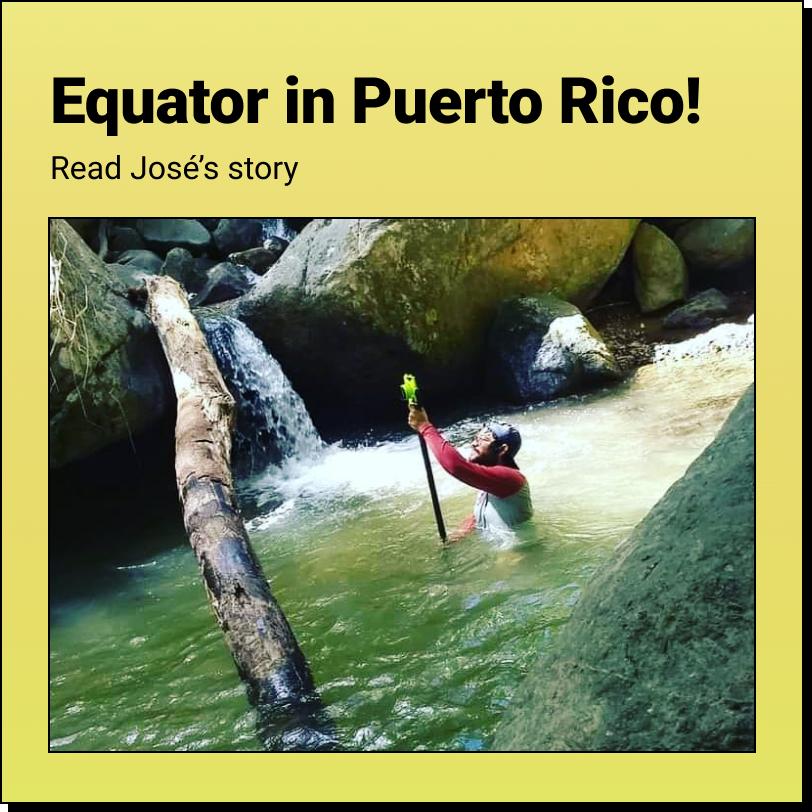
How Jose used Equator to dramatically speed up relief response after hurricane Fiona