Interactive Elevation Map

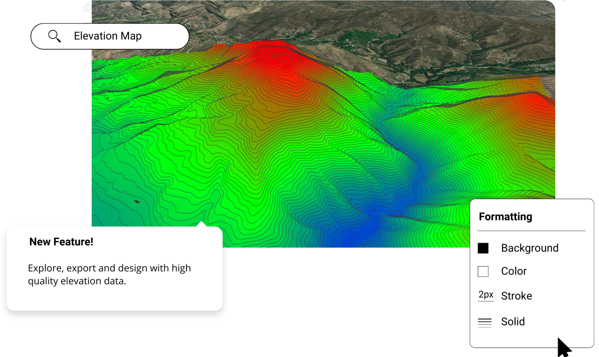
Create interactive maps and figures in minutes using the best elevation data online, in the Equator platform. Share maps with others instantly.

Interactive Elevation Map

Join other leading designers on Equator.

Equator Layers

What is Equator?

Equator is an online map-making software for civil engineers, architects, and designers. Equator includes thousands of built-in data sets, like LiDAR and DEMs and easy-to-use design and map making tools. Create accurate, professional maps in minutes!

Create an interactive elevation map in Equator

  • Navigate to your location of interest
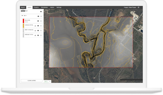
  • Add contours, LiDAR, or hillshades to your site

  • Add markups, icons and measurements to your elevation map

  • Take detailed measurements of the site

  • Share your elevation maps with others online or in print

Equator GIS CAD Software Integrations

Integrate your map with other software

We’ve made it easy to integrate into your current workflow to get you up and running without friction.

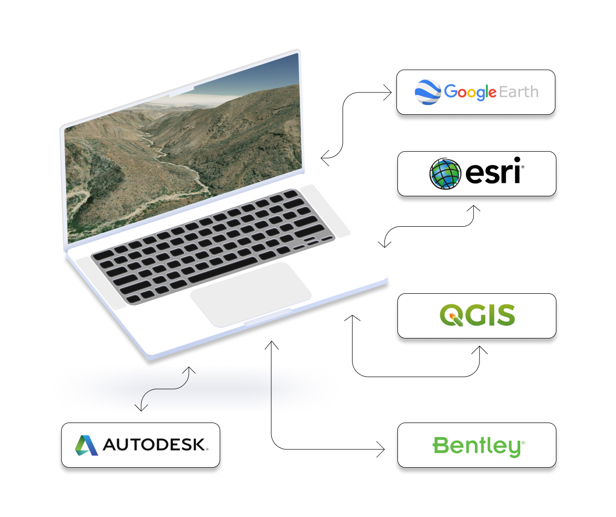
Equator supports popular GIS and CAD data formats, so map layers like LiDAR can be easily exported to Civil 3D, ArcGIS, Google Earth, or other platforms.

How to Get Started

Step 1

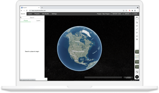
Open Equator, a map-making platform that works in your browser.

Step 2

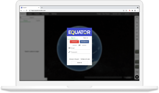
Create an account by signing up with your favorite email address.

Step 3

Use the built-in search engine and design tools to find elevation data and build your map.

Frequently Asked Questions

Digital elevation is a way of representing the ground surface in three dimensions. It’s created by taking aerial photographs or satellite images and then creating a Digital Elevation Model (DEM) from them. This model can be used for things like modelling drainage systems, flood control measures, and even planning bike routes! So if you’re interested in any kind of engineering or land surveying work, it’s definitely worth learning more about digital elevation.

There are a lot of different places to get digital elevation data. If you’re looking for data for a specific area, your best bet is to go to the source: the agency that collects and maintains information about elevations in that area. But if you’re just looking for general data, there are a few different sources to check out. For one, we have the most up to date digital elevation models right here, in the Equator Site Builder! The United States Geological Survey (USGS) also has a database of digital elevation data called the National Elevation Dataset (NED). You can download NED data for free from the USGS website. Alternatively, if you are willing to pay for data, you can purchase it from commercial providers like Geographical Data Solutions (GDS) or kinescope.com. Whichever provider you choose, make sure to review their licensing agreement carefully to ensure that you are authorized to use the data in your project.

Elevation data can be used to create topographical maps, which show the elevations of different areas. This information can be helpful in planning construction projects or understanding the natural landscape. Furthermore, they can be used to monitor weather conditions, assisting meteorologists to track weather patterns and predict extreme weather events. Also, by tracking the elevation changes over time, scientists can better understand how climate change is impacting our planet.

Ever wondered how to extract elevation data? Wonder no more! Using Equator Site Builder, we’ll show you how to extract detailed digital elevation models for free!