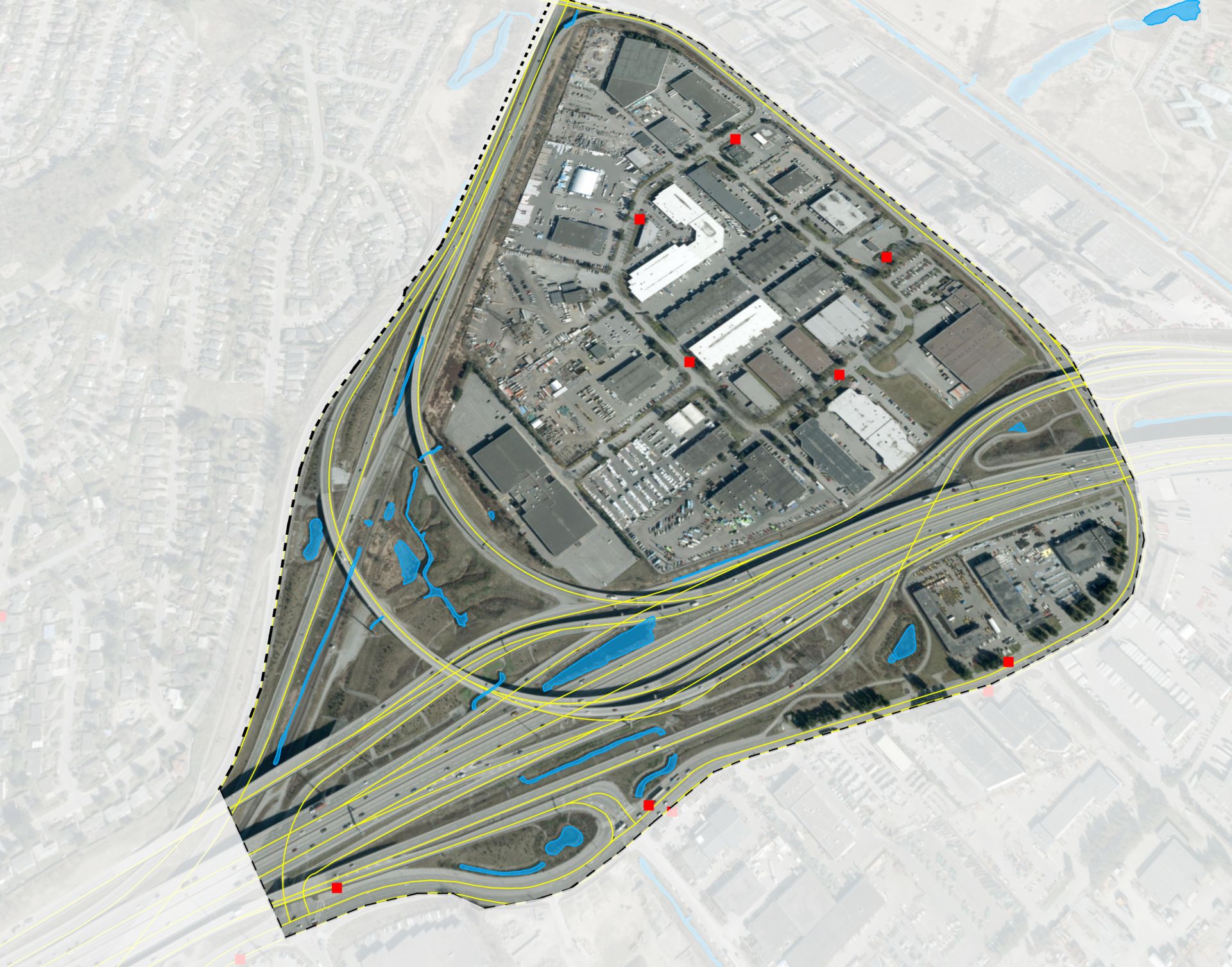
What is a KML File?
Keyhole Markup Language (KML) was created to store geographic annotation and visualization within 2D and 3D map spaces.
A KML file can include geographic features such as places, images, polygons, 3D models, and text. Each feature will include associated coordinates (latitude and longitude) so that it can be places accurately on a map.
What is a KMZ File?
A KMZ file is basically a combination of multiple KML files into a single zipped file. KMZ files result in lossless compression and decreases file sizes. Map images can be large in size, so typically the preferred format because of it’s smaller size and faster download/upload time.

How to Open a KML/KMZ File?
Geographic Information Systems (GIS) software is typically required to open and view a kml/kmz file. There are a few popular options that range from free to thousands of dollars per year. Equator is free and easy to use (no installation required), just click on “Go To Viewer” to give it a try. Other alternatives include Google Earth, ArcGIS, or QGIS.
Equator KML/KMZ Supported Elements
Equator currently supports KML & KMZ files containing vector data (points, lines and polygons).
You can find thousands of spatial data files right in Equator – things like roads, rivers, pipes, parks, buildings. Check out this tutorial to learn how, or click “Go To Viewer” to explore on your own.
Here are a few spatial files you can download for reference:
