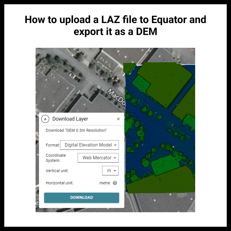
How to upload a LAZ file to Equator and export it as a DEM
RJ2024-03-24T14:45:35-04:00How to upload a LAZ file to Equator and export it as a
How to upload a LAZ file to Equator and export it as a
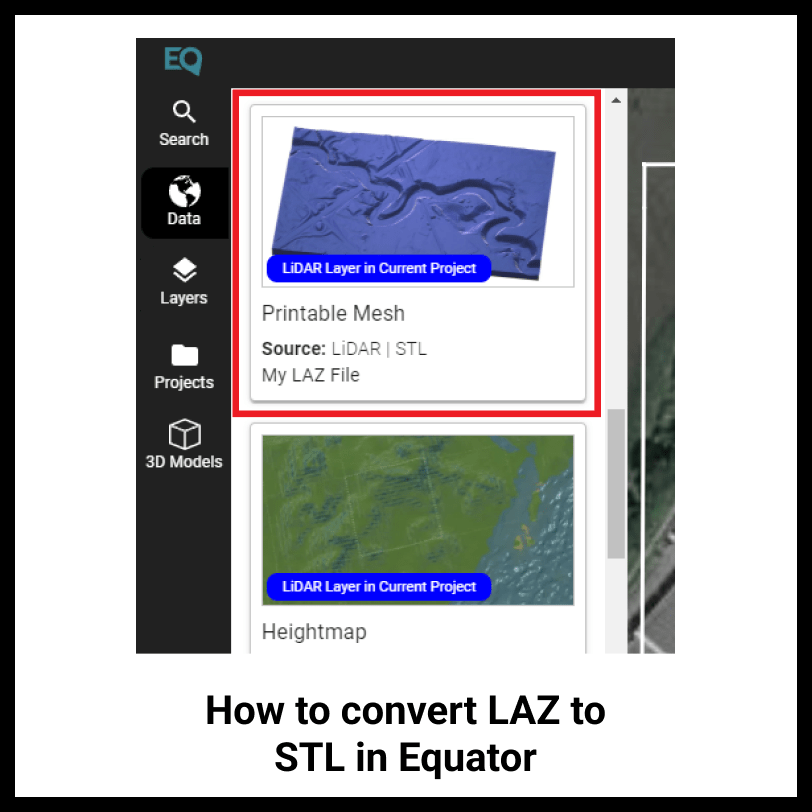
How to convert LAZ to STL in Equator Use Equator to turn your LAZ
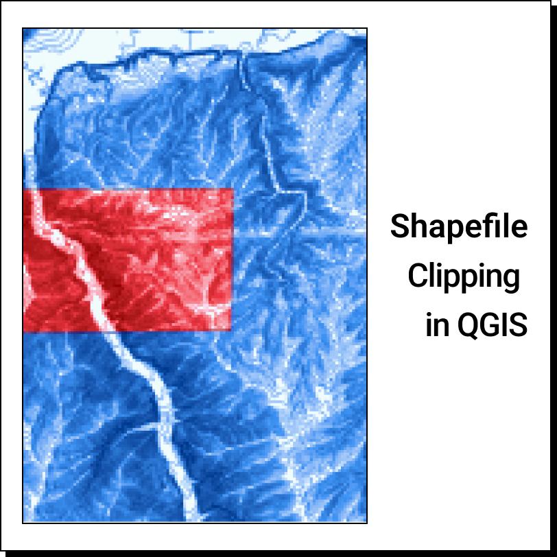
How to Clip a Shapefile in QGIS: Obtain a Shapefile Open Shapefile in QGIS
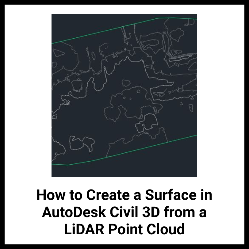
How to Create a Surface in Autodesk Civil 3D from a LiDAR Point
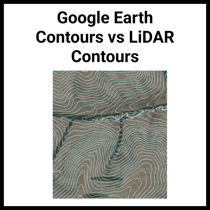
Google Earth Contours vs LiDAR Contours In this article you will learn how
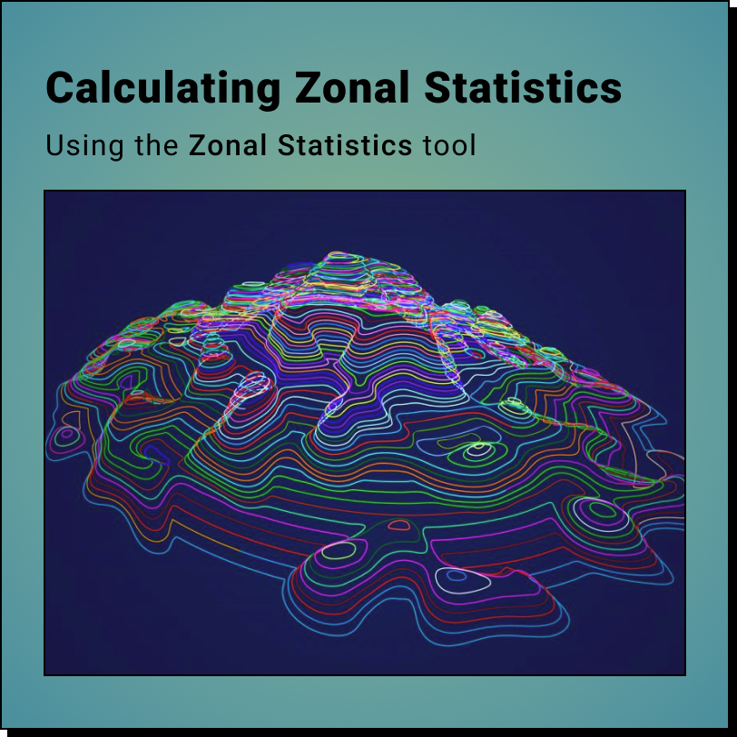
How to Calculate Zonal Statistics using DEMs and QGIS: Gather Data Calculate Zonal
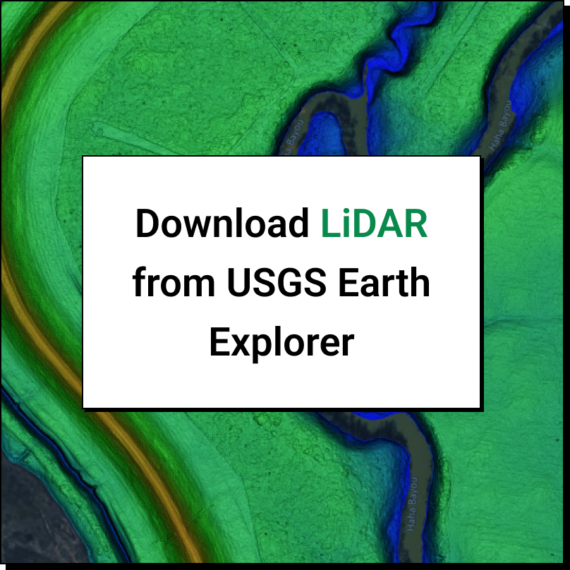
How to download LiDAR data from the USGS Earth Explorer? To download LiDAR
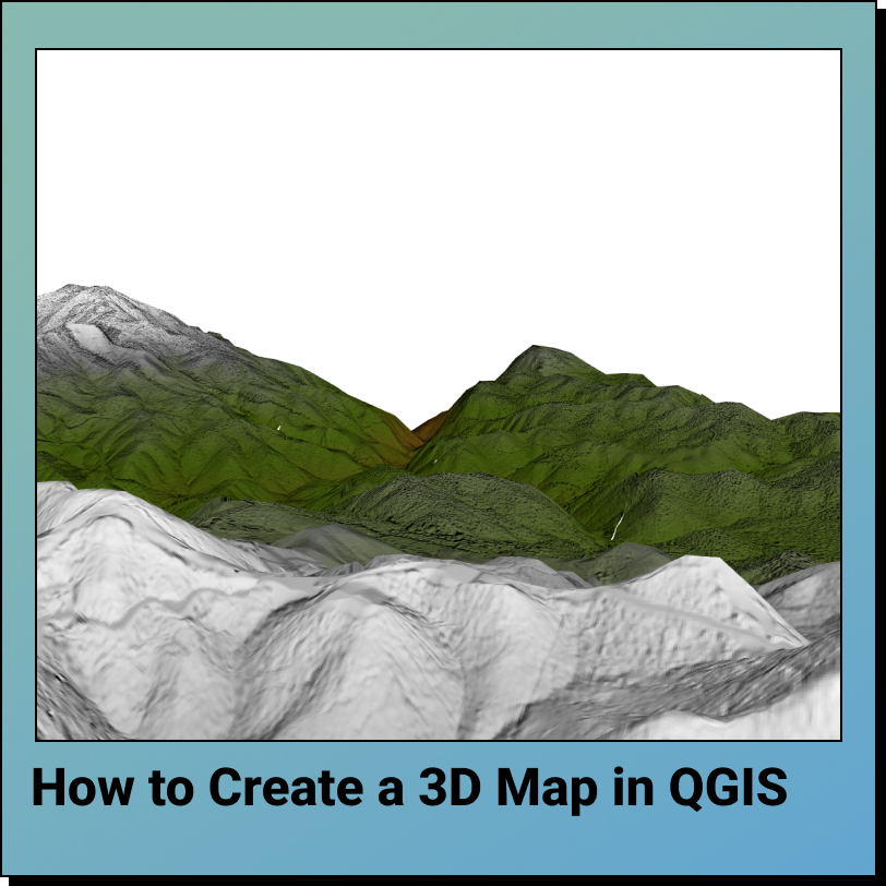
How to Create a 3D Map in QGIS in 5 Steps: Upload Data Generate
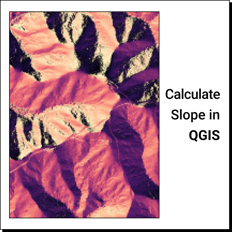
How to Calculate the Slope of a DEM in QGIS in 3 Easy Steps:
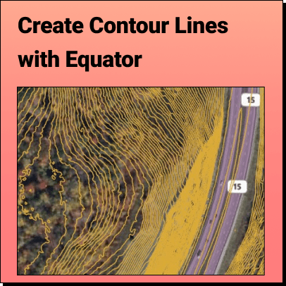
How to View Contour Lines With Equator, accurate contour lines can