Create a CNC Carving of a Topographic Map

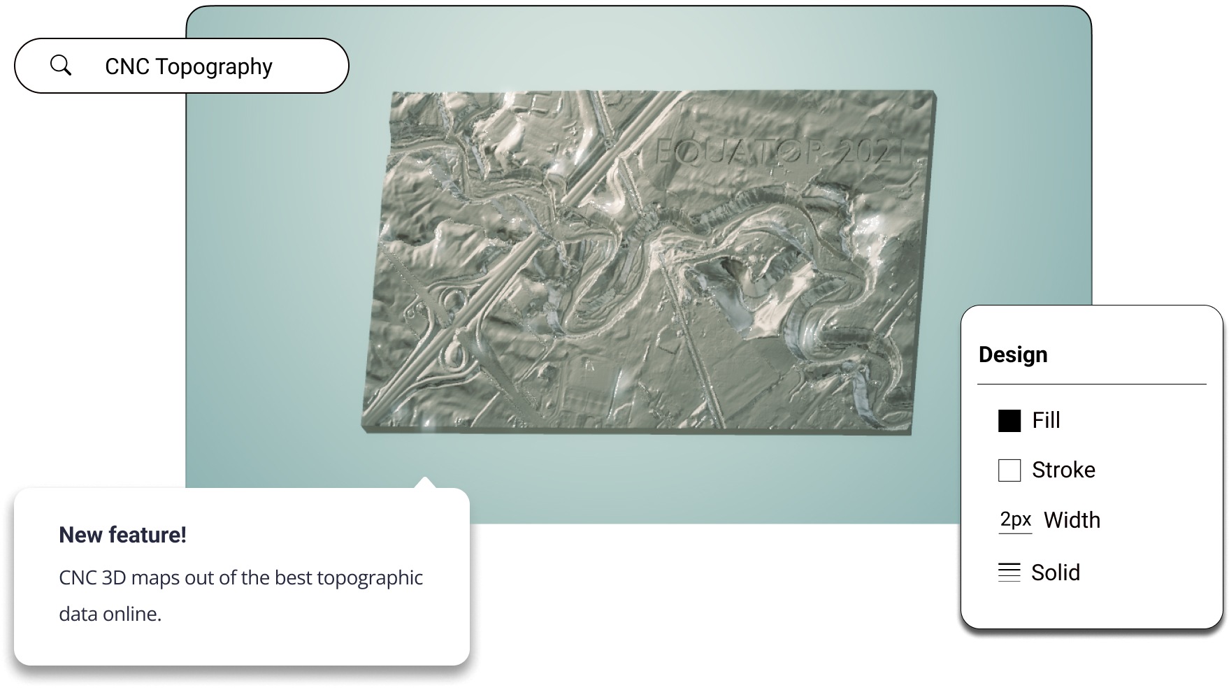
CNC 3D topographic maps using Equator. Access the best topographic data online and download maps and 3D terrain files in minutes.

CNC Topographic Map Generator

Join other leading designers on Equator.

See how Scott creates beautiful topographic wood maps with CNC and LiDAR from Equator
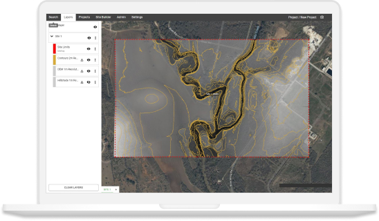
Equator Layers

What is Equator?

Equator is an online map-making software for civil engineers, architects, and designers. Equator includes thousands of built-in data sets, like LiDAR and DEMs and easy-to-use design and map making tools. Create accurate, professional maps in minutes!

Make a 3D topographic map in Equator

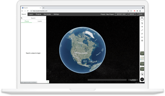
  • Navigate to your location of interest
  • Search through high-res and low-res topographic data sets
  • Generate an STL file of the 3D topography for your CNC project
  • Download your 3D topographic map file
  • Design and create your CNC topographic map project!

Equator GIS CAD Software Integrations

Integrate your map with other software

We’ve made it easy to integrate into your current workflow to get you up and running without friction.

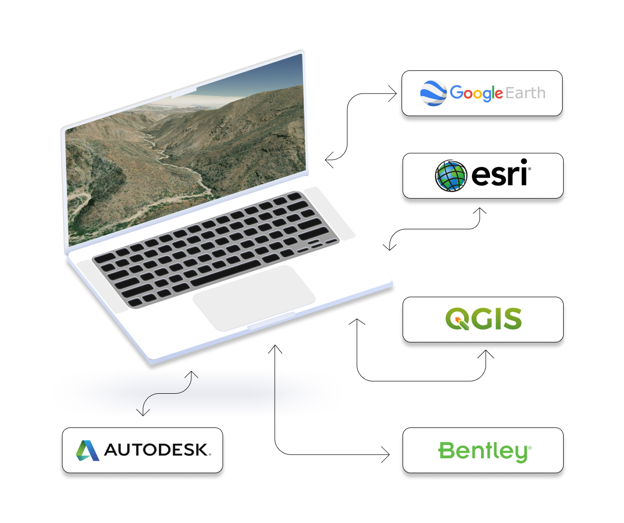
Equator supports popular GIS and CAD data formats, so map layers like LiDAR can be easily exported to Civil 3D, ArcGIS, Google Earth, or other platforms.
How to Get Started

Step 1

Open Equator, a map-making platform that works in your browser.

Step 2

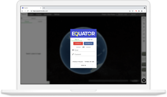
Create an account by signing up with your favorite email address.

Step 3

Use the built-in search engine and design tools to find elevation data and build your map.

Frequently Asked Questions

If you’re an engineer, or a student of engineering, you’ve probably heard the term “CNC map” thrown around from time to time… but what is it, exactly? A CNC map is a digital representation of the physical world, created using 3D scanning technology. It can be used to create models and maps of everything from objects and buildings to landscapes and even whole cities and – because it’s digital – it can be easily manipulated and edited for further use. Pretty cool, huh?

CNC mapping uses computer software to manipulate a machine that cuts or carves material according to a predefined design. This can be done using a wide range of materials, from wood and metal, to plastic and foam. The end product is a 3D object that can be used for prototyping or manufacturing products.

CNC mapping is a process that helps create a digital model of an object. This digital model can then be used to control a 3D printer or other manufacturing device. The purpose of a CNC map is to provide instructions for the manufacturing device so that it can create the desired object. The accuracy of the CNC map is critical, and it is often created using 3D scanning technology.

When it comes to designing and manufacturing products, engineers have a variety of options for getting their ideas from paper to reality. One popular option is Computer Numeric Control (CNC) mapping, which has a long history of use in both industrial and academic settings. CNC mapping is a technique that uses computers to control manufacturing tools and create three-dimensional objects. This process can be used with a variety of materials, including metals, plastics, and wood. And the results are impressive; CNC maps can create incredibly accurate models with incredible detail. With this technology, you can build better products faster and more efficiently than ever before.