High-Resolution Forest Mapping

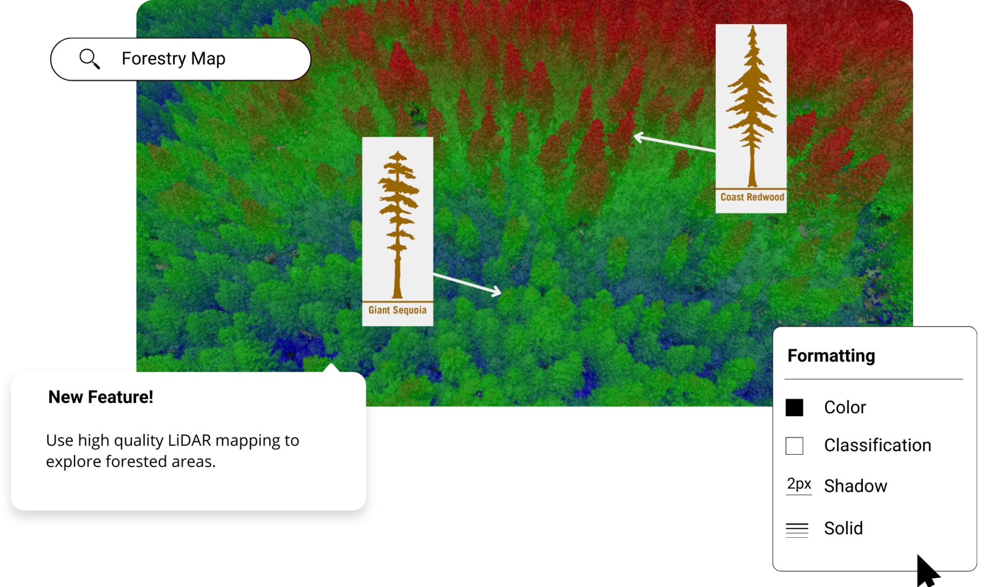
Create forest maps and figures in minutes using the best elevation data online, in the Equator platform. Share forest maps with others instantly.

High-Resolution Forest Mapping

Join other leading designers on Equator.

Equator Layers

What is Equator?

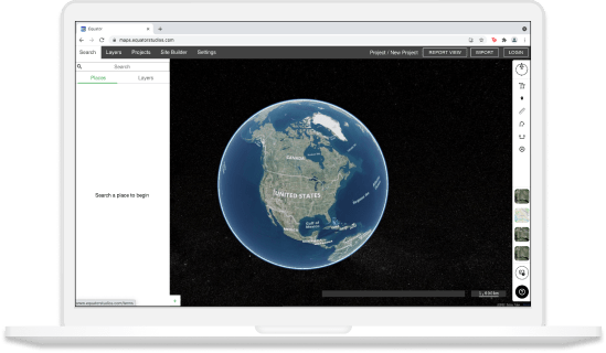
Equator is an online map-making software for civil engineers, architects, and designers. Equator includes thousands of built-in data sets, like LiDAR and DEMs and easy-to-use design and map making tools. Create accurate, professional maps in minutes!

Create a forest map in Equator

  • Navigate to your location of interest
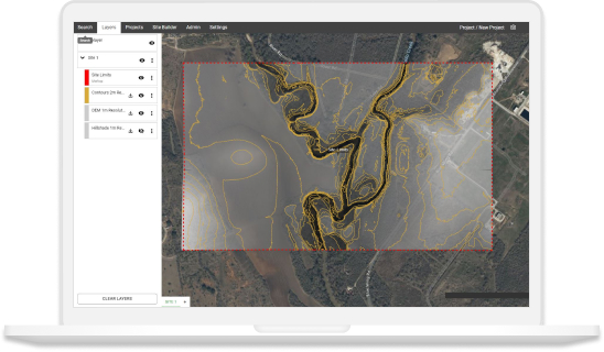
  • Add contours, LiDAR, or hillshades to your site

  • Add markups, icons and measurements to your forest map

  • Take detailed measurements of the site

  • Share your forest maps with others online or in print

Equator GIS CAD Software Integrations

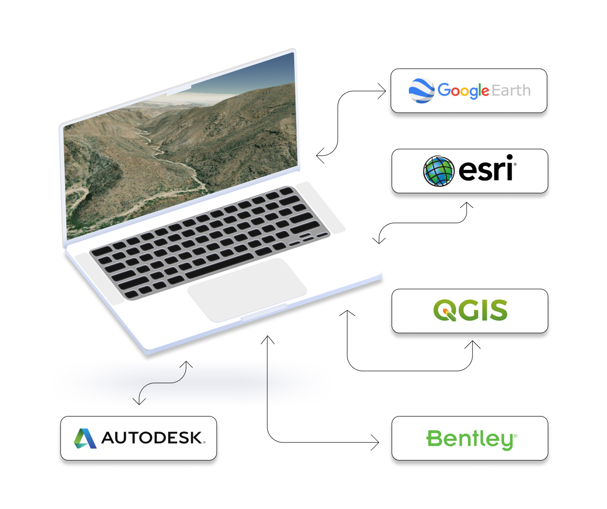
Integrate your map with other software

We’ve made it easy to integrate into your current workflow to get you up and running without friction.

Equator supports popular GIS and CAD data formats, so map layers like LiDAR can be easily exported to Civil 3D, ArcGIS, Google Earth, or other platforms.
How to Get Started

Step 1

Open Equator, a map-making platform that works in your browser.

Step 2

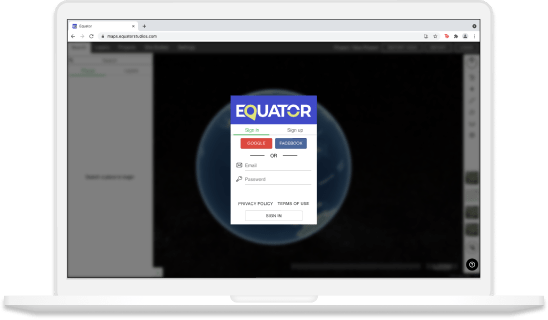
Create an account by signing up with your favorite email address.

Step 3

Use the built-in search engine and design tools to find elevation data and build your map.

Frequently Asked Questions

Forestry maps are created by professionals who work in the forestry industry. These maps show timberland, woodland, and other features of forests. They help professionals track changes over time and plan for the future. Students can also use forestry maps to study different types of forests and learn about how they are managed. Understanding forest maps helps us appreciate the natural world around us and plan for its conservation.

Forest maps are created to help us understand and manage our forests better. Usually, they show things like where different types of forests are located, how much forest is present in an area, and what kind of land forms are surrounding the forest. Furthermore, they provide general information of trees in the region, detailing the density of trees, age, composition etc. Forest maps also provide valuable information about environmental conditions such as climate, soil type, and water resources. Knowing this information can help us make decisions about things like which areas we want to protect and how best to use our forestry resources.

Forest maps are used by many people in different ways. Forest engineers use forest maps to plan and design forests, while students use forest maps to learn about the distribution and ecology of forest plants and animals. Foresters also use forest maps to aid in fire prevention and suppression. In addition, environmentalists and other individuals interested in the natural world use forest maps for land management purposes. Finally, mapmakers create forest maps for recreational users, such as hikers and outdoor enthusiasts. Each of these groups has their own specific needs that are met by forest mapping professionals. By understanding who creates and uses forest maps, we can gain a better appreciation for the important role they play in our society.

Forest maps are created by surveying an area and recording data about the location and size of trees. This data is then used to create a model of the forest. Forestry engineers use specialized software and spatial data to create these maps. They must take into account the terrain, geographic features, and vegetation of the forest.