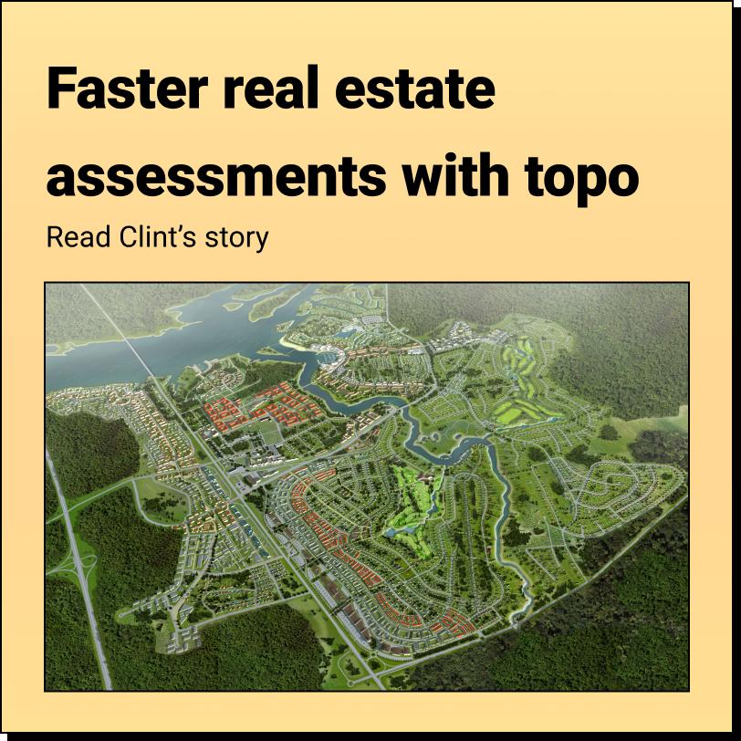
How Tom Accelerates Real Estate Development and saved $30,000 using Equator
About Tom: Director of Real Estate Development
Location: Kentucky
 Interview")

Tom’s Challenge: Finding Accurate and Timely Data
Tom works as the Director of Real Estate Development at an engineering consultancy in Kentucky. The engineering consultancy does everything from purchase negotiation, to building design to their own steel fabrication. As a civil engineer he’s involved at all stages in multiple projects.
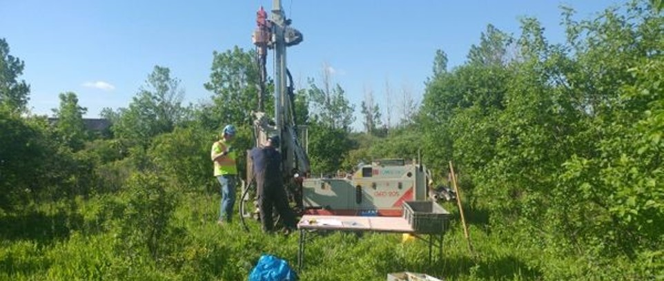
His biggest challenge is during the initial phases of design and obtaining accurate and timely data for his projects. This is particularly challenging when dealing with site development projects that require extensive surveying and data collection.
“Our clients draw a lot of money out to purchase the land. Now all of a sudden a stopwatch is clicking and instead of going tick tock, tick tock, it’s cha ching, cha ching, because of the interest being paid on that money. So, do you want to allow your project to sit for months in permitting or do you want to get a job permitted in just a few weeks and get it out? With Equator, we can get those permits in weeks, that’s just insane amount of savings.”
Solution: Instant Access to Accuracy that Fits Tom’s Workflow
Equator has helped Tom overcome this challenge by providing faster access to GIS data, allowing him to quickly gather information about potential project sites and create accurate plans without the need for extensive surveying. In particular, Tom benefits from the high-resolution LiDAR offered in Equator that he uses to build 3D surfaces in Civil 3D.


Result: Faster Permitting
From the moment a client purchases a property, it costs money for it to sit without any work happening. In the past, they would have had to schedule a surveyor weeks in advance to come to the property to do a full survey, with additional week after that to prepare drawings from their data. With topography data from Equator and other publicly available GIS data, Tom can create preliminary plans for the property and send them out for all the required permitting approvals – getting them back in a matter of weeks as opposed to months.
Tom’s $30,000 Savings on a Force Main Project
Tom was working on a residential force main project and initially planned around what seemed like a positive slope on the site after a brief site visit.
However, after checking the topography in Equator and being able to get a sense of the surface without vegetation, he ended up rerouting and increasing the length of the pipe by 300 ft. As a result, he ended up lower than the pump elevation, which allowed him to downsize the pump and set the tanks where he wanted them. Using Equator helped him save time and money by giving him the best data possible without a survey and allowing him to downsize the pump. The redesign also impacted fewer neighbors, required fewer road crossings and caused no sidewalk damage – saving over $30,000 in restoration costs!


“For moving a couple hundred feet of pipe, I’ve got a better design and cut the project costs nearly in half – and that was all from right here at my desk!
Tom, Director of Real Estate Development
Avoid project delays with Equator
Stop wasting hours scouring the internet for quality data. Engineers that use Equator get their projects off the ground faster, cut their downtime, and close more business.
10x
Faster data sourcing
20K+
Users around the world