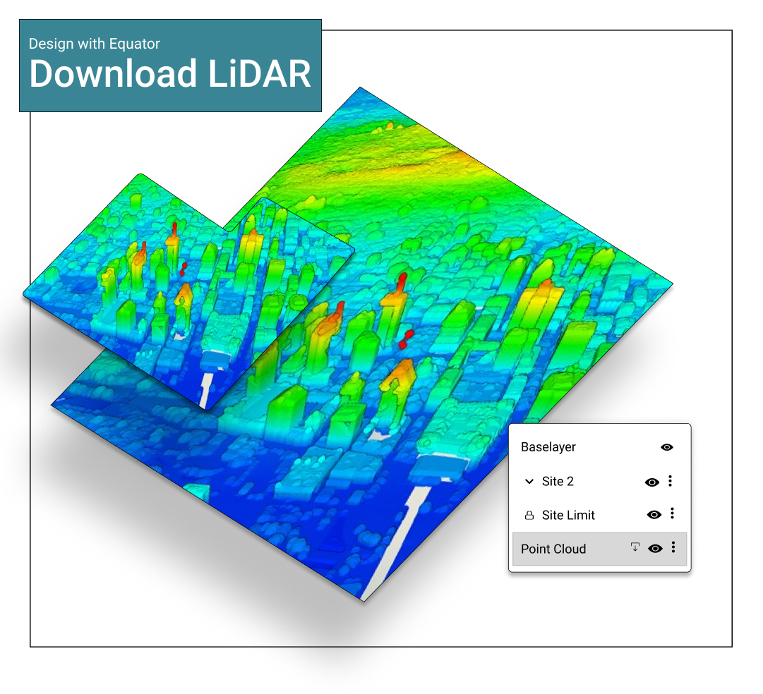
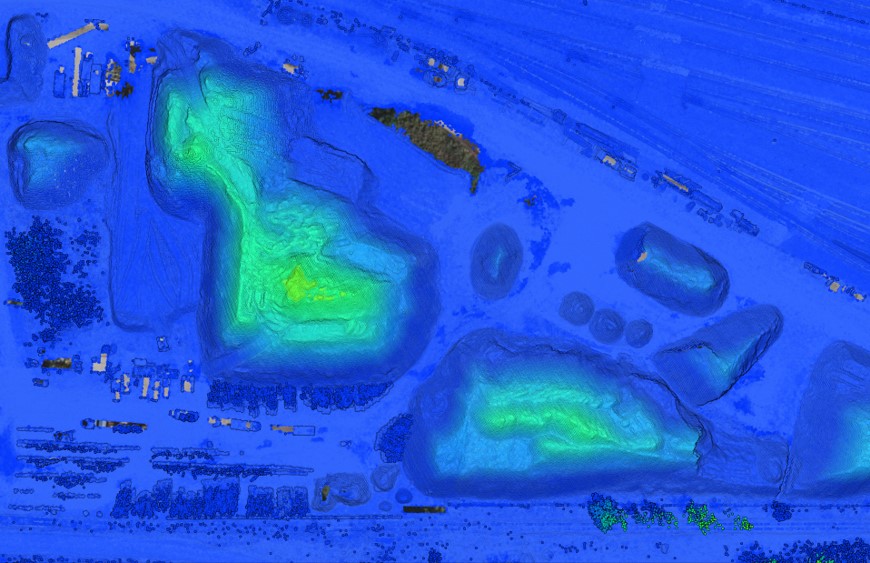
Is USGS LiDAR a DEM?
USGS LiDAR point clouds have the structures and vegetation stripped away to produce a DEM. Using the Equator mapping platform you can get access to USGS DEMs easily through the Data menu.
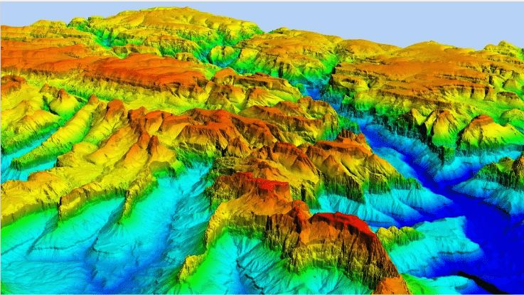
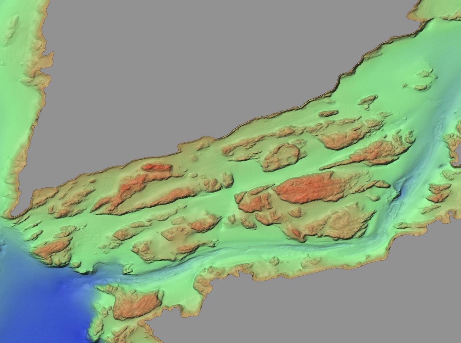
Does the USGS Earth Explorer include LiDAR?
No, but the USGS Earth Explorer does include a variety of other data such as DEMs, land cover maps, radar and vegetation monitoring maps. USGS makes their LiDAR available through their LidarExplorer.
How to download LiDAR data from USGS
Go to USGS LidarExplorer and follow the steps below:
- Check “Show where Lidar is available
- Define your area of interest by holding down the Ctrl key, clicking and dragging to select an area
- In the right menu panel, open the “Lidar within AOI” drop-down and click on the “LiDAR Point Cloud (LPC)” folder
- Select download the individual LiDAR (LAS) files that you need from the folder
Visit our guide to get more detailed instructions.
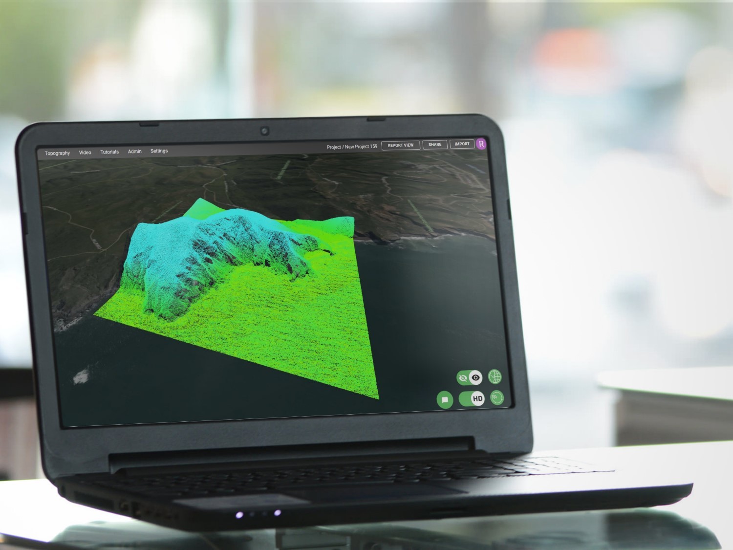
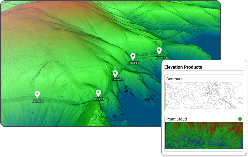
How can Equator help me get LiDAR point clouds and DEMs?
Equator is a mapping platform that makes it quick and easy to get the highest quality data available on Earth. By selecting a location you will have access to a variety of data products such as LiDAR point clouds, 3D surfaces, contours, hillshades and more. Access all of this for free through the Data menu.
