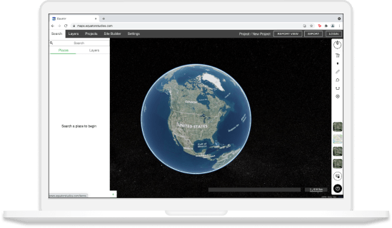
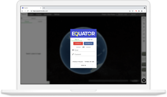
Join other leading designers on Equator


Integrate your map with other software
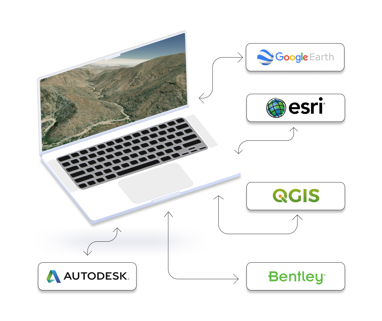
We’ve made it easy to integrate into your current workflow to get you up and running without friction.
Equator supports popular GIS and CAD data formats, so map layers like LiDAR can be easily exported to Civil 3D, ArcGIS, Google Earth, or other platforms.
How to Get Started
Frequently Asked Questions
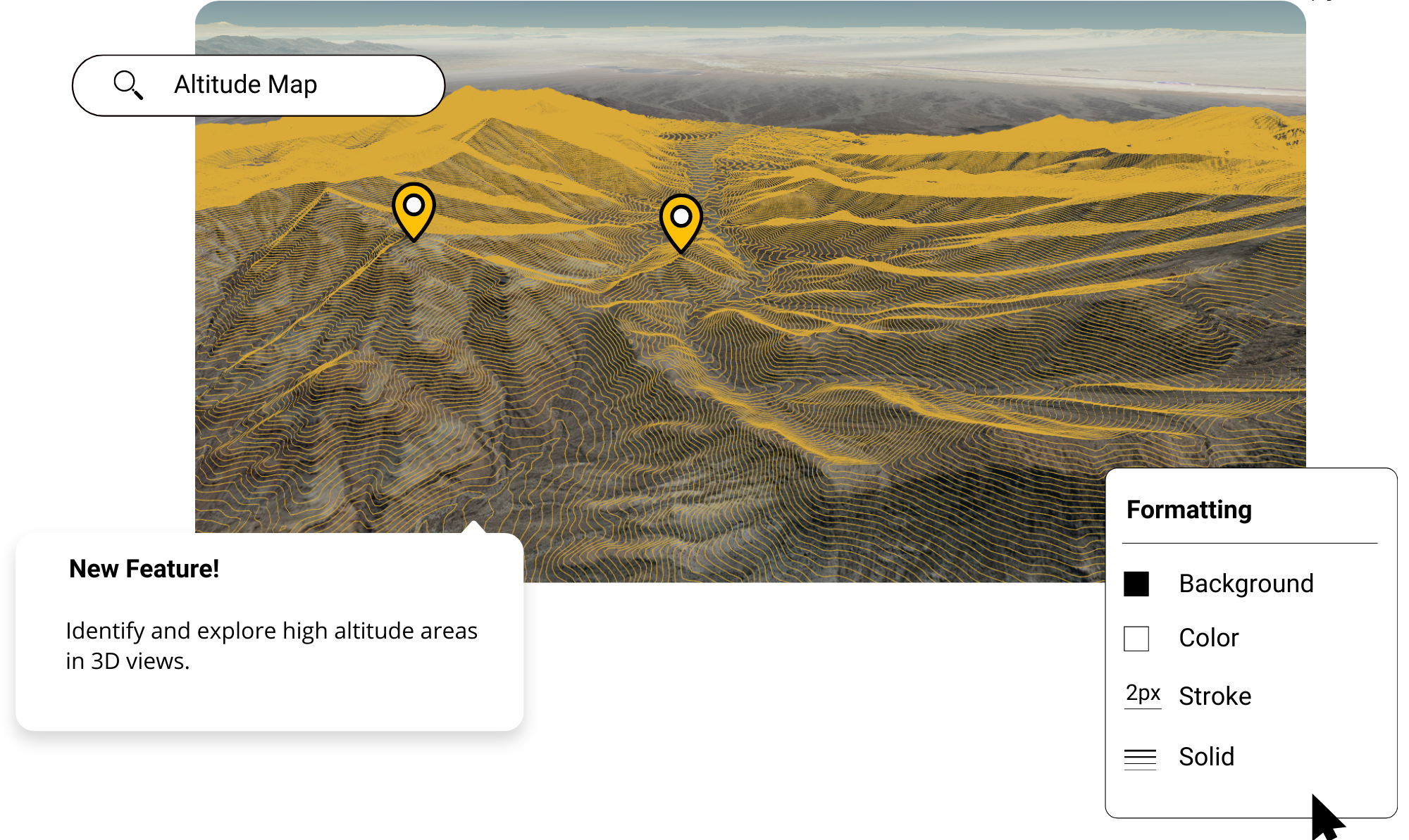
An altitude map is a representation of the Earth’s surface that shows the elevation of each point. They are used to study features like mountains, canyons, and valleys, as well as to track changes in land height over time. Altitude maps can be created using data from satellites or ground-level surveys. The resulting map can be used to create three-dimensional models of the terrain or visualize how certain aspects of topography affect things like air flow and climate.
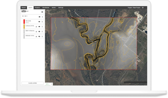
Altitude maps can be made in Equator using our site builder and design tools to customize and export the map for use elsewhere. Click here to try Equator for free.
Altitude maps can vary in accuracy. Some maps used can have a vertical accuracy of up to 10cm.
Altitude maps show the elevation of an area, which can be really useful for things like planning hikes, figuring out where water will flow during a flood, or even just getting a better understanding of the terrain in your area. This information can be used for a variety of applications, including navigation, land management, and disaster relief.