Creating an Annotation
Rebecca Swabey2024-03-25T06:27:00-04:00User Guide / Creating an annotation Creating
User Guide / Creating an annotation Creating
User Guide / Before starting Getting Started
User Guide / Importing data Importing
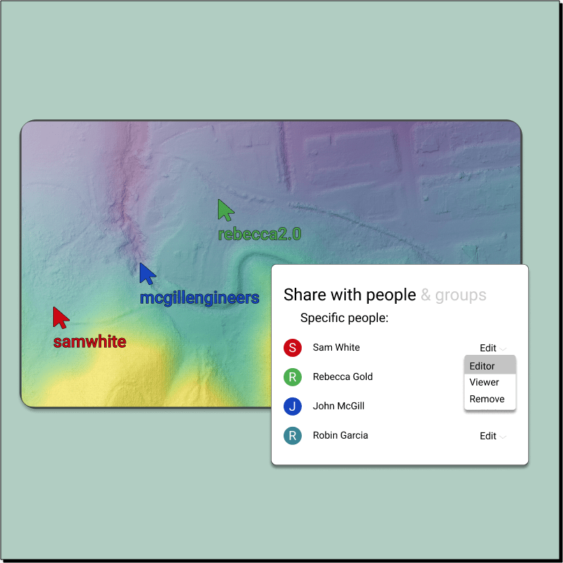
User Guide / Sharing Maps Sharing Maps in
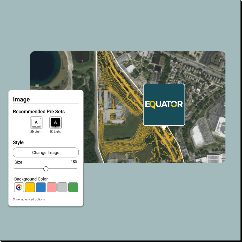
User Guide / Adding Images Adding Images to
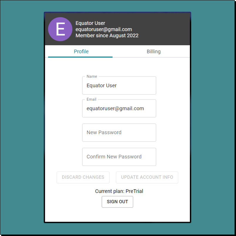
User Guide / Changing account settings Changing account
User Guide / Import STL into Blender