Skip the Survey - Download Survey Data in Minutes
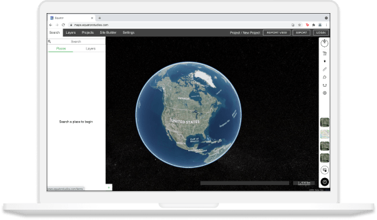
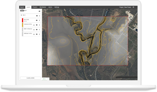
Whether you have missed a spot or weather conditions aren’t ideal, there is an alternative to heading back to site. Find, view, and download high-quality survey data online in minutes. Equator is an online data platform that includes millions of hectares of built-in LiDAR point cloud data that helps surveyors and engineers fill in the those missing elevations and get work done faster.
Note: Data can only be downloaded to desktop. Let us know what data you are looking for by clicking the button below and sending us a quick email.

Join other leading designers on Equator.


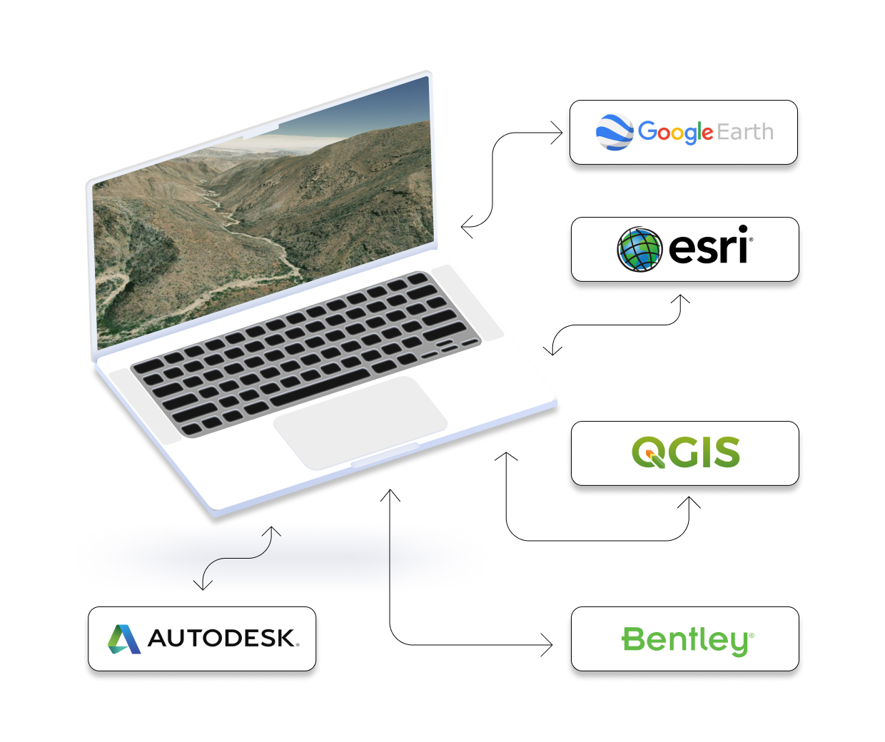
Integrate your map with other software
We’ve made it easy to integrate into your current workflow to get you up and running without friction.
Equator supports popular GIS and CAD data formats, so map layers like LiDAR can be easily exported to Civil 3D, ArcGIS, Google Earth, or other platforms.


