Features of a Topographic Map
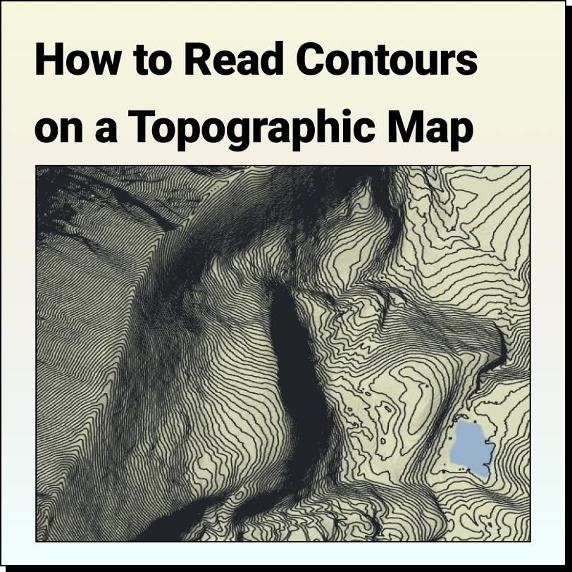
Lindsay2024-04-24T13:44:43-04:00Features of a Topographic Map Topographic maps use contour lines to show different
Features of a Topographic Map Topographic maps use contour lines to show different
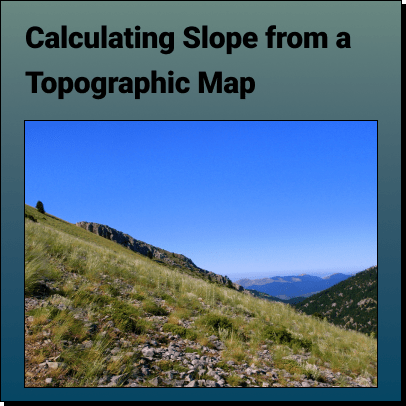
How to Calculate the Slope on a Topographic Map using Contour Lines Use
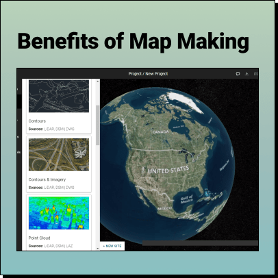
The Benefits of Map Making Maps have been an essential tool for
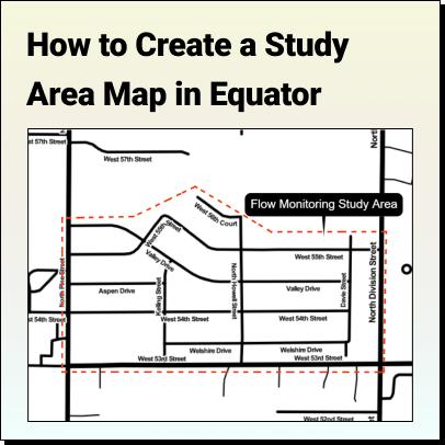
Tutorial: How to Create a Study Area Map Learn how to create a
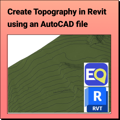
Create Topography in Revit Learn how to create a 3D Terrain in
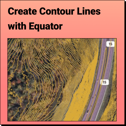
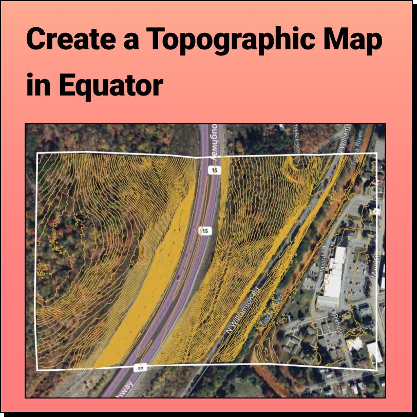
How to View Contour Lines With Equator, accurate contour lines can
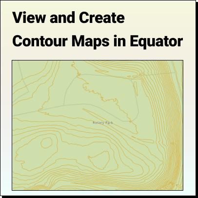
Create and View a Contour Map With Equator, accurate contours can