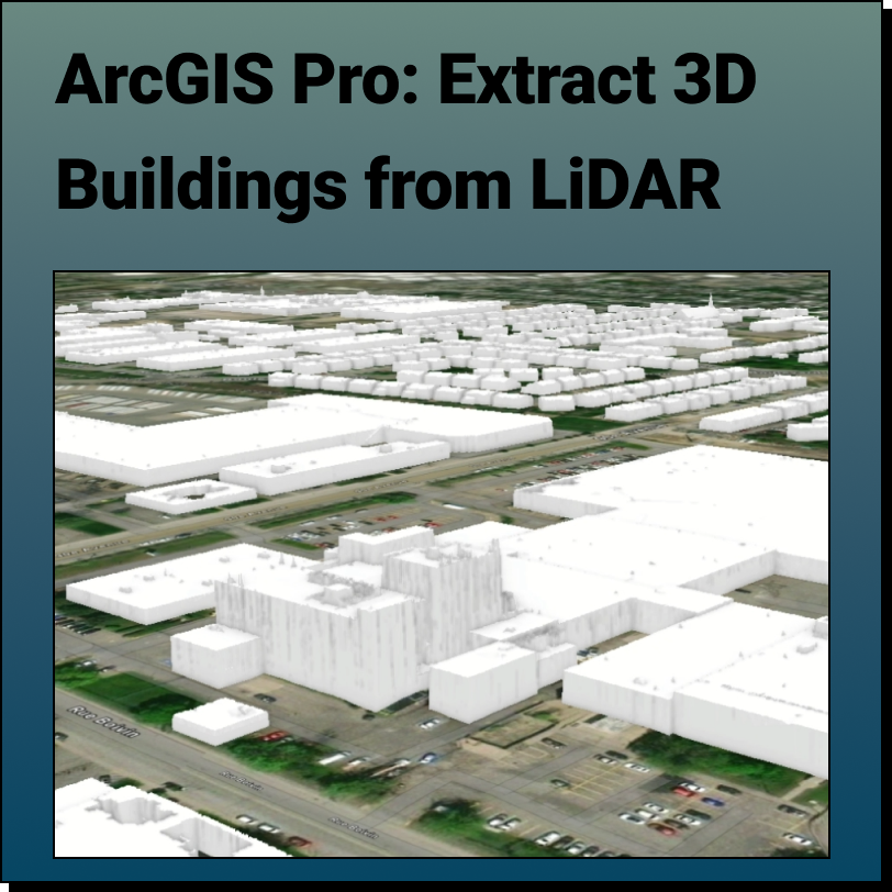
Extract 3D Buildings from LiDAR Data in ArcGIS Pro
Lindsay2024-04-24T13:40:38-04:00Extract 3D Buildings from LiDAR Data in ArcGIS Pro This Equator and ArcGIS Pro
Extract 3D Buildings from LiDAR Data in ArcGIS Pro This Equator and ArcGIS Pro
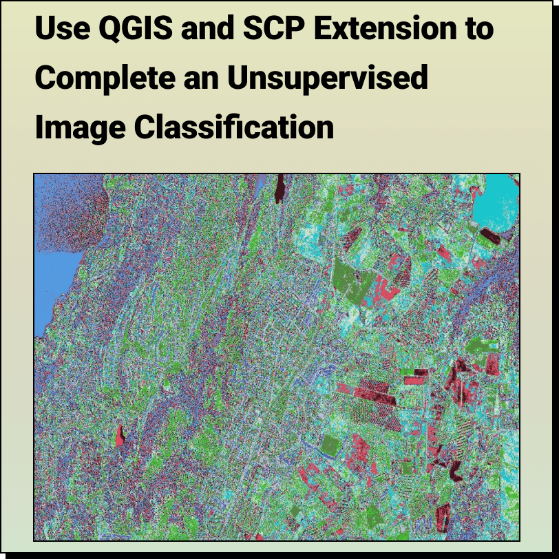
How to Complete an: Unsupervised Image Classification with QGIS and SCP Extension
Get Topography for QGIS with Equator Create a 2D contours or 3D terrain
How to Calculate the Slope on a Topographic Map using Contour Lines Use
GIS for Transportation Introduction GIS, or geographic information systems, is a powerful tool
Get Topography for Manifold GIS with Equator Create a 2D contours or 3D
Get Topography for ArcGIS with Equator Create a 2D contours or 3D terrain
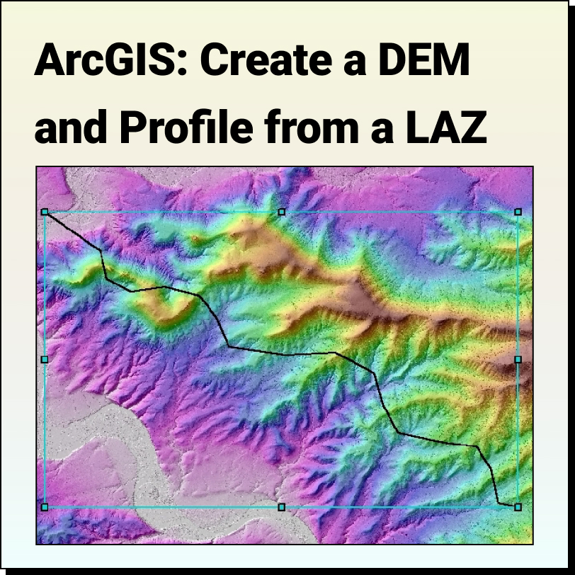
Tutorial: Create a DEM and Profile from an LAS File in ESRI ArcGIS Map