Creating a Mesh from Point Clouds in MicroStation
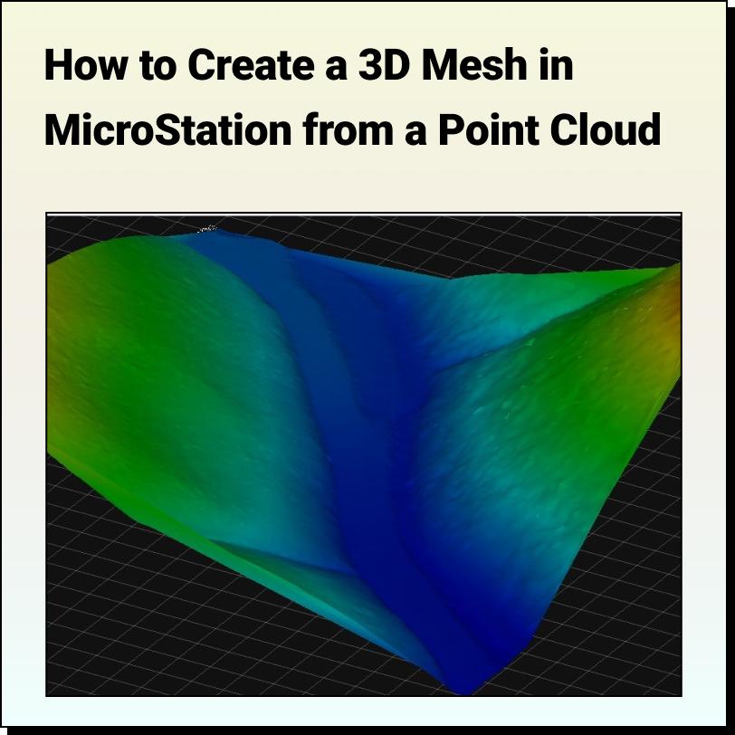
Lindsay2024-04-24T13:41:06-04:00Tutorial: Creating a 3D Mesh from a Point Cloud in Bentley MicroStation In
Tutorial: Creating a 3D Mesh from a Point Cloud in Bentley MicroStation In
Optimizing Google Chrome for Equator By default, some computers are not set up to
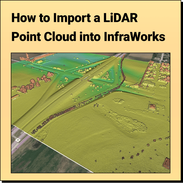
Tutorial: Import Your Point Cloud into InfraWorks Learn how to bring your LiDAR
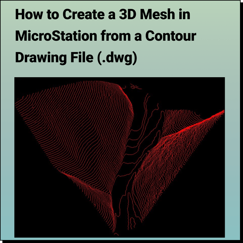
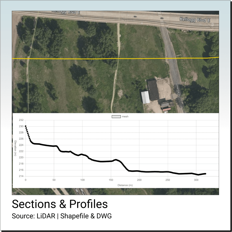
Tutorial: Creating a 3D Mesh from a Contour Drawing in Bentley MicroStation In
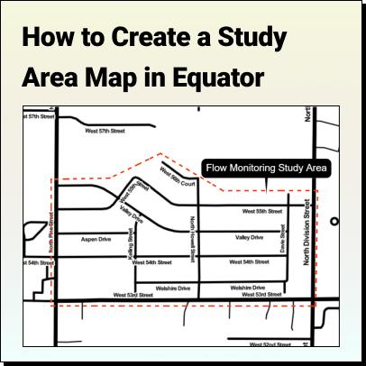
Tutorial: How to Create a Study Area Map Learn how to create a
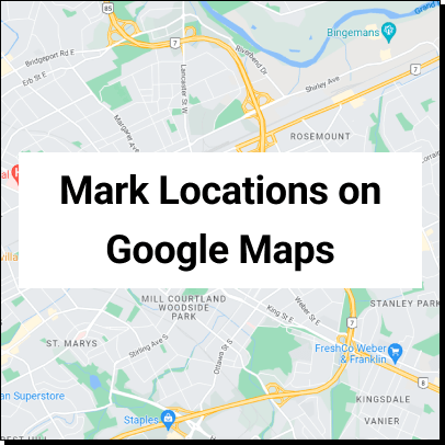
Mark Locations on Google Maps How to mark locations on
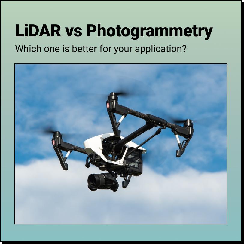
Drone LiDAR vs. Photogrammetry Which one is better? The answer to that depends
Equator Examples You can access lots of data in Equator, make a
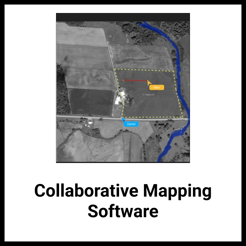
Collaborative Mapping Software The world's leading mapping software for teams Collaborate Now
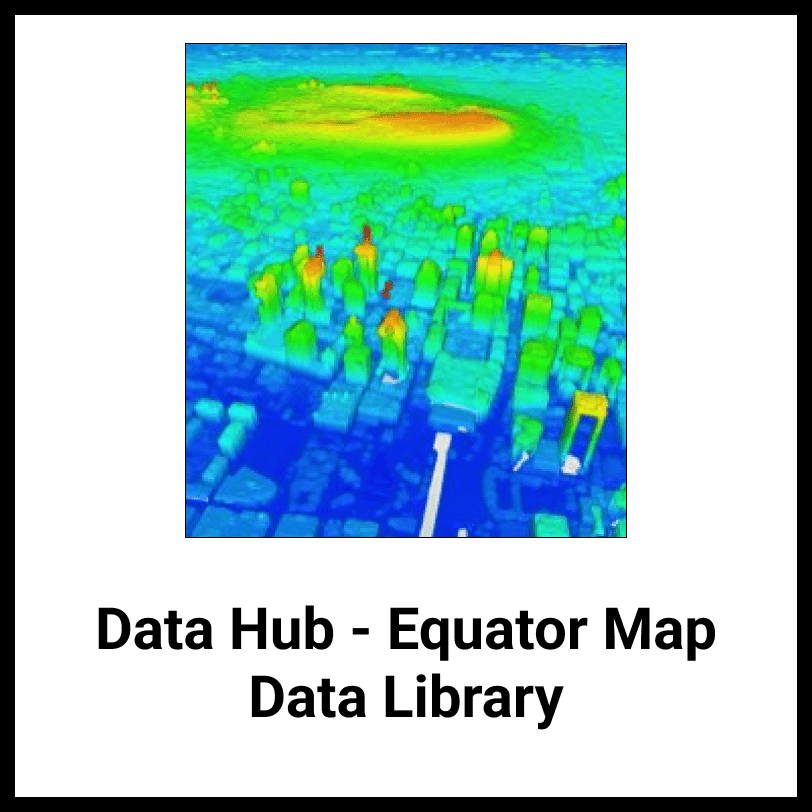
Data Hub The world's leading searchable data library Search Data Now