Tutorial: Import Your Point Cloud into InfraWorks
Learn how to bring your LiDAR point cloud (.laz) into AutoDesk InfraWorks in a few easy steps.
Step 1: Source Your LiDAR Point Cloud
If you don’t have a .laz file already, you can easily download it from Equator.
Step 2: Import Your Point Cloud into InfraWorks

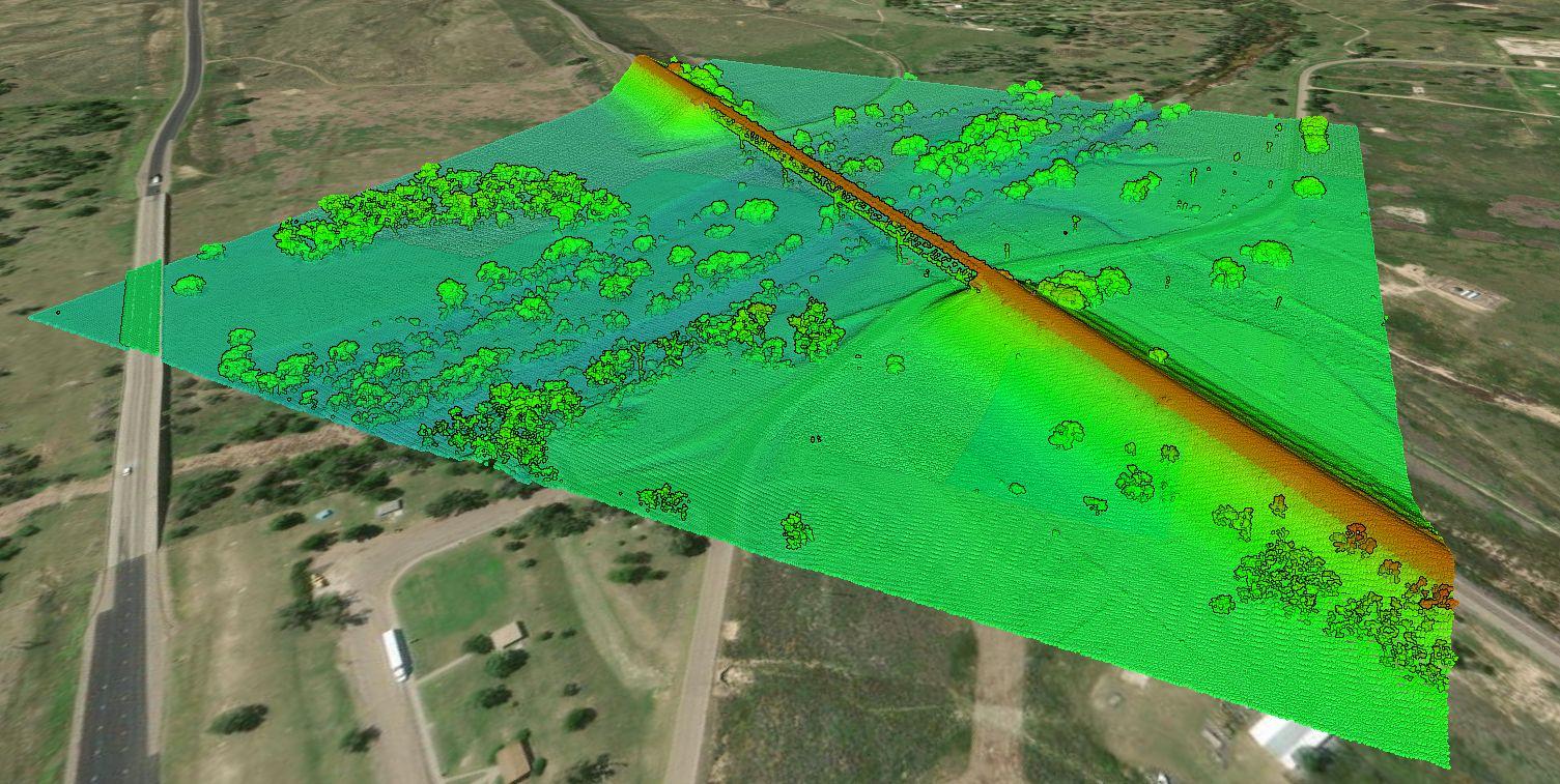
LiDAR Point Cloud
Step 1: Source Your Point Cloud
If you already have a LiDAR point cloud, go ahead and jump down to Step 2.
If you are looking for a LiDAR point cloud, use Equator to quickly and easily get topographic data. Just follow the steps below:
- Sign-in or create an account in Equator
- Search for your site location by using the search bar or zooming in
- Create a site boundary using the +NEW SITE button. Select from the default rectangle options or create your own boundary. Don’t forget to name your site!
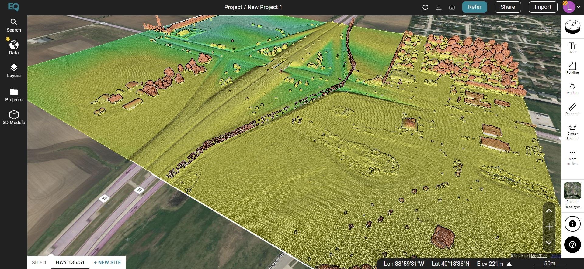
- Under the Data tab, select Point Cloud. Choose your parameters and select Generate.
- Your point cloud is stored in the Layers tab under your site.
- To download, select the download button (down arrow). Choose your parameters and select ‘Process’.
- The .laz file of your site will appear in your Downloads folder (or whichever folder you have directed your downloads to go).

LiDAR Point Cloud in Equator
Step 2: Import Your Point Cloud into InfraWorks
To import your LiDAR point cloud (.laz) into Infraworks, open InfraWorks and follow the steps below:
- When you set up your InfraWorks file, make sure the coordinate system is correct and your Equator download and InfraWorks file have the same coordinate system.
- Once your new project is opened, select Manage > Content > Data Sources
- With the Data Sources Panel open, select Add File Data Source menu. Scroll down and select Point Cloud
- Navigate to the folder where files are stored and select the point cloud file. Change the file type to .laz and select your point cloud. Click open.
- Set your source and target coordinate system.
- The point cloud will be converted to an .rcp file. You can save this file in the same location as your .laz file or choose a new location.


