What is a LiDAR Point Cloud?
What is it:
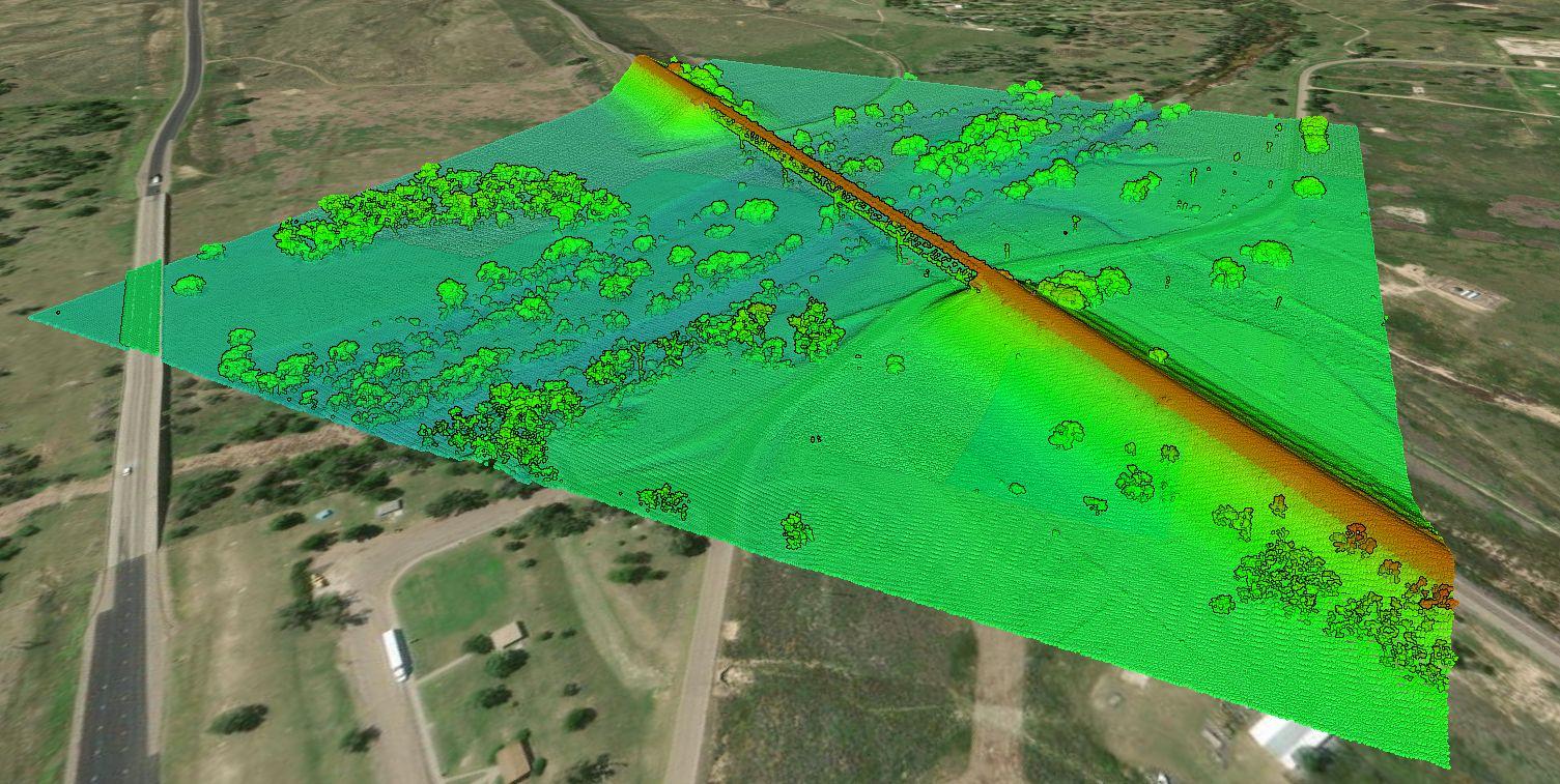
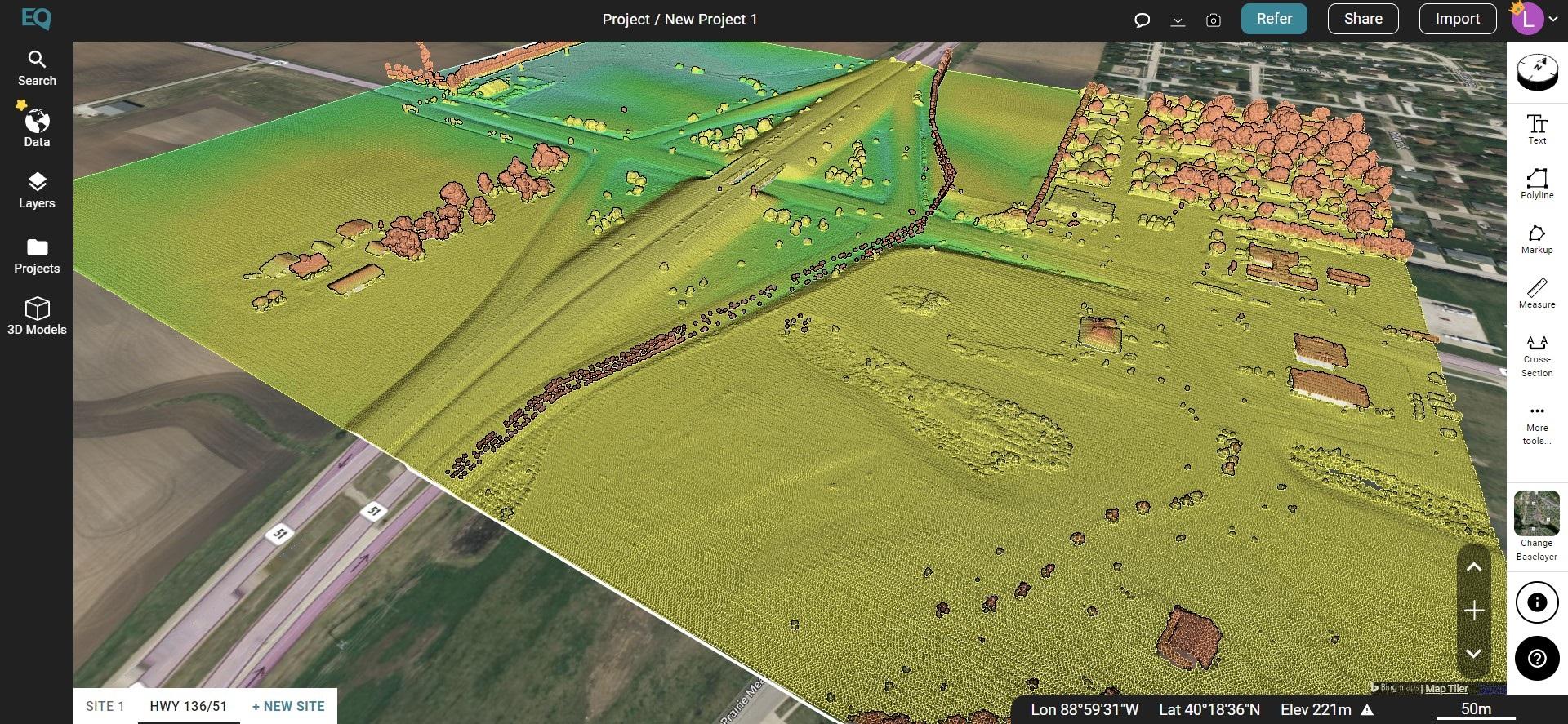
A LiDAR (Light Detection and Ranging) point cloud is a collection of data points in three-dimensional space that represents the precise locations of objects and surfaces within the scanned area. LiDAR technology uses laser pulses to measure distances to objects or surfaces. It can do so at such a rapid rate that it generates a large number of data points, thus creating a point cloud. These data points are often referred to as “points” or “returns.”
How it Works:
- Laser Emission: A LiDAR sensor emits laser pulses toward the target area.
- Reflection: When the laser pulse hits an object or surface, it reflects some of the light back to the LiDAR sensor.
- Distance Measurement: The LiDAR sensor measures the time it takes for the laser pulse to return. Since the speed of light is constant, this time measurement allows the LiDAR sensor to calculate the distance between itself and the object or surface.
- Multiple Measurements: LiDAR sensors emit many laser pulses per second and record the distances to multiple points on objects or surfaces within the field of view. This results in a dense collection of data points.
These data points are typically represented as (x, y, z) coordinates in a three-dimensional space, where:
x represents the horizontal position (left-right)
y represents the horizontal position (forward-backward)
z represents the vertical position (up-down)
Applications:
- Topographic Mapping: LiDAR point clouds are used to create highly detailed and accurate topographic maps of the Earth’s surface.
- Environmental Monitoring: LiDAR data is used to monitor changes in the environment, such as deforestation, land erosion, and the growth of vegetation.
- Urban Planning: LiDAR data helps city planners and architects create detailed 3D models of urban environments.
- Autonomous Vehicles: LiDAR point clouds are essential for self-driving cars and other autonomous vehicles to detect and navigate around objects and obstacles.
- Forestry and Agriculture: LiDAR is used in forest management and precision agriculture to assess tree heights, crop health, and more.


