How to Perform a Drone Land Survey?
A drone land survey involves using an unmanned aerial vehicle (UAV) or drone to collect data about the land surface for the purpose of creating maps and models. Here is a general outline of the steps involved in performing a drone land survey:
1. Plan the survey: Determine the area to be surveyed, the type of data to be collected, and the desired accuracy of the survey.
2. Obtain necessary approvals: Depending on the location and purpose of the survey, it may be necessary to obtain permission or clearance from regulatory agencies or property owners.
3. Choose the right equipment: Select a drone that is suitable for the survey, as well as any sensors or payloads (such as cameras or lidar sensors) that will be needed to collect the desired data.
4. Perform a site assessment: Inspect the survey area to identify any potential safety hazards or other issues that may impact the survey.
5. Set up the base station: If using RTK GPS, set up a base station in a location with good satellite visibility and establish a connection to the drone.
6. Fly the drone: Follow the flight plan to collect the desired data, using the drone’s sensors and payloads to gather information about the land surface.
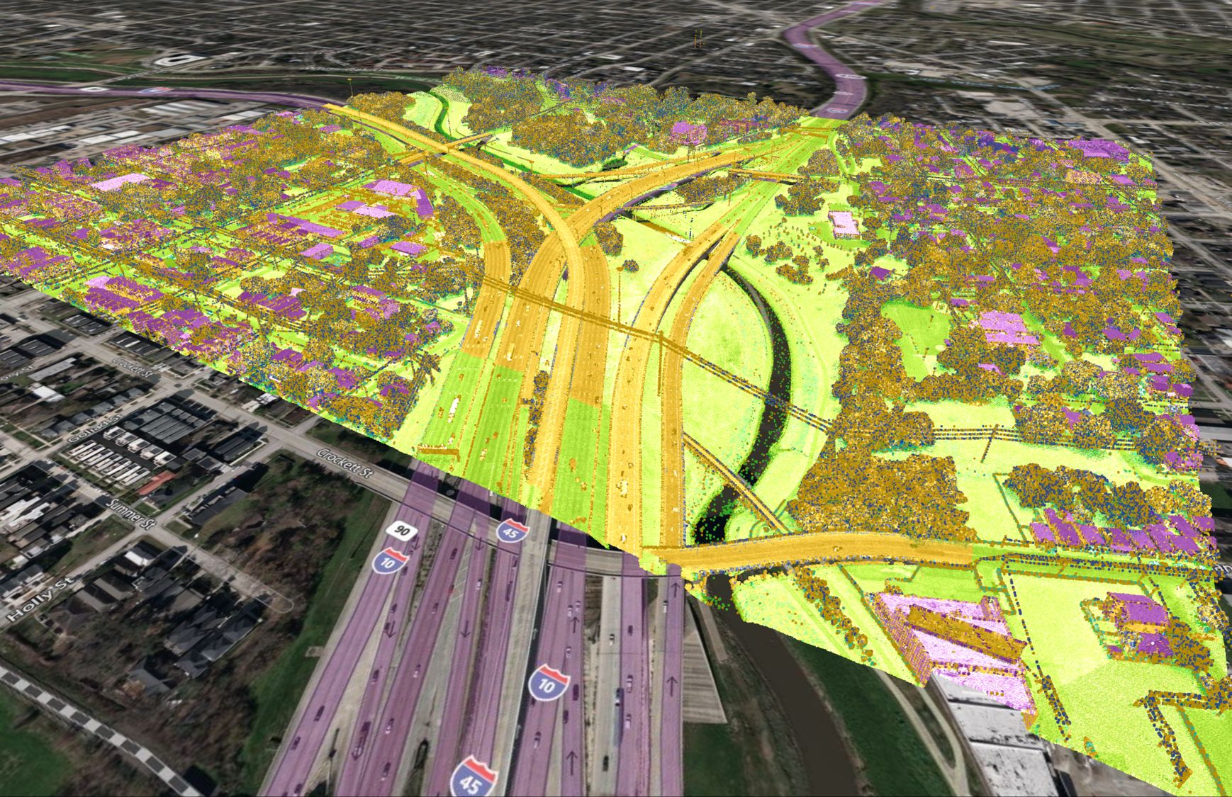
7. Process and analyze the data: Use specialized software to process and analyze the data collected by the drone, creating maps, models, and other products as needed.
8. Report the results: Document the results of the survey and present them in a clear and concise manner, including any recommendations or conclusions.
How to Obtain Necessary Approvals for Drone Survey?
The process for obtaining necessary approvals for a survey will depend on the location and purpose of the survey, as well as the applicable laws and regulations. Here are some general steps that may be involved in obtaining approvals for a survey:
1. Determine the requirements: Research the laws and regulations that apply to the survey, including any requirements for permits or clearance from regulatory agencies.
2. Identify the responsible authorities: Determine which government agencies or other entities have jurisdiction over the survey area and are responsible for issuing approvals.
3. Submit an application: Follow the requirements of the responsible authorities to submit an application for approval of the survey. The application may need to include information about the purpose of the survey, the equipment to be used, and any potential impacts on the environment or public safety.
4. Obtain any necessary permits: If the survey requires a permit, such as a building permit or a permit to access private property, follow the necessary steps to obtain the permit.
5. Negotiate any necessary agreements: If the survey will involve access to private property or other sensitive areas, it may be necessary to negotiate agreements with the relevant parties to ensure that the survey can be conducted smoothly.
6. Wait for approval: Once the application and any necessary permits or agreements have been submitted, it may take some time for the responsible authorities to review the materials and issue any approvals that are required.
7. Comply with any conditions: If the survey is approved, make sure to comply with any conditions that are attached to the approval, such as requirements for insurance or liability coverage.
What are the Best Drones for Land Surveying?
Here are a few examples of drones that are commonly used for land surveying:
1. DJI Phantom 4 RTK: This drone is equipped with RTK GPS and a high-resolution camera, making it suitable for a variety of surveying applications.
2. DJI Matrice 600 RTK: This professional-grade drone is equipped with RTK GPS and can be outfitted with a variety of sensors and payloads, including lidar and thermal cameras.
3. Parrot Anafi USA: This compact drone is equipped with RTK GPS and a high-resolution camera, making it suitable for surveying small to medium-sized areas.
4. senseFly eBee X: This drone is equipped with RTK GPS and a high-resolution camera, and is designed specifically for surveying and mapping applications.
5. DJI Phantom 4 Pro V2.0: This drone is equipped with a high-resolution camera and advanced imaging technology, making it suitable for creating detailed maps and 3D models.
It is important to note that the best drone for land surveying will depend on the specific requirements of the survey, including the size of the area to be surveyed, the accuracy needed, and the type of data to be collected.
Costs Associated with Drone Surveying
The cost of a drone survey will depend on a variety of factors, including the size of the area to be surveyed, the complexity of the survey, the type of data to be collected, and the equipment and personnel needed to perform the survey. In general, smaller surveys or those that require fewer specialized sensors or payloads may be less expensive, while larger or more complex surveys may be more costly.
Here are a few examples of cost factors that may be involved in a drone survey:
1. Drone and equipment rental or purchase: The cost of renting or purchasing the drone and any necessary sensors or payloads can be a significant factor in the overall cost of the survey.
2. Personnel: The cost of hiring surveyors or other personnel to operate the drone and process the data can also be a significant factor.
3. Travel: If the survey requires travel to the survey site, the cost of transportation and accommodations may need to be considered.
4. Data processing and analysis: The cost of software and other tools needed to process and analyze the data collected by the drone can also be a factor.
It is difficult to provide an exact cost estimate for a drone survey without more information about the specific requirements of the survey. In general, it is a good idea to obtain quotes from multiple companies to compare costs and ensure that you are getting the best value for your budget.


