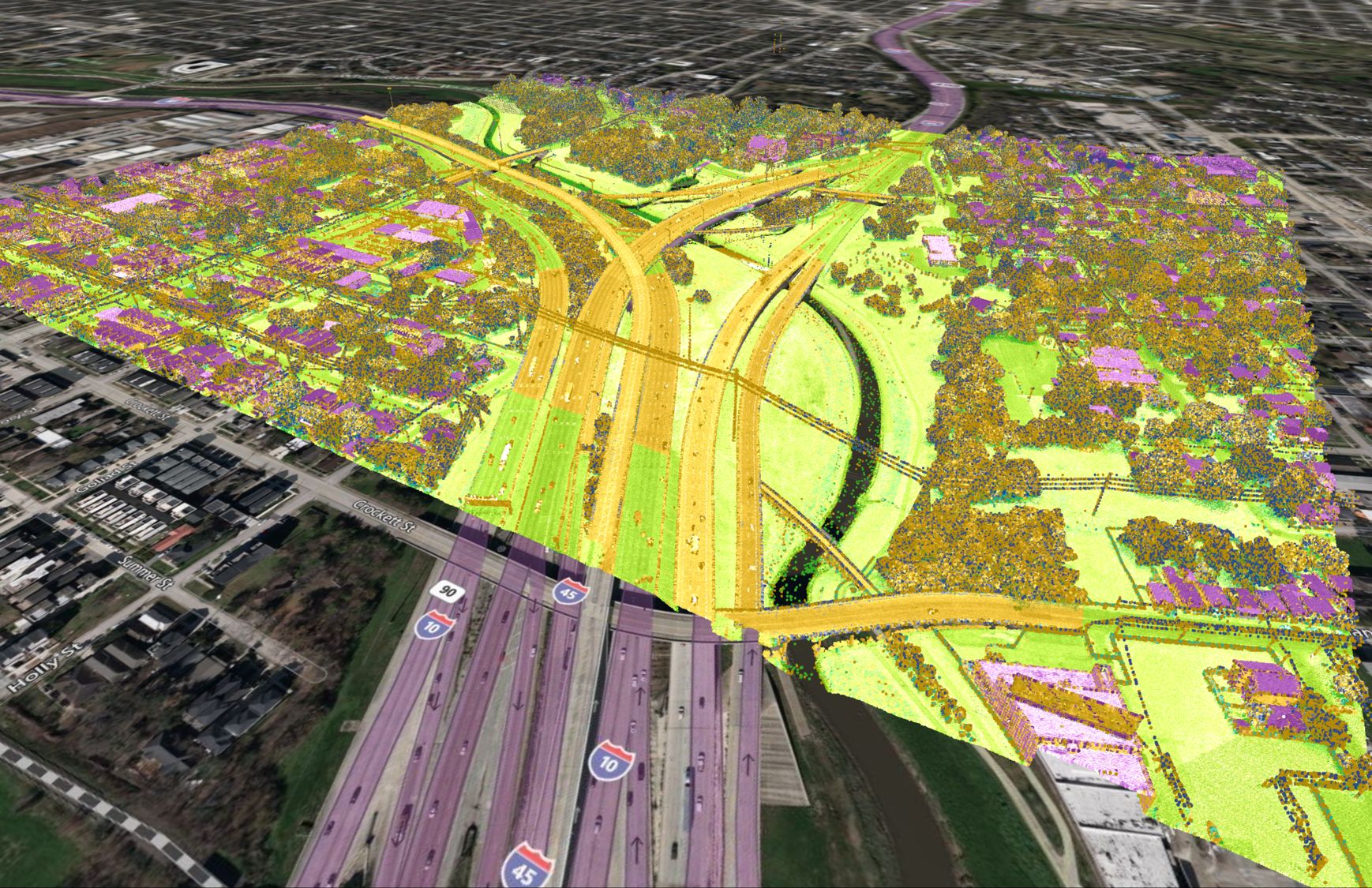
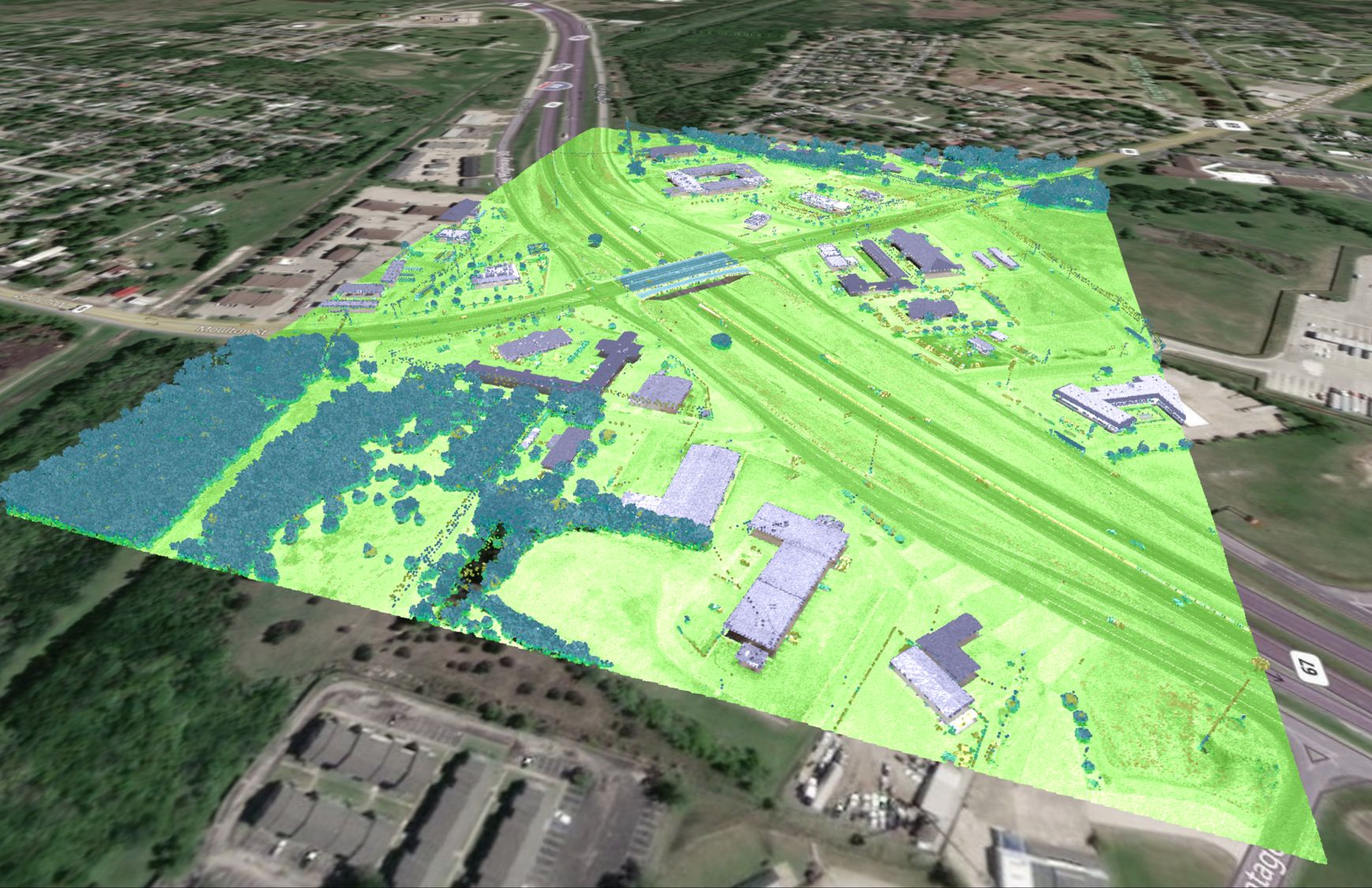
Where does the data come from?
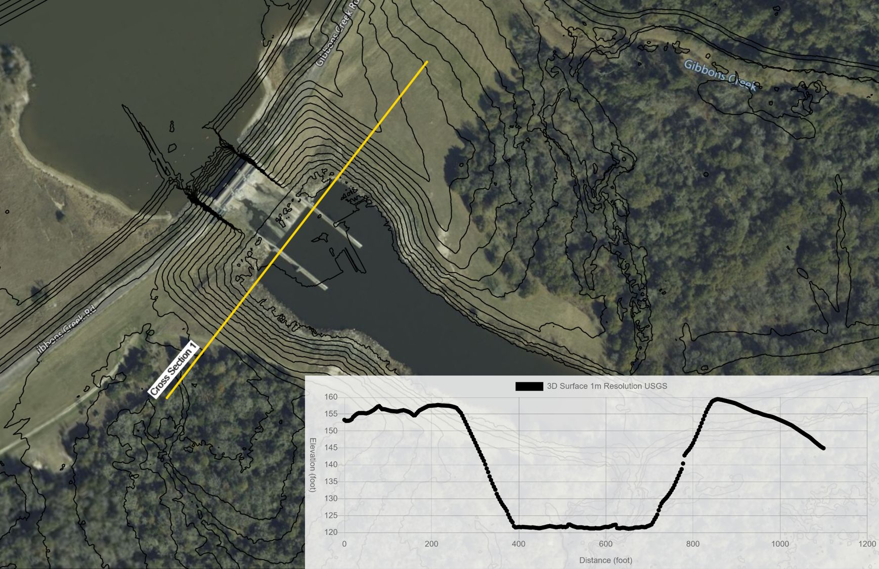
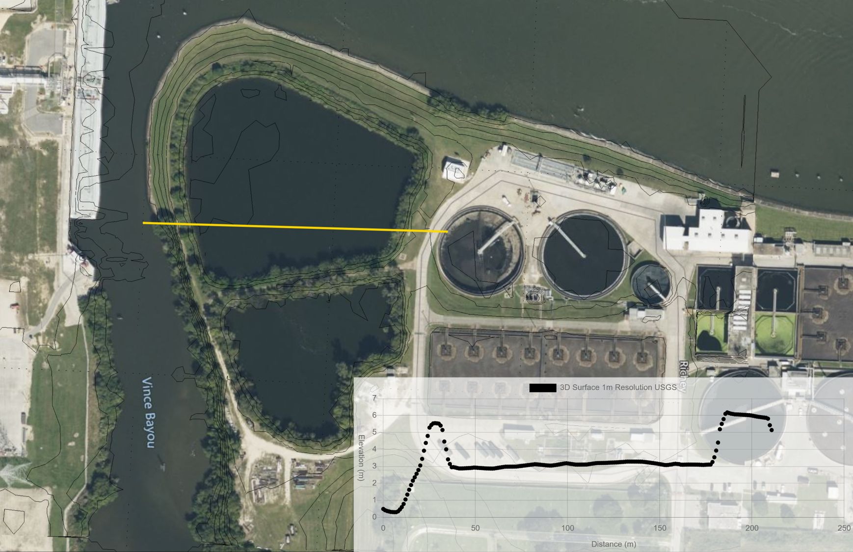
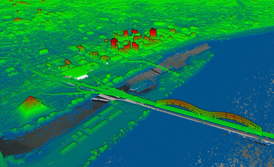
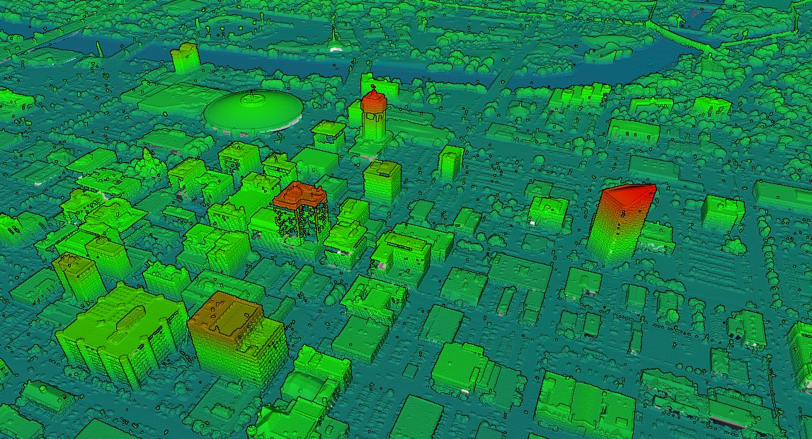
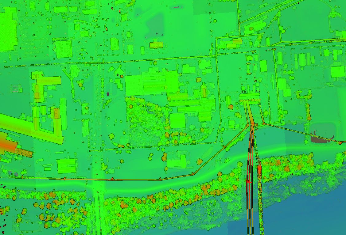
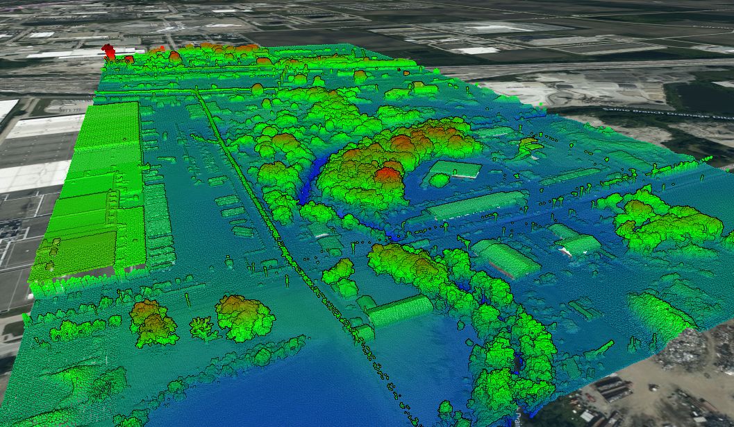
The United States Geological Survey (USGS), specifically their 3D Elevation Program (3DEP) manages the nations public LiDAR dataset. You can read more about the 3DEP here. In general, the built-in point clouds are sourced from a library of airborne LiDAR surveys that are managed by the USGS, and connected to Equator for ease of access.
Why should I use Equator to access the USGS LiDAR data set?
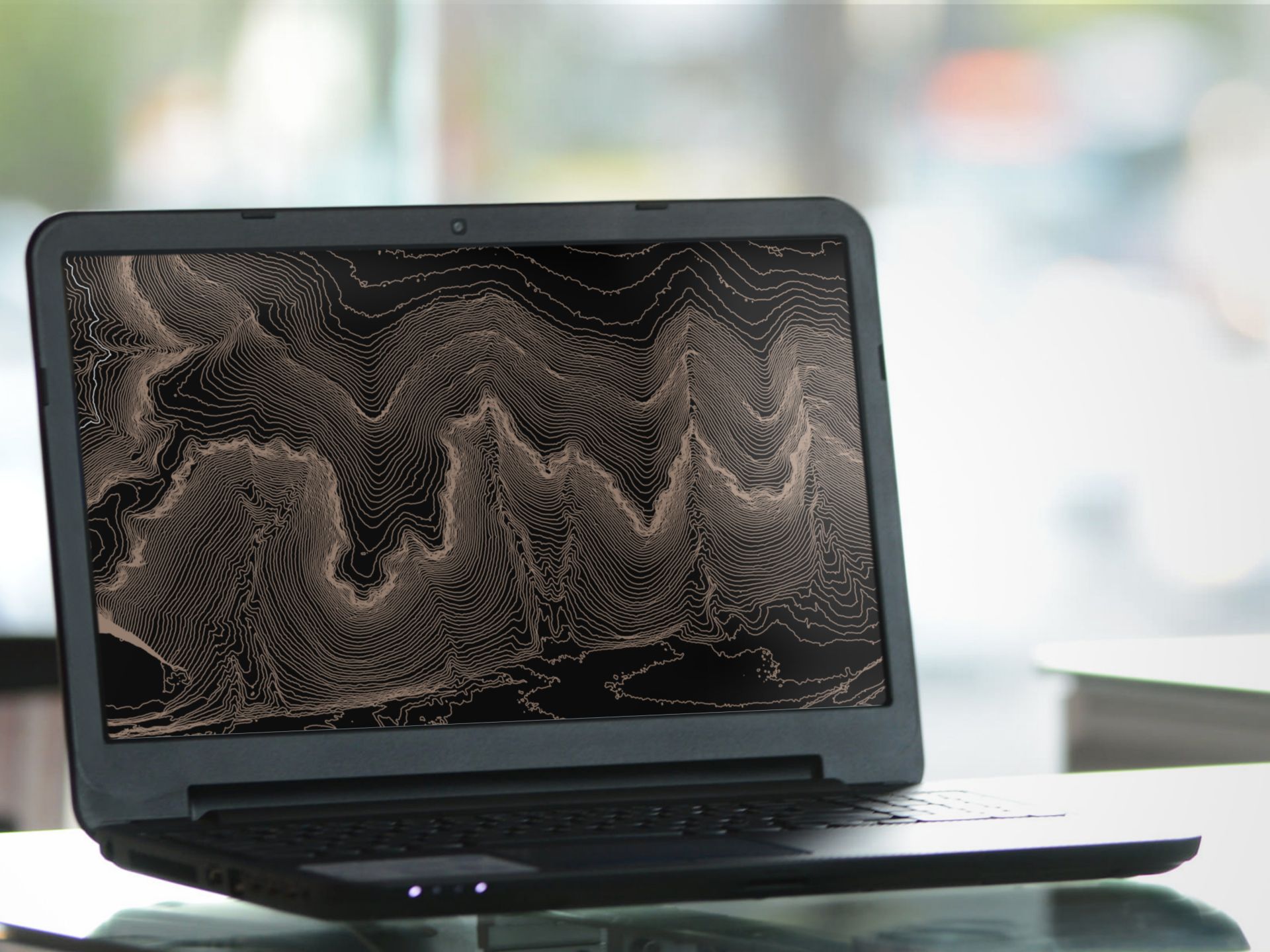
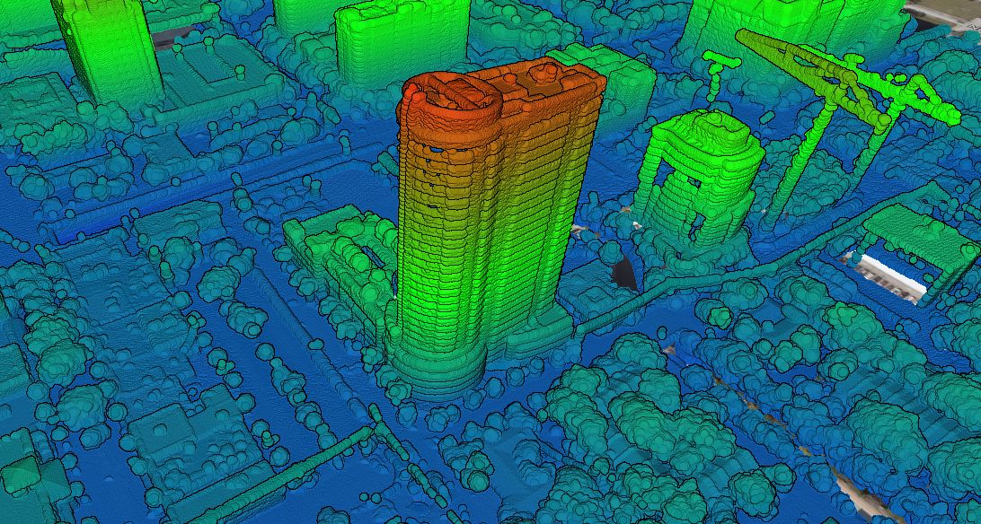
Equator allows users to access local LiDAR surveys to the best available resolution. Experience 3D topography in high-resolution, unlike never before.
