LiDAR Data Processing
Introduction
LiDAR (Light Detection and Ranging) is a remote sensing technology that uses lasers to measure distances and generate high-resolution 3D maps of the Earth’s surface. It works by emitting laser pulses and measuring the time it takes for the pulses to return to the LiDAR sensor after reflecting off of objects in the environment. By analyzing the returning laser pulses, LiDAR systems can create detailed 3D models of the surrounding terrain and objects.
The importance of LiDAR data cannot be overstated. It is used in a wide range of applications, including geography, archaeology, architecture, and autonomous vehicles. In geography, LiDAR data is used to create digital elevation models (DEMs) and digital surface models (DSMs) that can be used for flood modeling, forestry management, and other applications. In archaeology, LiDAR can be used to map ancient structures and landscapes that may be difficult to see with the naked eye. In architecture, LiDAR can be used to create precise 3D models of buildings and other structures. And in autonomous vehicles, LiDAR is used to create high-resolution 3D maps of the surrounding environment, enabling the vehicle to navigate safely.
LiDAR Data Processing
The processing of LiDAR data involves a number of steps, including filtering and cleaning the point clouds, generating DEMs and DSMs, and classifying the points.
Filtering and cleaning LiDAR point clouds is an important step in the processing process. LiDAR data can be noisy, and it is important to remove any erroneous or unnecessary points from the point cloud to improve the accuracy of the final product. This can be done using a variety of methods, such as density-based filtering or statistical outlier removal.
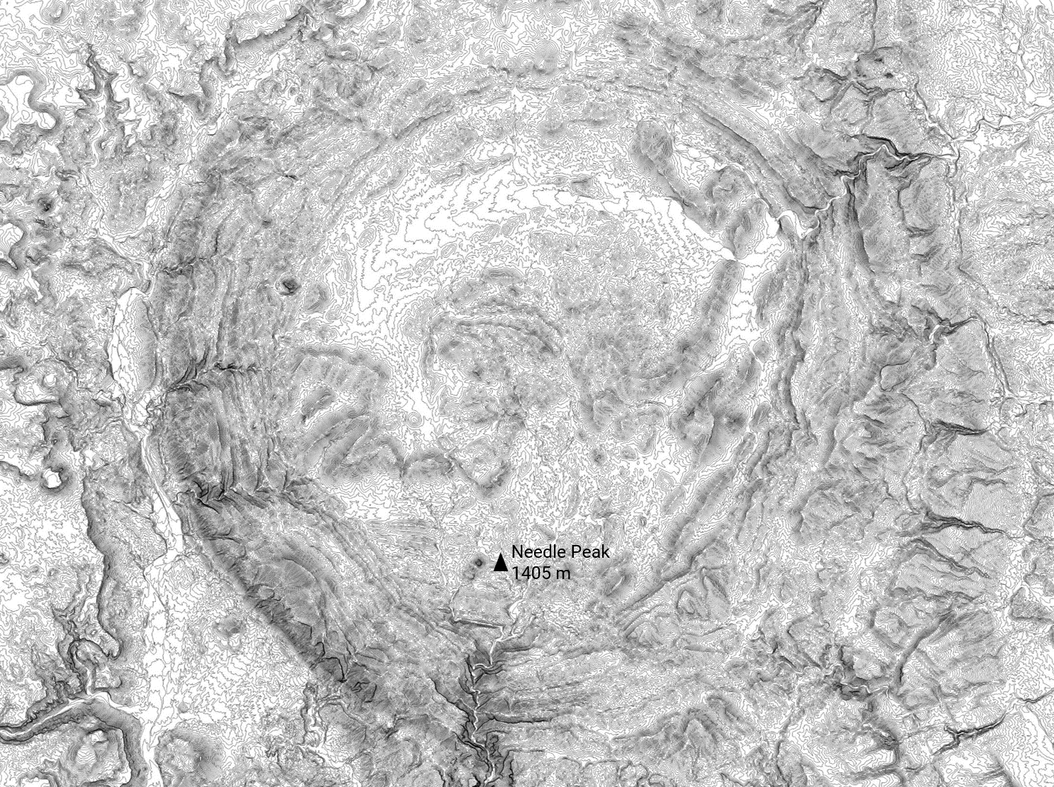
Once the point cloud has been cleaned, it can be used to generate DEMs and DSMs. A DEM is a 3D model of the terrain, showing the elevation of the ground at each point in the point cloud. A DSM is a 3D model of the Earth’s surface, including both the terrain and any objects on the surface (such as buildings, trees, etc.). Both DEMs and DSMs can be used for a variety of applications, such as flood modeling and forestry management.
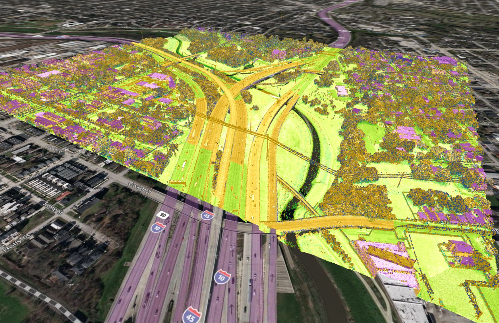
LiDAR points can also be classified based on their attributes. For example, points can be classified as ground points or non-ground points. This is useful for applications such as generating DSMs, where it is important to distinguish between the ground and other objects on the surface.
Applications of Processed LiDAR Data
Processed LiDAR data has a wide range of applications across many different fields. Here are just a few examples:
- Flood modeling: LiDAR data can be used to create high-resolution DEMs that can be used to model flood conditions. By analyzing the terrain and other factors, such as the location of rivers and streams, it is possible to predict how floodwaters will flow and what areas are most at risk.
- Forestry management: LiDAR data can be used to create detailed 3D models of forests, including the trees, understory vegetation, and ground surface. This can be used to monitor the health of forests, plan timber harvesting operations, and identify areas in need of reforestation.
- Urban planning: LiDAR data can be used to create 3D models of cities and other urban areas, providing detailed information on the location and height of buildings, roads, and other infrastructure. This can be used to plan the expansion of cities and to identify areas in need of repair or improvement.
Challenges and Limitations of LiDAR Data Processing
Although LiDAR is a powerful tool, there are still challenges and limitations to consider when processing LiDAR data.
One common challenge is data noise. LiDAR systems can be affected by various factors that can introduce errors into the data, such as atmospheric conditions, sensor noise, and reflections off of non-terrain objects. This can make it difficult to accurately model the terrain and other features.
Another challenge is occlusions. LiDAR systems can have trouble “seeing” through certain materials, such as dense foliage or walls. This can make it difficult to accurately model the terrain and other features in these areas.
There are also limitations to consider when using LiDAR data. For example, LiDAR systems are generally unable to penetrate certain materials, such as water or concrete. This can make it difficult to accurately model the terrain and other features in these areas.
Conclusion
In conclusion, LiDAR data is an invaluable resource for a wide range of applications, including geography, archaeology, architecture, and autonomous vehicles. The processing of LiDAR data involves a number of steps, including filtering and cleaning the point clouds, generating DEMs and DSMs, and classifying the points. Processed LiDAR data has many applications, including flood modeling, forestry management, and urban planning. However, there are also challenges and limitations to consider when processing LiDAR data, such as data noise and occlusions. Despite these challenges, LiDAR technology is constantly evolving and improving, and it will continue to be a valuable tool for many years to come.


