Remote Sensing
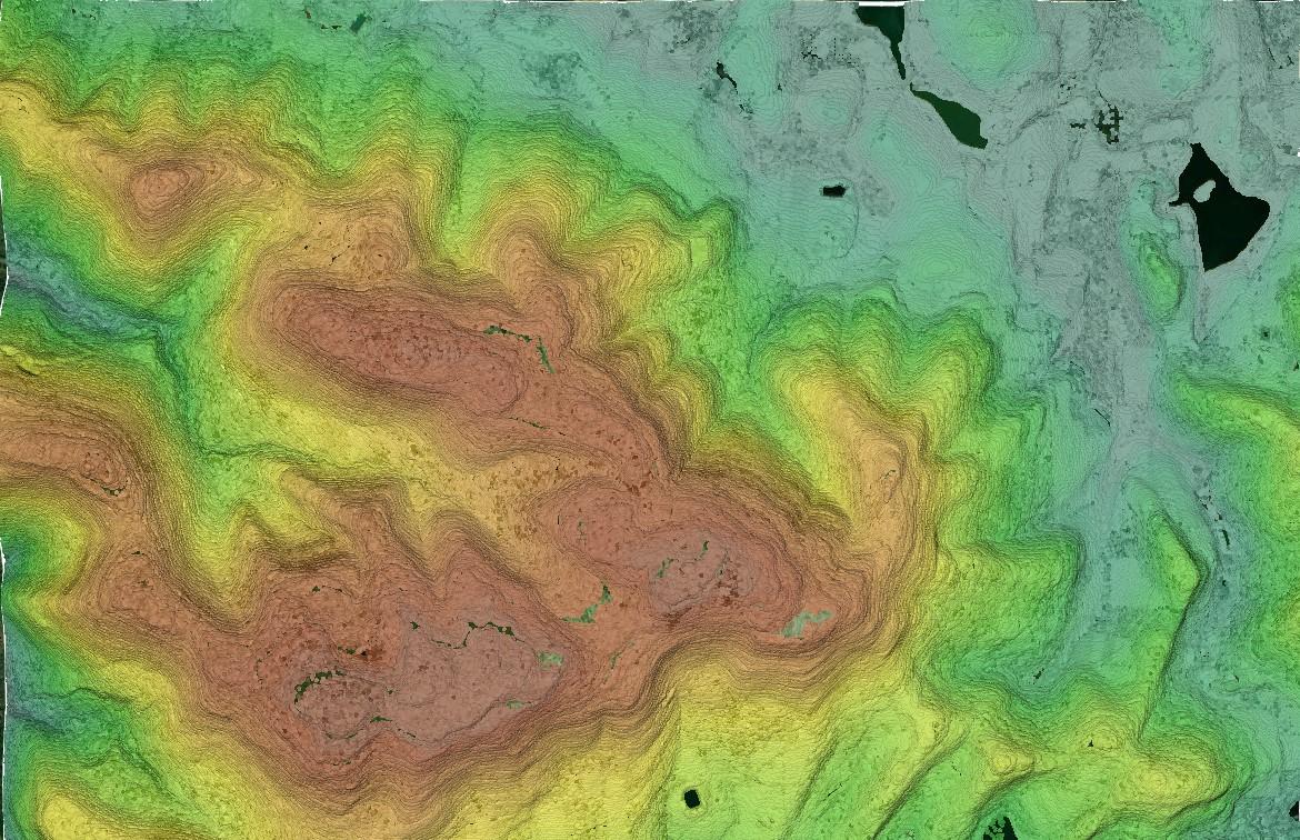
Active Remote Sensing (LiDAR Point Cloud) of Loyalsock State Forest, Pennsylvania
What is Remote Sensing and Why is it so Important?
Remote sensing is the science of obtaining information from a distance that relates to the physical properties of the Earth. It uses specialized sensors and instruments to detect and monitor a surface’s reflected and emitted electromagnetic radiation. This is done without actually making any physical contact between the sensor and surface. Remote sensing has become an indispensable and powerful tool that allows us to process, analyze, and gain valuable insights in so many different fields, from monitoring environmental changes to aiding in disaster management.
The Difference Between Active vs. Passive Remote Sensing
There are two types of remote sensing techniques – active and passive.
Active Remote Sensing
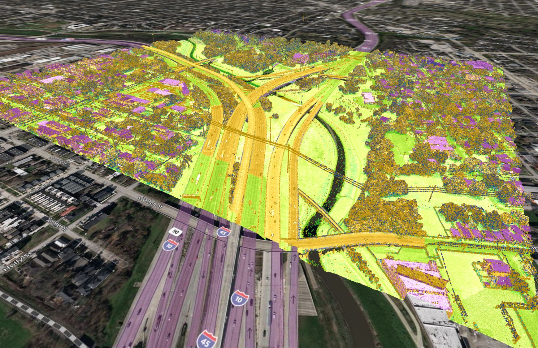
Active remote sensing involves using sensors that illuminate the target and measure the reflected light energy or backscatter. The sensor can be mounted on a satellite, aircraft or ground-based platform. The sensor measures the time it takes to send out radiation, which interacts with the target and bounces back. This time, combined with the location of the sensor, determines the distance or elevation. The majority of active sensors operate in the microwave band of the electromagnetic spectrum, giving them the ability to penetrate the atmosphere under most conditions. This means they can operate at any time of the day or night and can penetrate through clouds. The two most common types of active sensors are RADAR (Radio Detection and Ranging) which uses radio waves to measure distances, and LiDAR (Light Detection and Ranging) which uses laser pulses to measure distances.
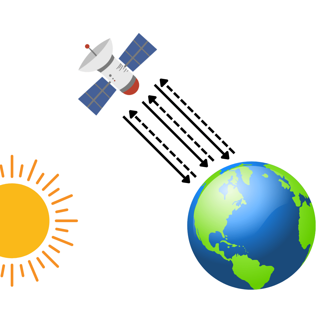
Active Remote Sensing
Passive Remote Sensing
Passive remote sensing involves measuring reflected light energy emitted from the sun or other naturally emitting radiation sources. It is often used in satellite imagery and photography. Typically sensors are located on satellites, aircrafts, or ground-based platforms and can capture the reflected light radiation and it is processed into images. Passive remote sensing operates in the visible, infrared, thermal infrared and microwave portions of the electromagnetic spectrum. This method cannot penetrate cloud cover and must operate during sunlight. Radiometers and spectrometers are examples of passive remote sensing devices techniques.
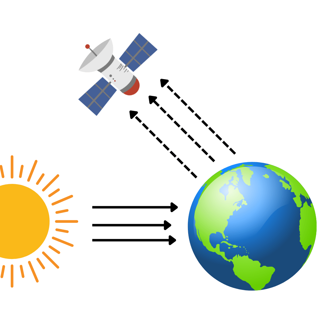
Passive Remote Sensing
How is Remote Sensing Used? Various Applications of Remote Sensing
Remote sensing has become crucial for so many different applications, including environmental monitoring, weather forecasting, disaster management, archaeological investigations, agriculture and crop management, forestry, hydrology, and oceans and coastal monitoring. In fact, to show the vast applications remote sensing can be used for, GISGeography recently came out with a list titled “100 Earth Shattering Remote Sensing Applications and Uses”
Some of the most popular uses of remote sensing include:
Environmental Monitoring
Remote sensing is able to monitor changes in the environment over time. Professionals such as ecologists, environmentalists, planners, and policy makers can use remote sensing techniques to track and analyze things such as deforestation, urban expansion, and changes in land cover uses.
Agriculture and Crop Monitoring
Agriculturalists and farmers can use remote sensing to monitor crop health, moisture levels and nutrient content so they are able to make informed decisions about irrigation, fertilization, and pest control. It helps farmers make decisions about crop layout to optimize crop yield, and minimize resource wastage.
Weather Forecasting and Climate Studies
Weather forecasting, storm tracking, and long-term and global climate trend analysis is made available through remote sensing instruments gathering data on atmospheric conditions, cloud cover, and ocean temperature.
Disaster Management
During natural disasters like earthquakes, floods, and wildfires, remote sensing provides critical information for first responders and relief efforts. Satellite imagery can assess the extent of damage, identify affected areas, and aid in coordinating rescue operations.


