The Top Free LiDAR (LAZ) Data Sources
How To Find The Best Point Cloud Data!
Our mission at Equator Studios is to help our users find the best LiDAR data for their projects.
We’ve scoured the internet for data so you don’t have to!
Equator combines thousands of scraped data sources onto one map, making it easier than ever to find the best data available.
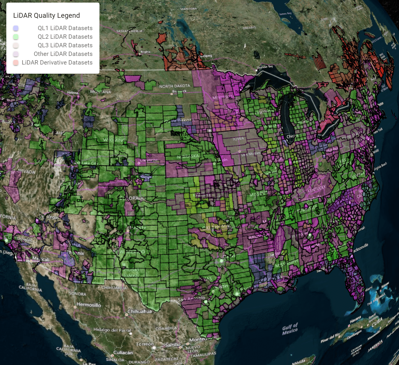
#1 – Equator Studios
Equator Studios combines all of the datasets below, making it the largest online repository for LiDAR! If you want instant access to the best available LiDAR data, look no further!
All of the data in one place!
Equator uses AI, advanced web scraping, and a public plugin & API system to empower data providers and consumers with the largest and most versatile online LiDAR and geospatial data portal.
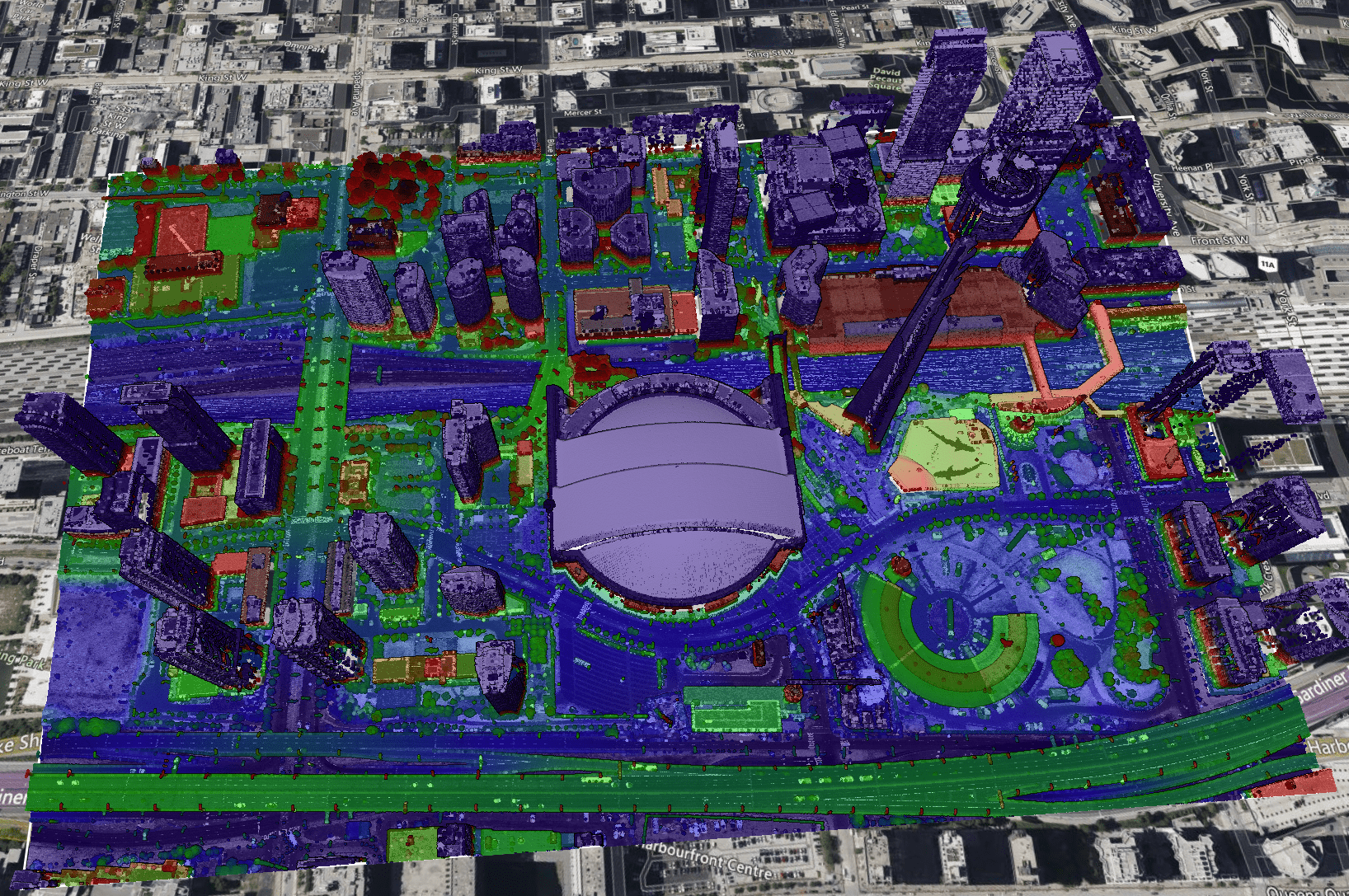
Equator allows clipping and preview of all the datasets in this list!
#2 – OpenTopography
OpenTopography is the original “largest online repository for LiDAR”, hosting just under 10 million square kilometers of LiDAR pointcloud data!
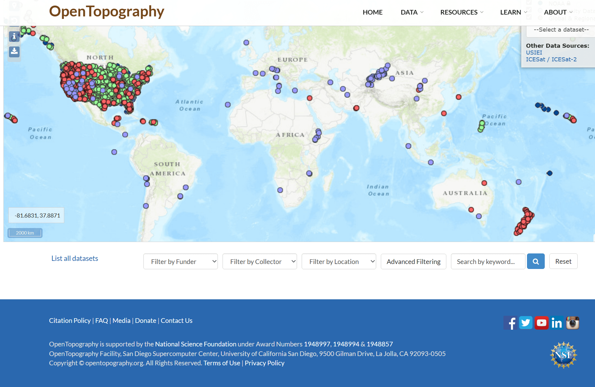
OpenTopography provides access to over 60 trillion points!


