Using ArcGIS Pro to Detect Objects Using Deep Learning
Lindsay2024-04-24T13:22:31-04:00Tutorial: Using Equator and ArcGIS Pro to Detect Objects Using Deep Learning
Tutorial: Using Equator and ArcGIS Pro to Detect Objects Using Deep Learning
User Guide / LiDAR vs DEM vs Contours?
User Guide / What is a Civil 3D surface (TIN versus
The next generation of GIS tools: Create professional maps in minutes.
An Increase in Lidar Accuracy and what that means for Civil Engineers
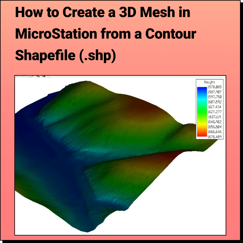
Tutorial: Creating a 3D Mesh from a Contour Shapefile in Bentley MicroStation In
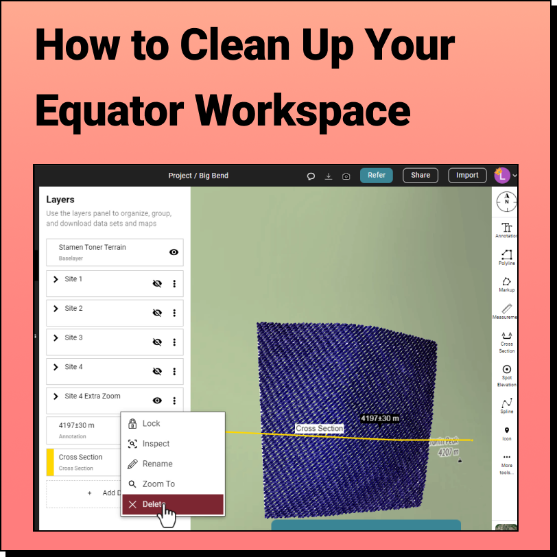
How to Clean Up the Equator Interface We get it, when you're knee
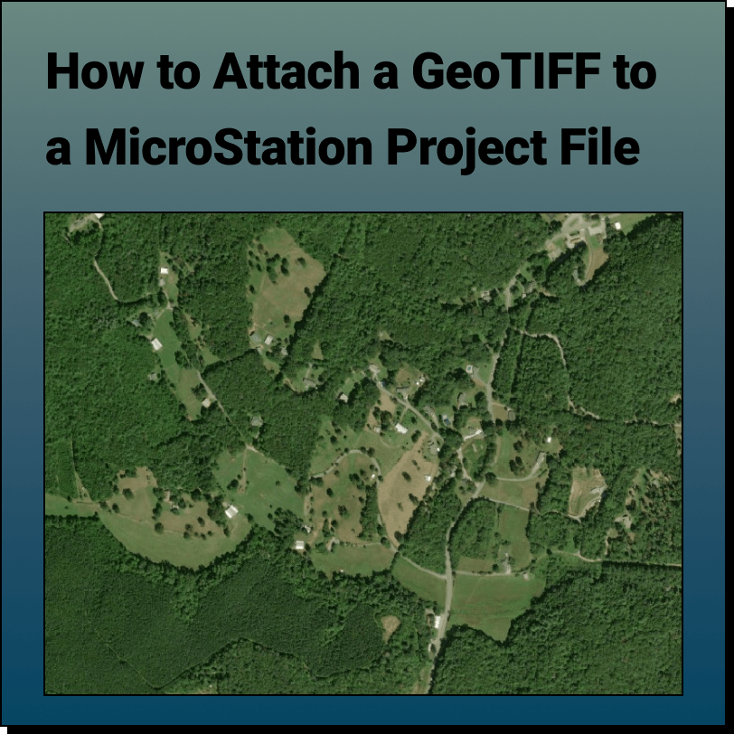
Tutorial: Attaching a RASTER (Orthoimage) to a MicroStation Project File In this tutorial,
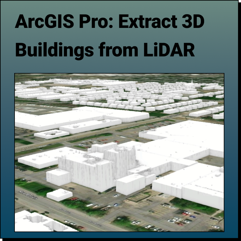
Extract 3D Buildings from LiDAR Data in ArcGIS Pro This Equator and ArcGIS Pro