Free Civil Engineering Proposal Template
Lindsay2024-04-25T16:58:59-04:00Template Free Civil Engineering Proposal Template Download a
Template Free Civil Engineering Proposal Template Download a
How to Write a Civil Engineering Proposal This post will
Projected vs. Geographic Coordinate Systems Thought there was only one
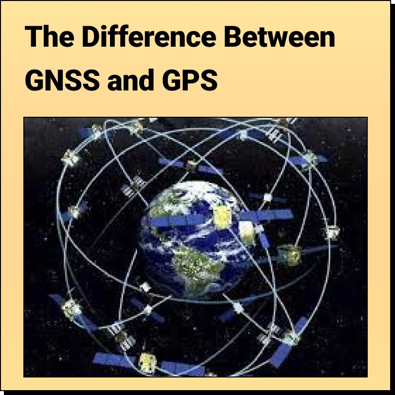
The Difference Between GNSS and GPS Most people are
Key Mapping and GIS Terms: A Clear and Concise Glossary Updated 2023-08-23 Terms
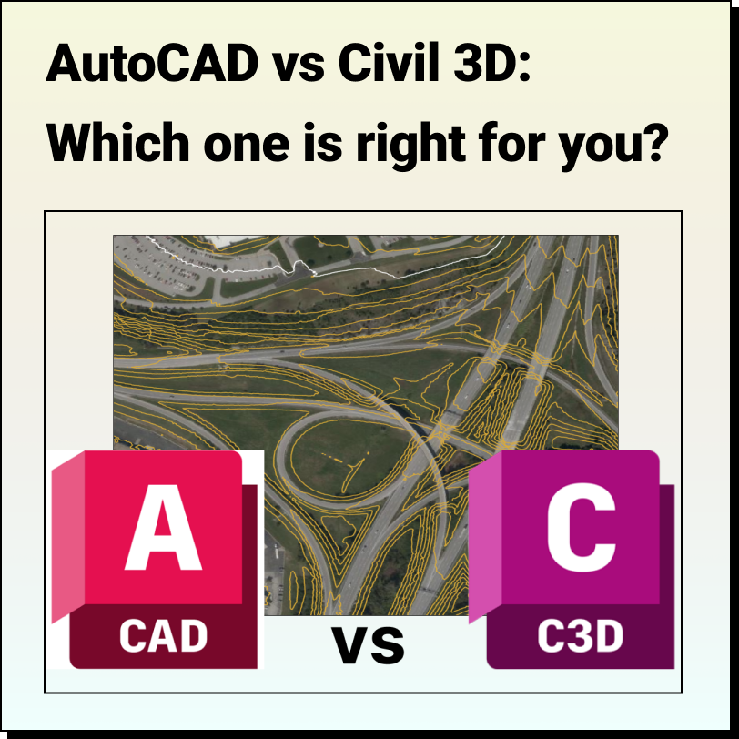
AutoCAD vs Civil 3D Which one is right for you? We have
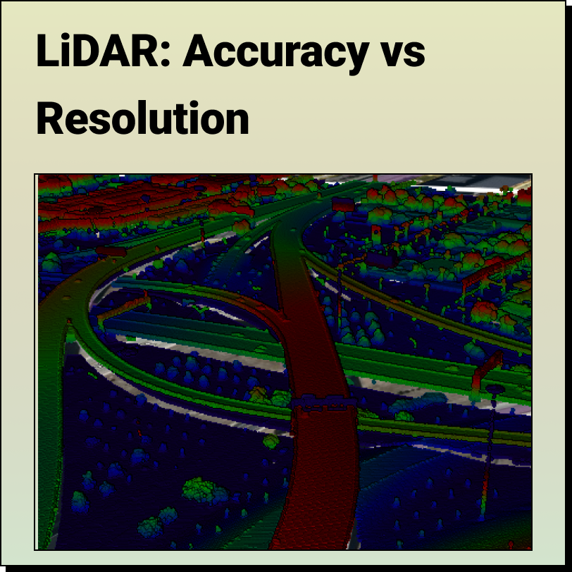
LiDAR - Accuracy vs. Precision Understanding the difference between LiDAR Accuracy and
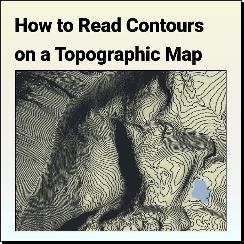
Features of a Topographic Map Topographic maps use contour lines to show different
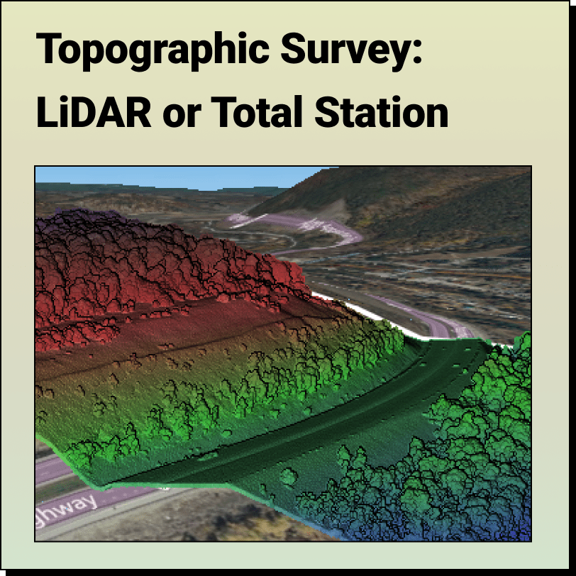
Topographic Surveys: LiDAR or Total Station? Most people think the only way to get