Remote Sensing
Lindsay2024-04-24T13:46:37-04:00Remote Sensing Active Remote Sensing (LiDAR Point Cloud) of Loyalsock State Forest,
Remote Sensing Active Remote Sensing (LiDAR Point Cloud) of Loyalsock State Forest,
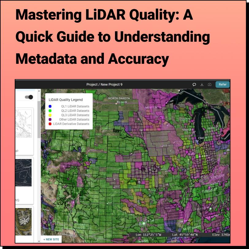
Discover the HIDDEN Accuracy of Your LiDAR Data Mastering LiDAR Quality: A Quick
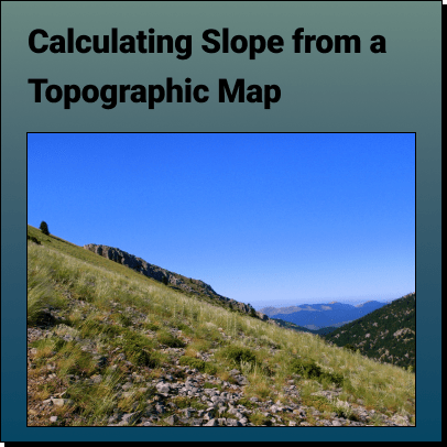
How to Calculate the Slope on a Topographic Map using Contour Lines Use
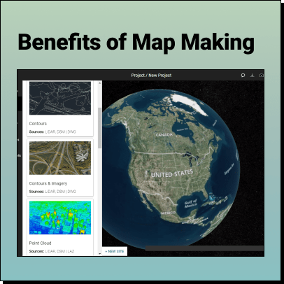
The Benefits of Map Making Maps have been an essential tool for
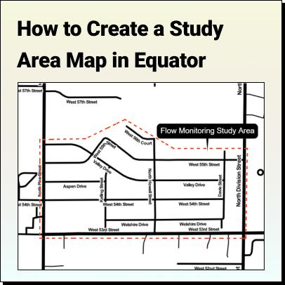
Tutorial: How to Create a Study Area Map Learn how to create a
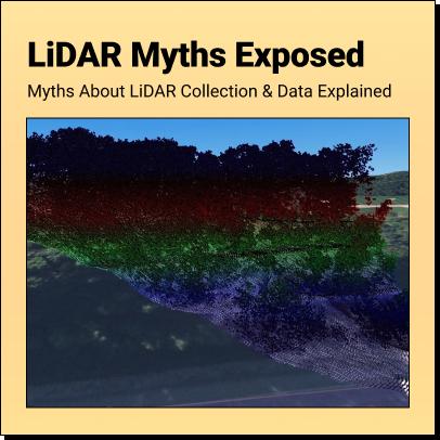
LiDAR Myths Exposed Six Common Myths and Misconceptions about LiDAR Collection and Data
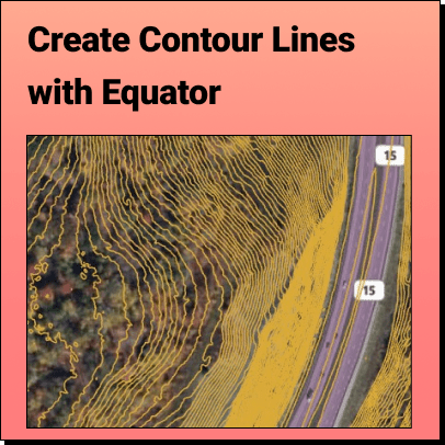
How to View Contour Lines With Equator, accurate contour lines can
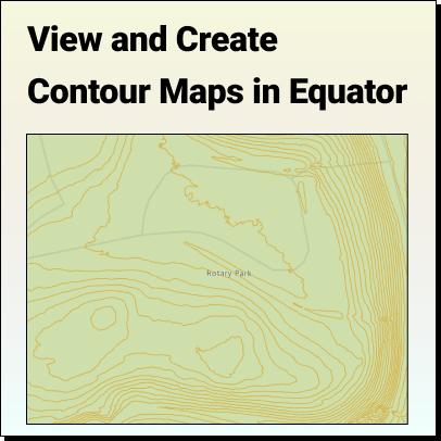
Create and View a Contour Map With Equator, accurate contours can
Deep Learning in Spatial Applications and GIS Machine learning has long been