Location Spotlight
Salt Lake City Topographic Map: view and extract detailed topo data
Salt Lake City Topographic Map The most detailed topographic map of Salt Lake
Mississippi Topographic Map: Base Plan Generator for CAD
Create base plans from the Mississippi topographic map Find, create, and share Mississippi

Montreal LiDAR: view and extract elevation data
Montreal LiDAR View, export, convert and share Montreal LiDAR using Equator in
Denver Topographic Map: view and extract detailed topo data
Denver Topographic Map The most detailed topographic map of Denver, Colorado. Locate, create
Austin Topographic Map: view and extract detailed topo data
Austin Topographic Map The most detailed topographic map of Austin, Texas. Locate, create
Kansas Topographic Map: Base Plan Generator for CAD
Create base plans from the Kansas topographic map Find, create, and share
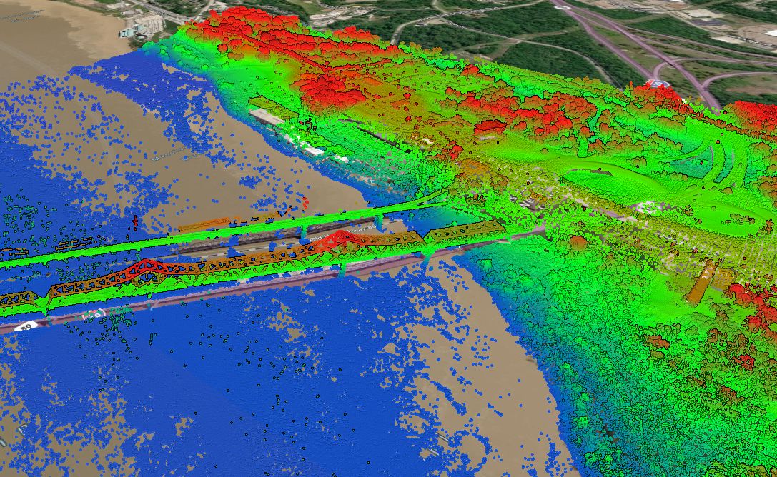
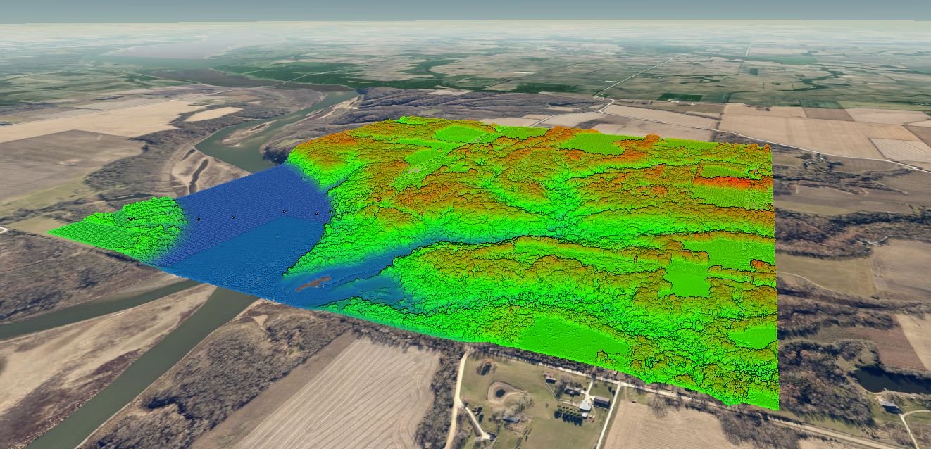
Texas East LiDAR Project
Texas East LiDAR Project The Texas East LiDAR project was completed for the
Florida Topographic Map: Base Plan Generator for CAD
Instant base plans from the Florida topographic map Find, export, and share Florida topographic
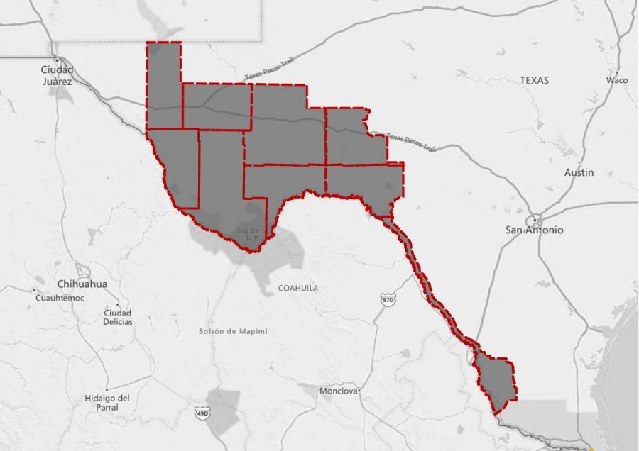
West Texas LiDAR Project
West Texas LiDAR Project The West Texas LiDAR project was completed for
Indiana Topographic Map: Base Plan Generator for CAD
Create base plans from the Indiana topographic map Find, create, and share
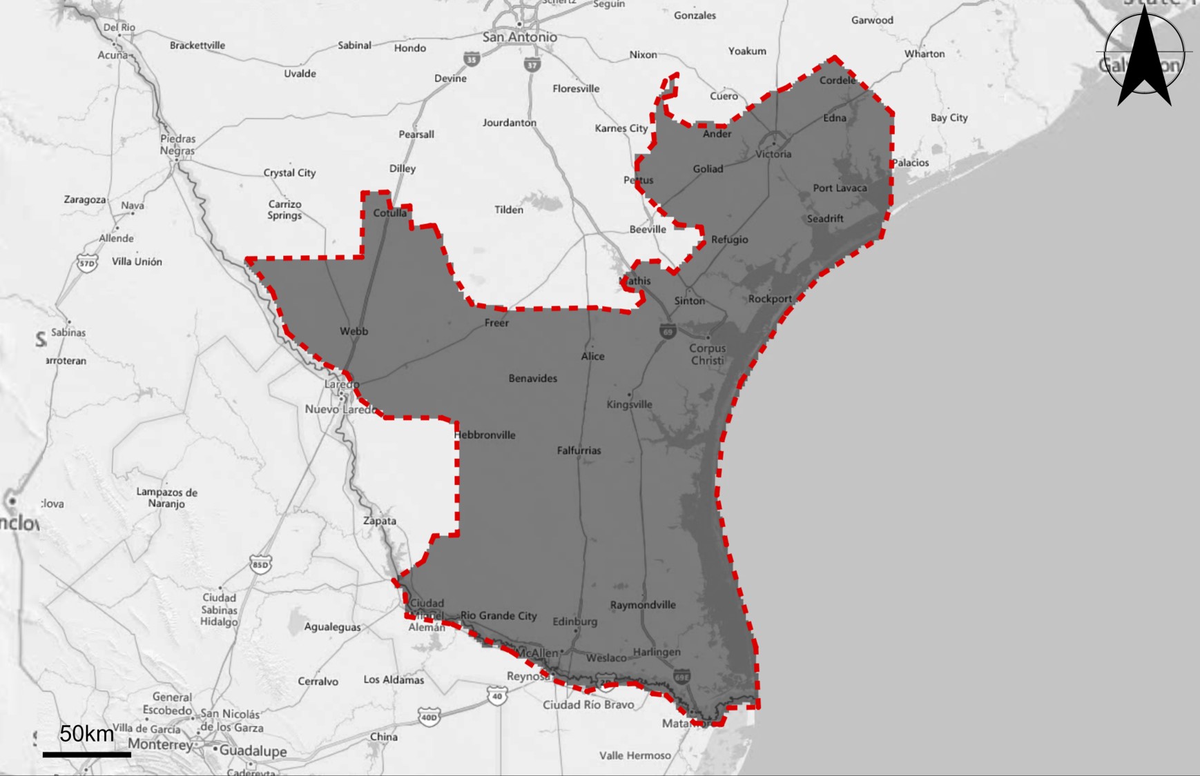
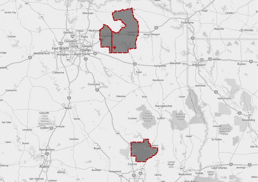
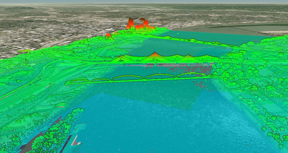
South Texas LiDAR Acquisition Project (FEMA)
South Texas LiDAR Project This page includes a summary of the South Texas
Iowa Topographic Map: Base Plan Generator for CAD
Create base plans from the Iowa topographic map Search, create, and collaborate
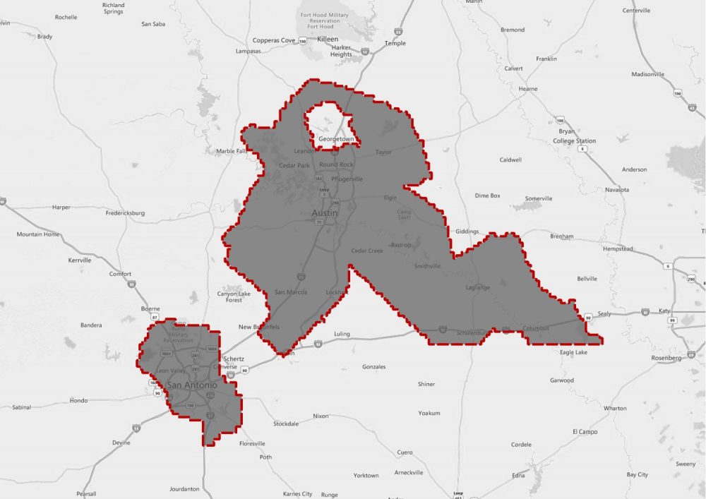
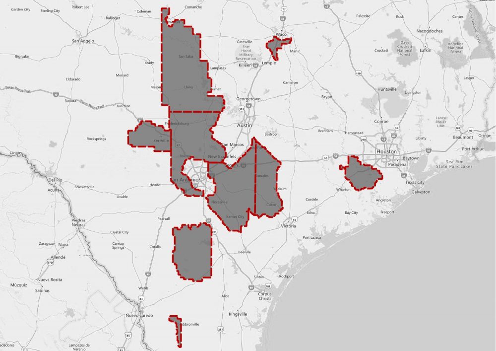
Texas Central LiDAR Project (San Antonio and La Grange)
Texas Central LiDAR Project The Texas Central LiDAR Project covers San Antonio and
Texas Hurricane Harvey LiDAR Acquisition Project (USGS)
Texas Hurricane Harvey LiDAR Project This page includes a summary of the
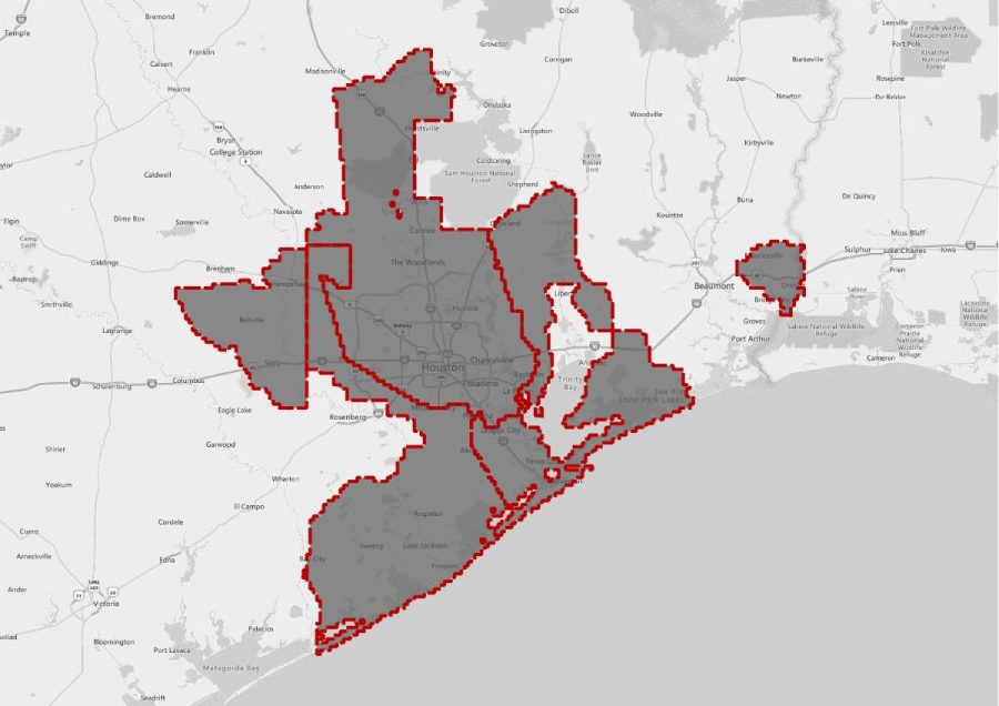
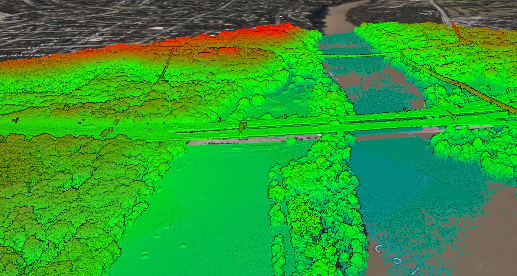
Texas Coastal LiDAR Project (Houston and Surrounds)
Texas Coastal LiDAR Project This page includes a summary of the Texas
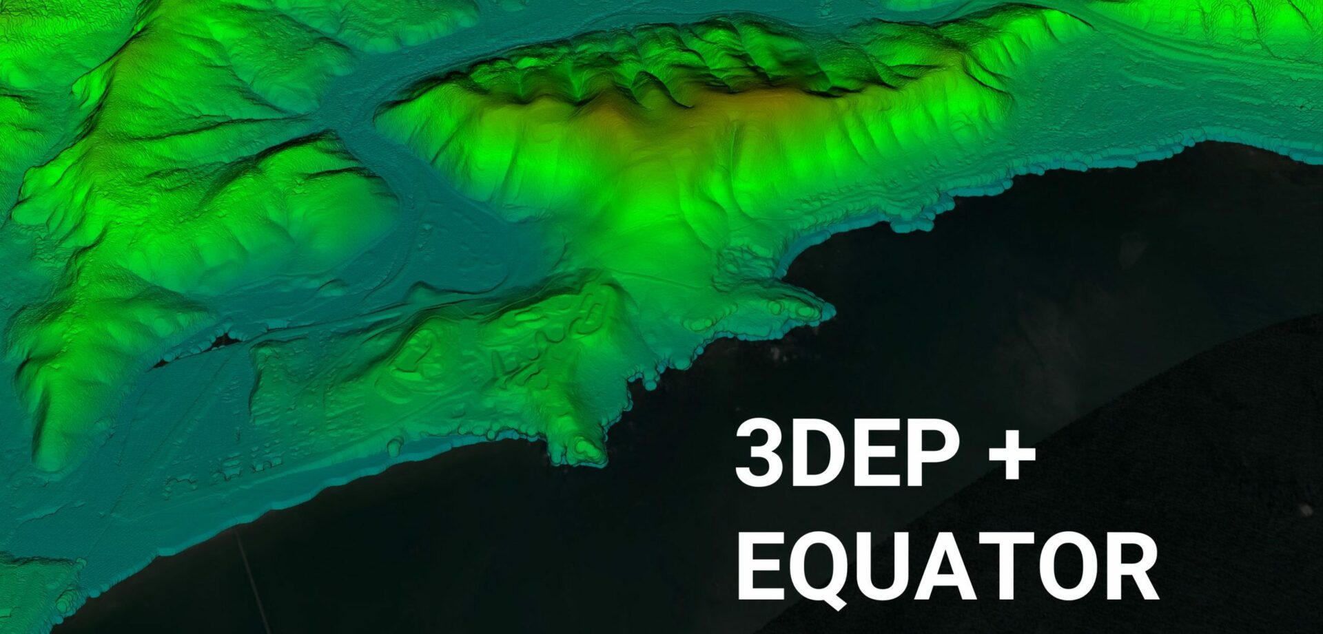
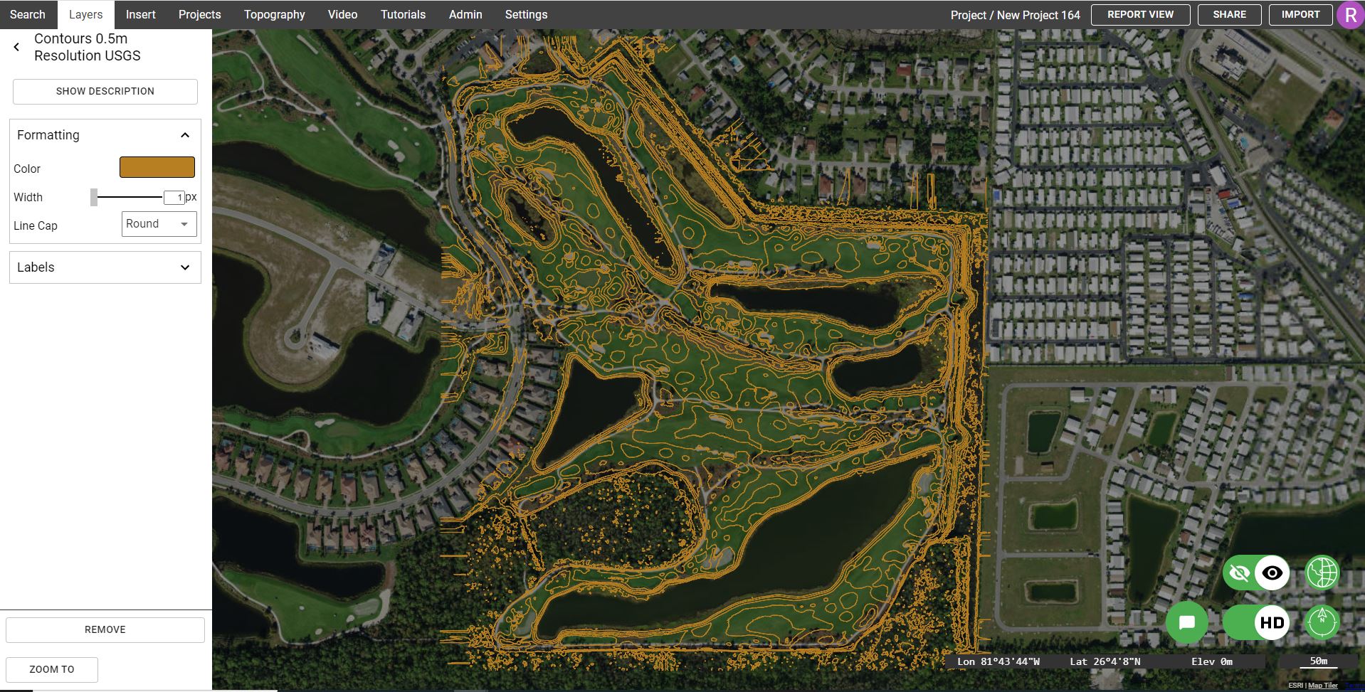
Equator Launches 3DEP USGS Topographic Maps
Equator Launches 3DEP High-Resolution USGS Topographic Maps Equator provides unprecedented access
Toronto Topographic Map: view and extract detailed topo data
Toronto Topographic Map The most detailed topographic map of the City of Toronto
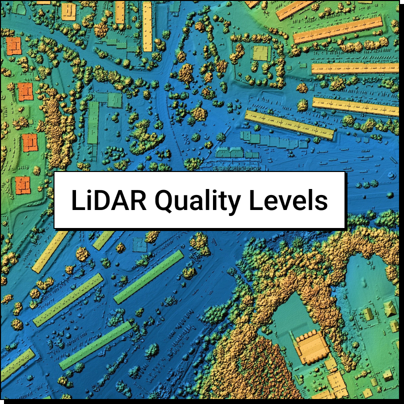
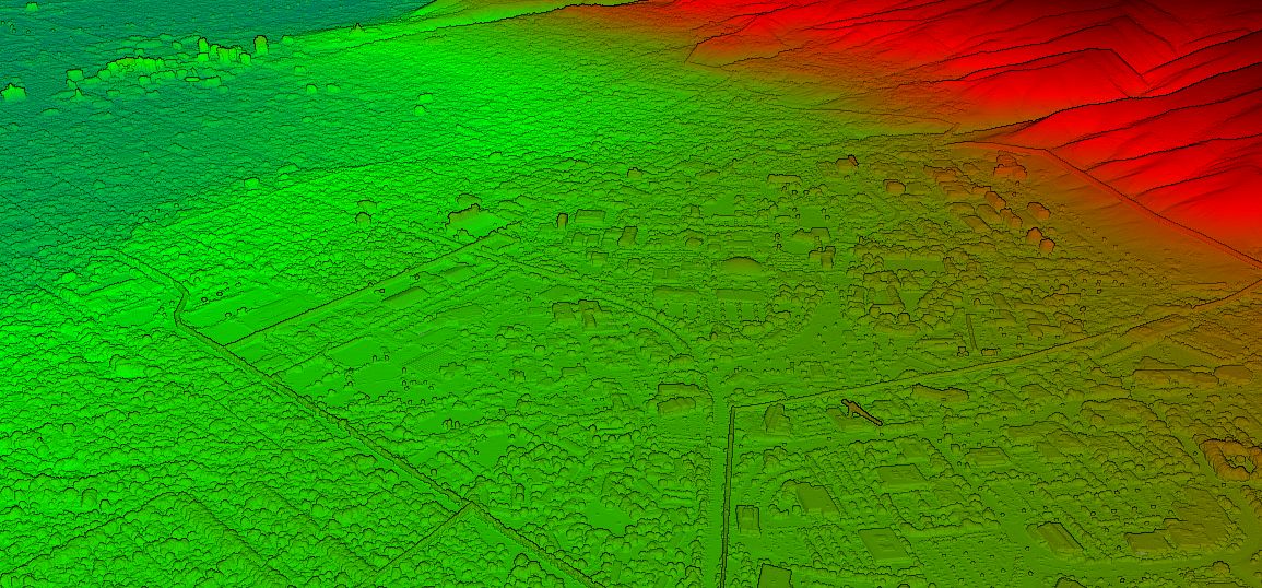
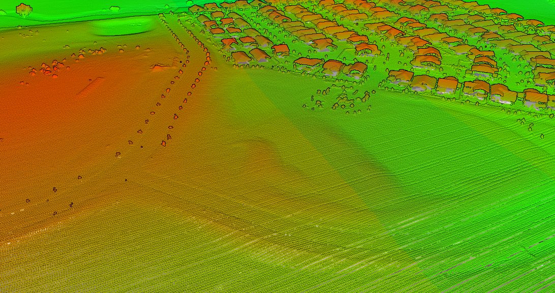
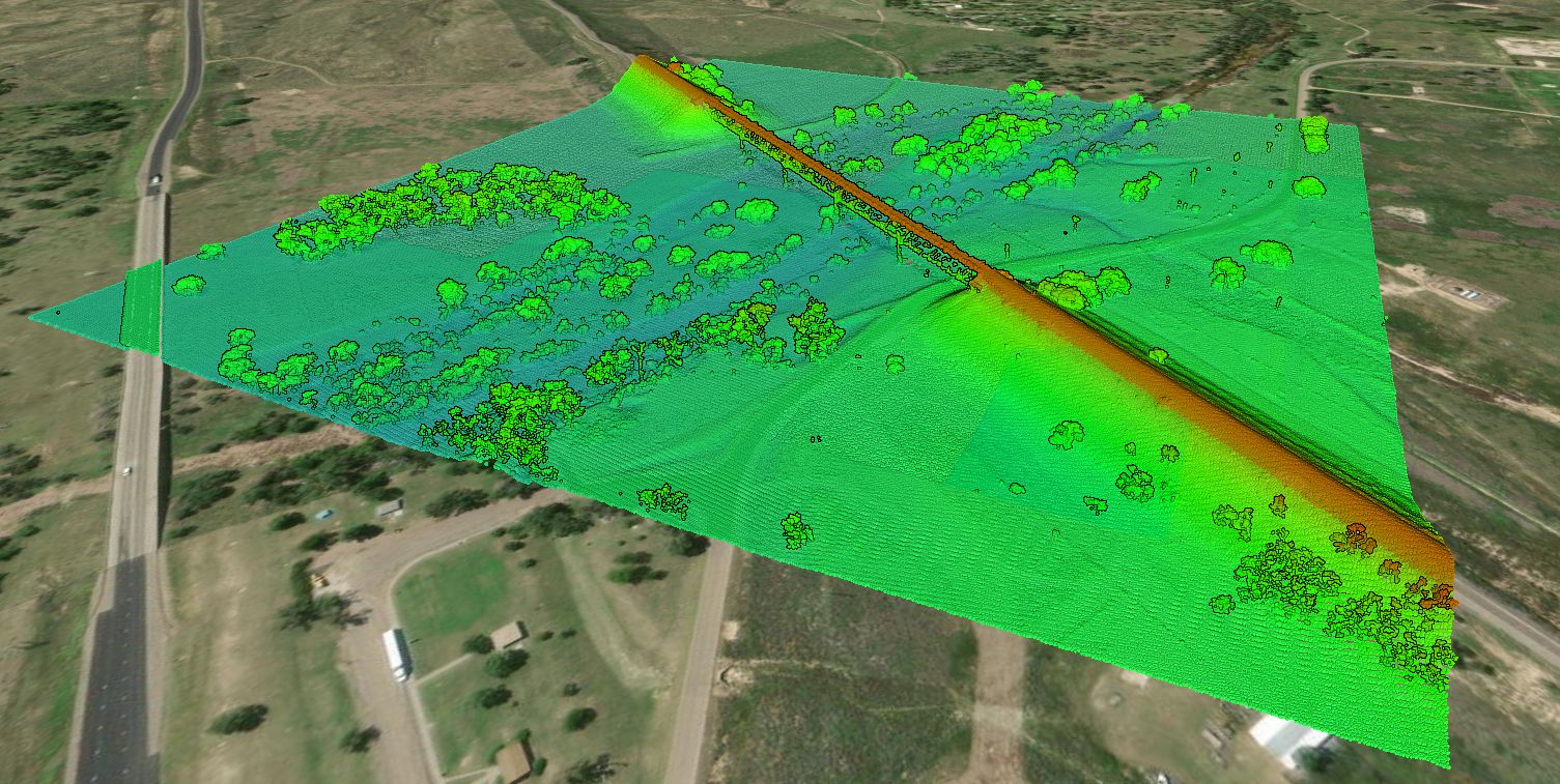
LiDAR Quality Levels
LiDAR Quality Levels What is LiDAR data? LiDAR is a radar
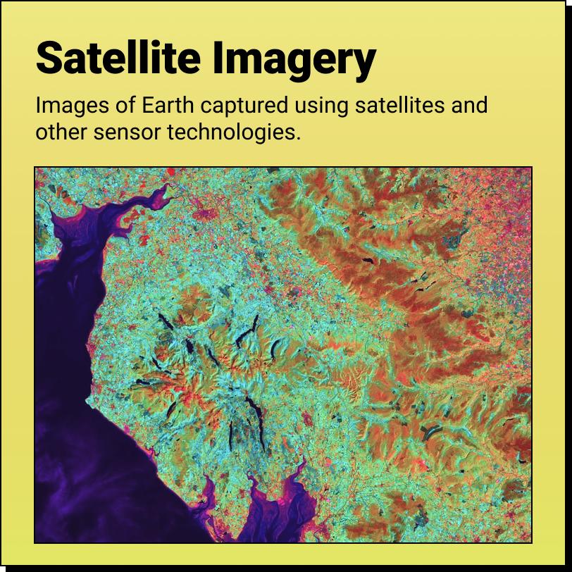
Satellite Imagery
Satellite Imagery A Product of The 'Data Revolution' Satellite Imagery are images of
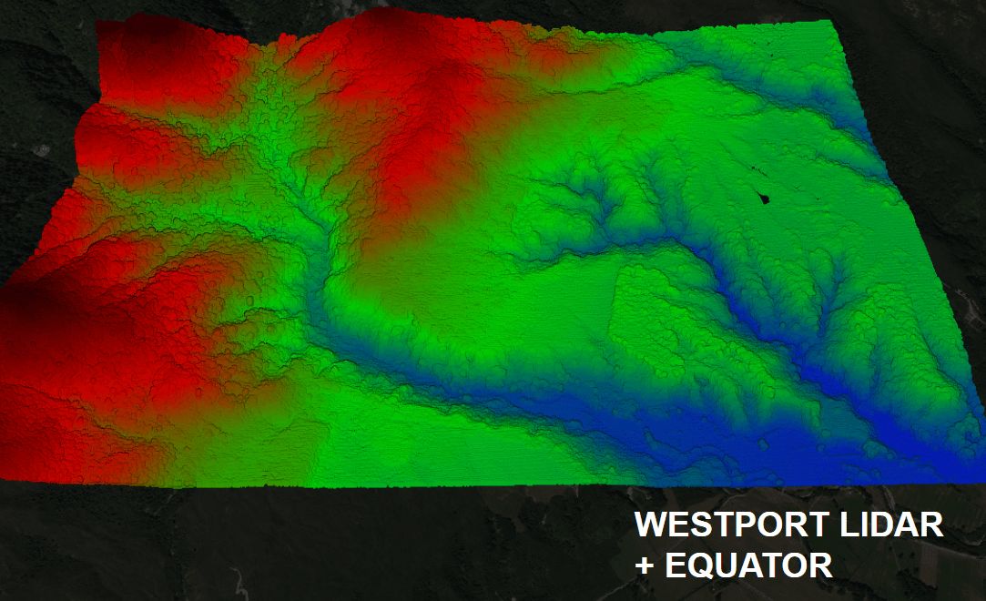
Equator Launches Westport LiDAR Data
Equator Launches the Westport LiDAR data set Equator provides unprecedented access

You will not find a Wellington Land Surveyor here
Equator is not a Wellington Land Surveyor Equator autogenerates base plans from
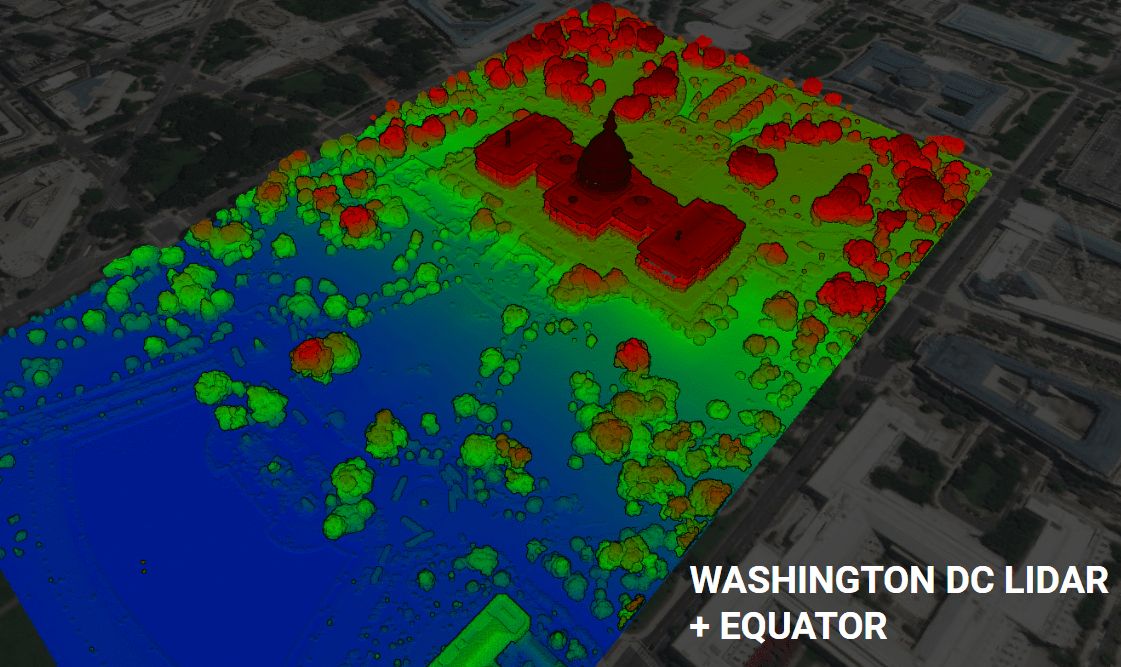
Equator Launches Washington DC LiDAR Data
Equator Launches the Washington DC LiDAR data set Equator provides unprecedented
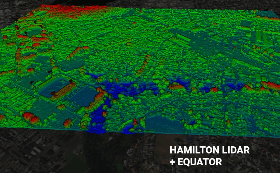
Equator Launches Hamilton LiDAR Data
Equator Launches the Hamilton, New Zealand LiDAR data set Equator provides
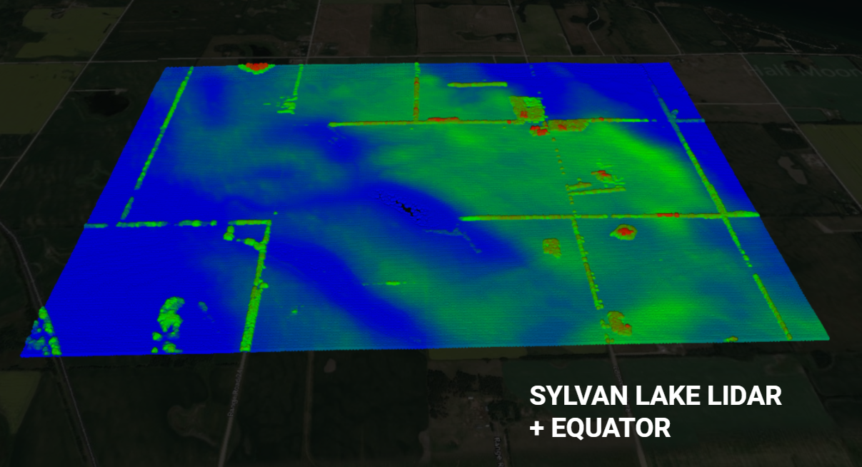
Equator Launches Sylvan Lake LiDAR Data
Equator Launches the Sylvan Lake LiDAR data set Equator provides unprecedented
You will not find a Reporoa Land Surveyor here
Equator is not a Reporoa Land Surveyor Equator autogenerates base plans from