Resilient Consulting Water Resources Case Study
Rebecca Swabey2024-03-25T11:08:16-04:00How Resilient Consulting uses Equator to source topographic data for water resources
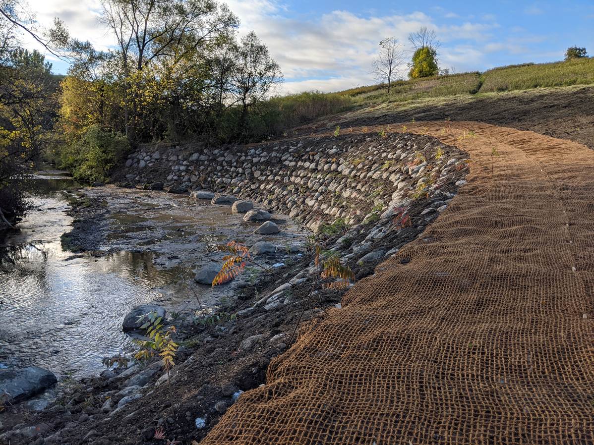
How Resilient Consulting uses Equator to source topographic data for water resources
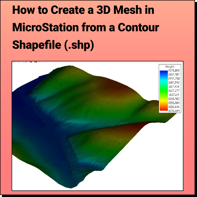
Tutorial: Creating a 3D Mesh from a Contour Shapefile in Bentley MicroStation In
How Egmond Associates Ltd. uses Equator to source topographic data and complete slope
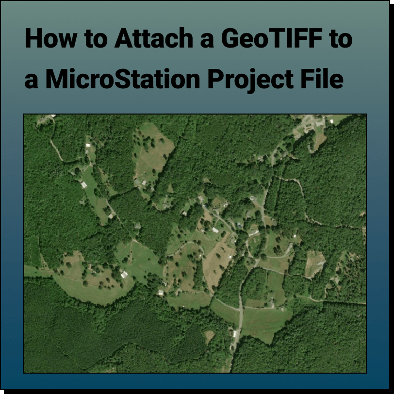
Tutorial: Attaching a RASTER (Orthoimage) to a MicroStation Project File In this tutorial,
Create a Surface and Profiles Along the Surface in Civil 3D Use Equator
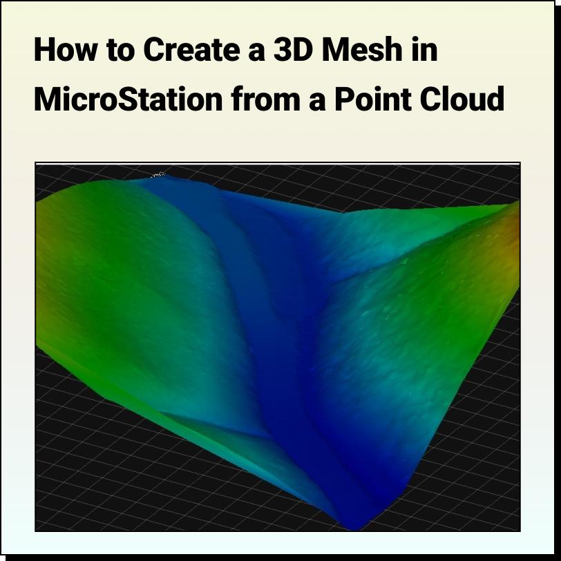
Tutorial: Creating a 3D Mesh from a Point Cloud in Bentley MicroStation In
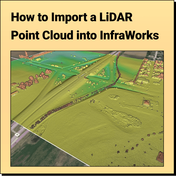
Tutorial: Import Your Point Cloud into InfraWorks Learn how to bring your LiDAR
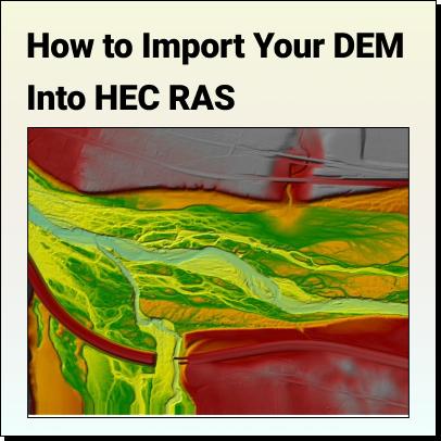
Tutorial: How to Import Your DEM Into HEC RAS Learn how to set
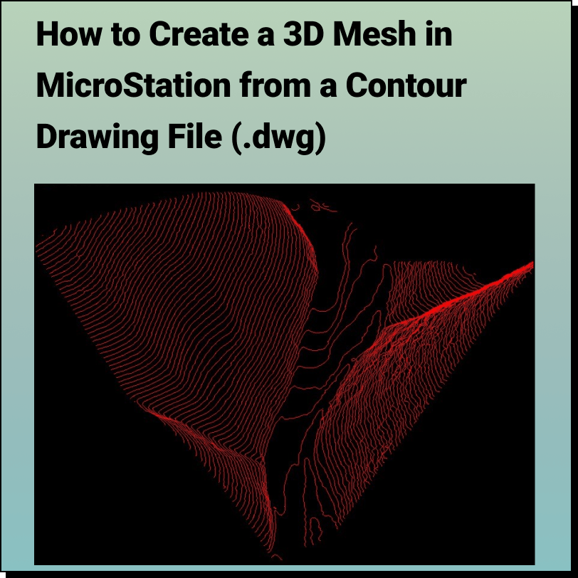
Tutorial: Creating a 3D Mesh from a Contour Drawing in Bentley MicroStation In
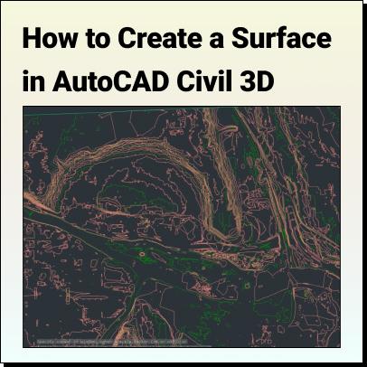
Tutorial: Create a Surface in Civil 3D Use Equator to source a Contour