Features & Benefits
Let us help you streamline your workflow.
start designing immediately
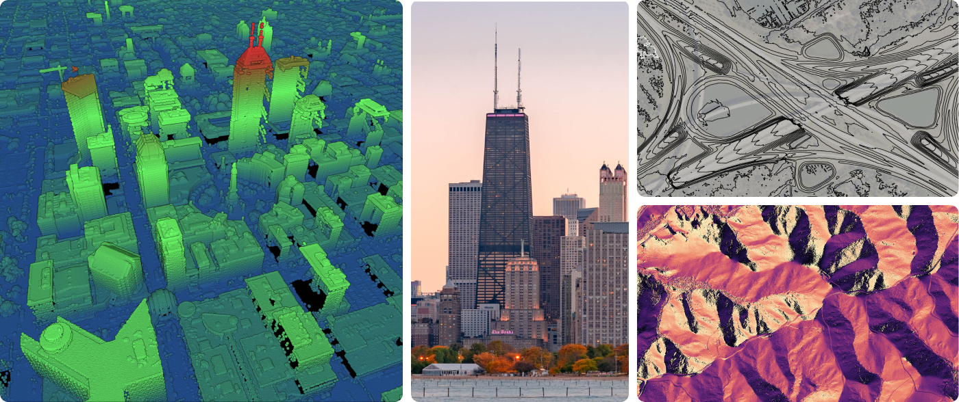
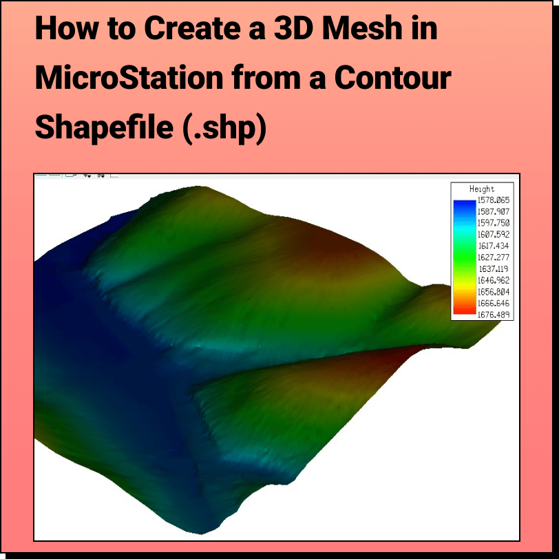
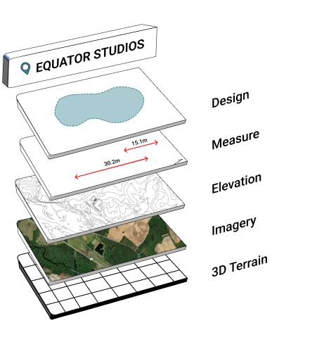
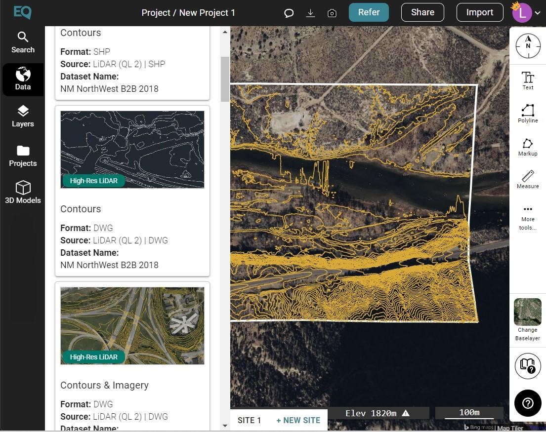
Start your design or analysis right from the kick-off. Equator provides instant access to the highest-resolution lidar and elevation data available, without leaving the office. Download point clouds, contours, or DEMs as LAZ, DWG, SHP, STL, GeoTIFF, and Heightmap (PNG).
Increase Your Profit margins
Reduce your survey size. Evaluate the site for potential issues from your desk before even stepping foot on site. Prevent project delays caused by difficult terrain or private property issues. Save valuable billable hours that would have been spent searching for and converting elevation data, or learning complicated software (Equator is user-friendly!).
Customer Reviews
