The Future of Mapping & Spatial Design
Rebecca Swabey2024-04-24T14:24:37-04:00The Future of Mapping & Spatial Design Leveraging real-time collaboration in online mapping to
The Future of Mapping & Spatial Design Leveraging real-time collaboration in online mapping to
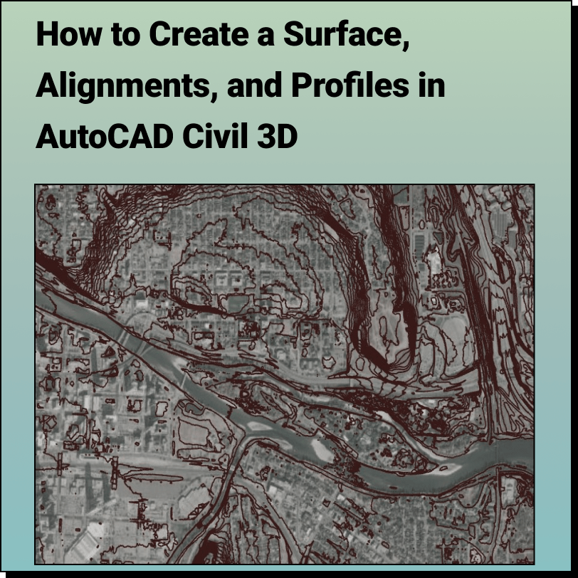
Create a Surface and Profiles Along the Surface in Civil 3D Use Equator
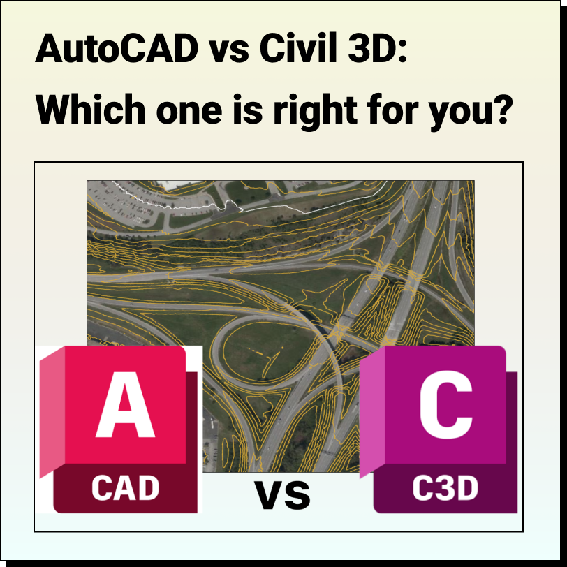
AutoCAD vs Civil 3D Which one is right for you? We have
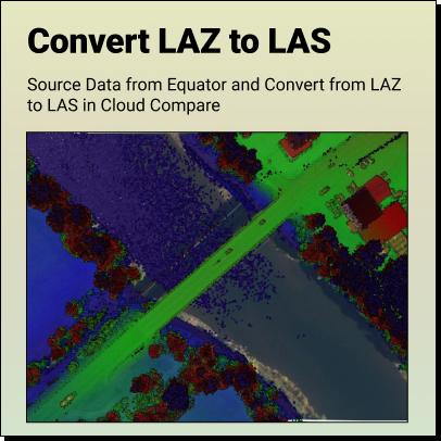
Tutorial: How to Convert LAZ Files to LAS Files Definitions Source LAZ File
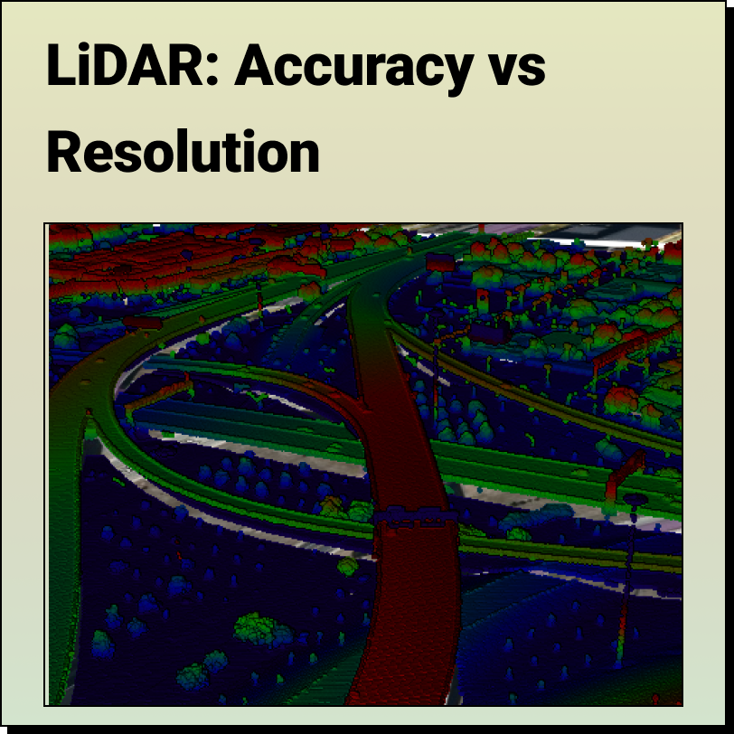
LiDAR - Accuracy vs. Precision Understanding the difference between LiDAR Accuracy and
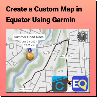
Tutorial: Export Data from Garmin Connect and Import it into Equator Learn how to
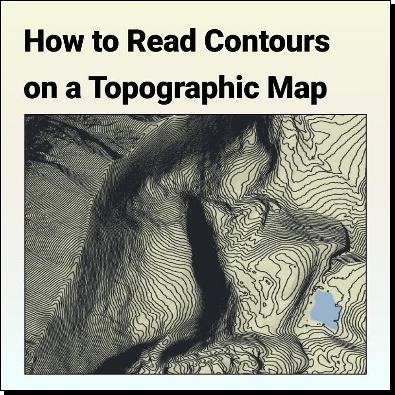
Features of a Topographic Map Topographic maps use contour lines to show different
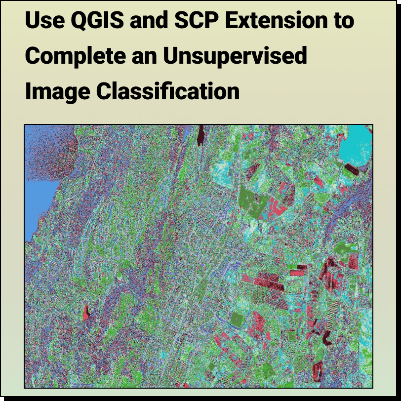
How to Complete an: Unsupervised Image Classification with QGIS and SCP Extension
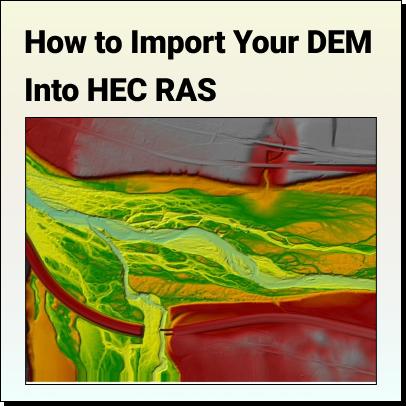
Tutorial: How to Import Your DEM Into HEC RAS Learn how to set
The Top Free LiDAR (LAZ) Data Sources How To Find The Best