Creating a 3D Mesh from a Contour Shapefile in MicroStation
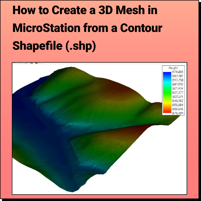
Lindsay2024-04-24T13:22:47-04:00Tutorial: Creating a 3D Mesh from a Contour Shapefile in Bentley MicroStation In
Tutorial: Creating a 3D Mesh from a Contour Shapefile in Bentley MicroStation In
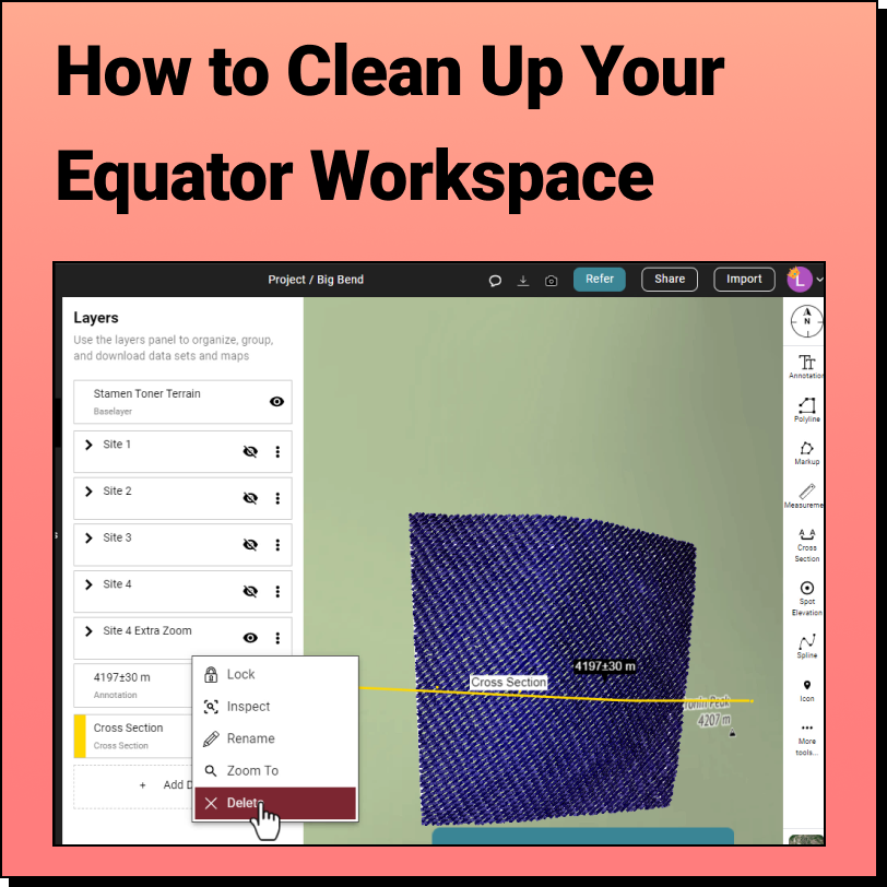
How to Clean Up the Equator Interface We get it, when you're knee
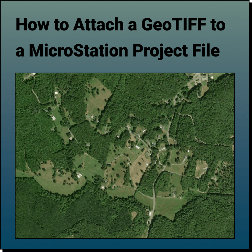
Tutorial: Attaching a RASTER (Orthoimage) to a MicroStation Project File In this tutorial,
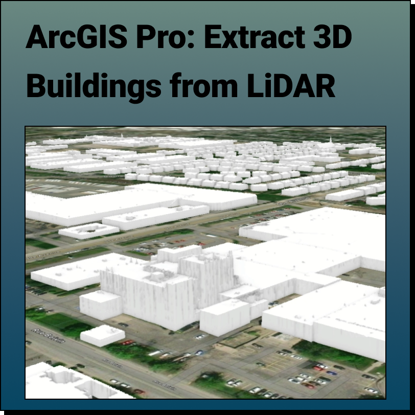
Extract 3D Buildings from LiDAR Data in ArcGIS Pro This Equator and ArcGIS Pro
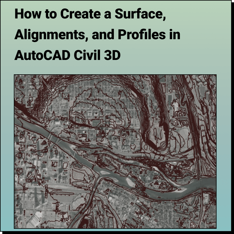
Create a Surface and Profiles Along the Surface in Civil 3D Use Equator
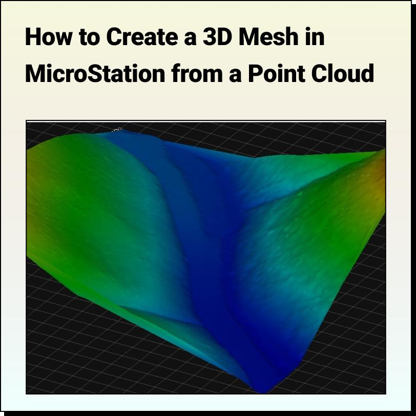
Tutorial: Creating a 3D Mesh from a Point Cloud in Bentley MicroStation In
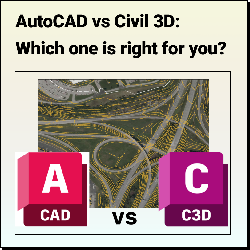
AutoCAD vs Civil 3D Which one is right for you? We have
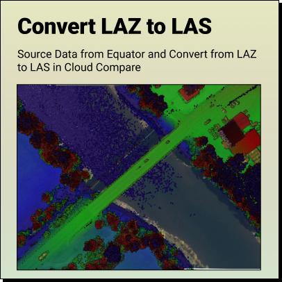
Tutorial: How to Convert LAZ Files to LAS Files Definitions Source LAZ File
LiDAR - Accuracy vs. Precision Understanding the difference between LiDAR Accuracy and