Export Data from Garmin Connect and Import it into Equator
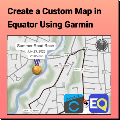
Lindsay2024-04-24T13:44:33-04:00Tutorial: Export Data from Garmin Connect and Import it into Equator Learn how to
Tutorial: Export Data from Garmin Connect and Import it into Equator Learn how to
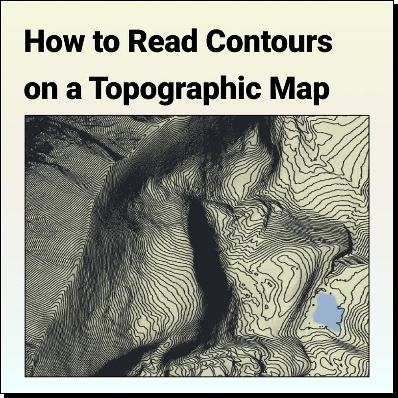
Features of a Topographic Map Topographic maps use contour lines to show different
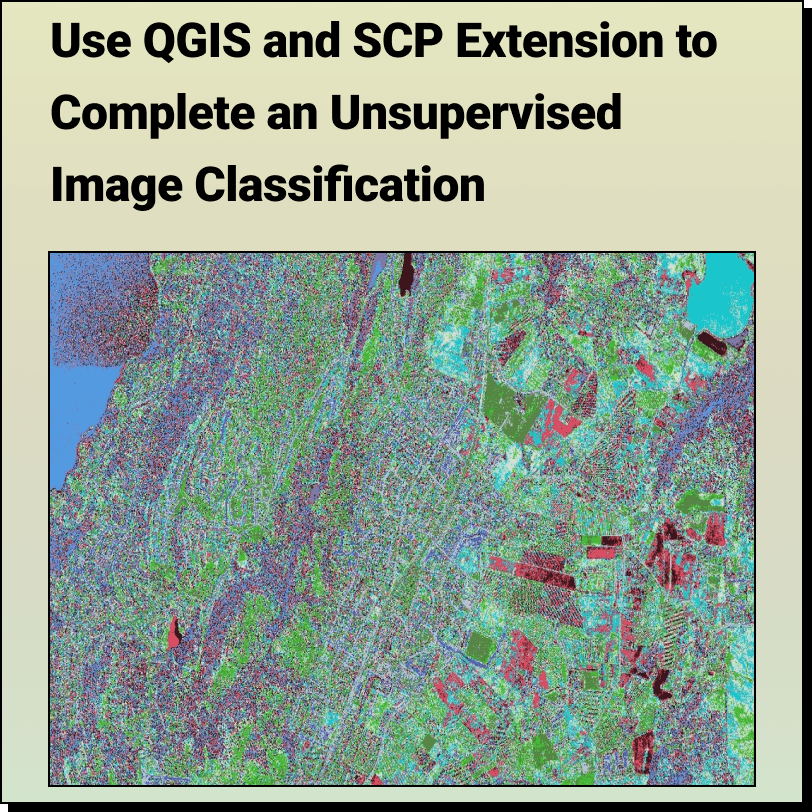
How to Complete an: Unsupervised Image Classification with QGIS and SCP Extension
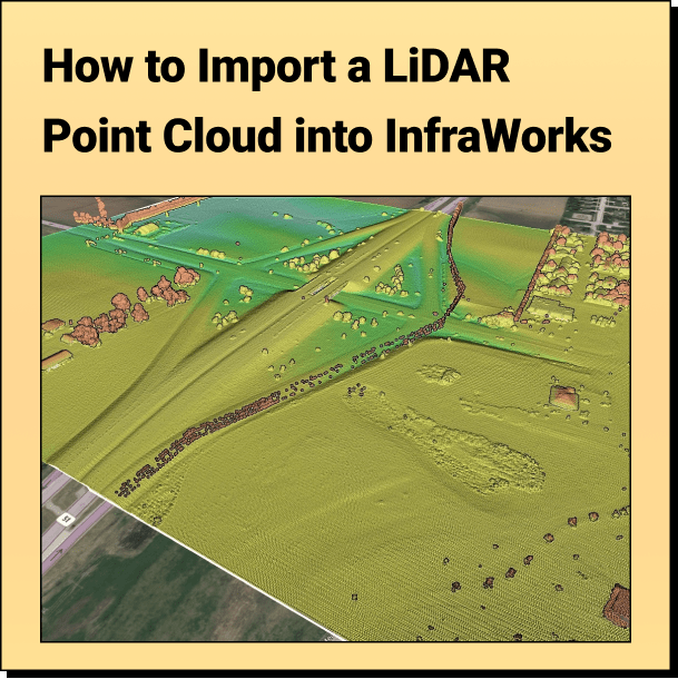
Tutorial: Import Your Point Cloud into InfraWorks Learn how to bring your LiDAR
Get Topography for HEC RAS with Equator Create terrain in HEC RAS Software
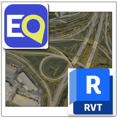
Get Topography for Revit with Equator Create a 2D contours or 3D terrain
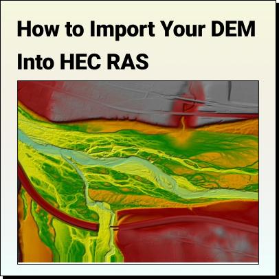
Tutorial: How to Import Your DEM Into HEC RAS Learn how to set
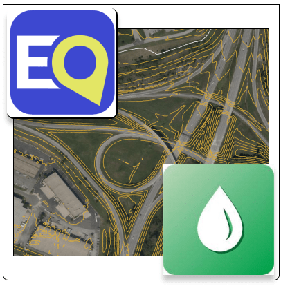
Get Topography for OpenFlows StormCAD Designer with Equator Create a 2D contours or
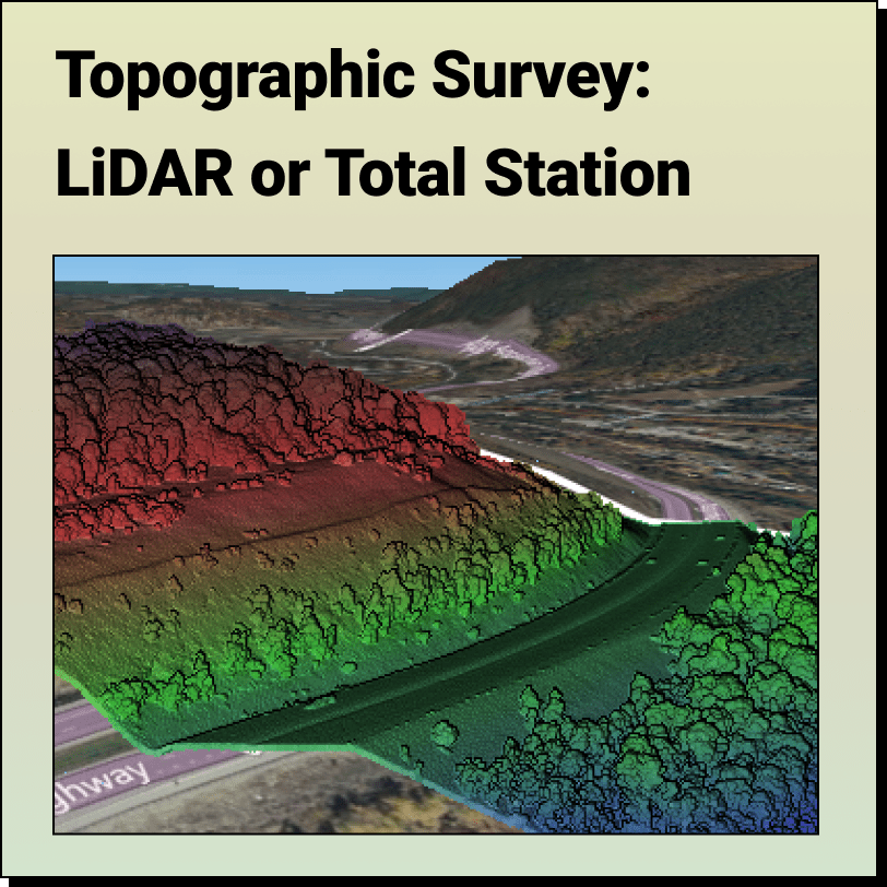
Topographic Surveys: LiDAR or Total Station? Most people think the only way to get
Remote Sensing Active Remote Sensing (LiDAR Point Cloud) of Loyalsock State Forest,