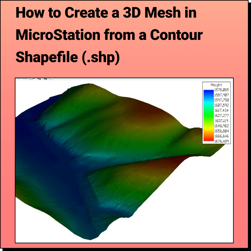
Creating a 3D Mesh from a Contour Shapefile in MicroStation
Lindsay2024-04-24T13:22:47-04:00Tutorial: Creating a 3D Mesh from a Contour Shapefile in Bentley MicroStation In
Tutorial: Creating a 3D Mesh from a Contour Shapefile in Bentley MicroStation In
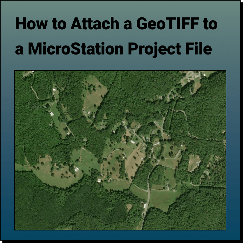
Tutorial: Attaching a RASTER (Orthoimage) to a MicroStation Project File In this tutorial,
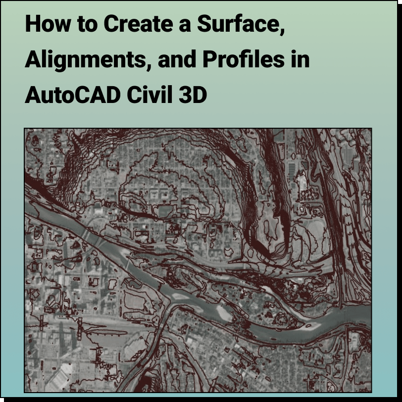
Create a Surface and Profiles Along the Surface in Civil 3D Use Equator
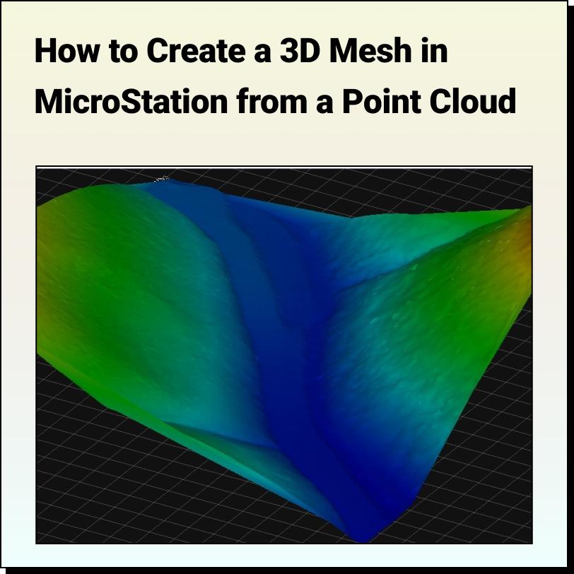
Tutorial: Creating a 3D Mesh from a Point Cloud in Bentley MicroStation In
AutoCAD vs Civil 3D Which one is right for you? We have
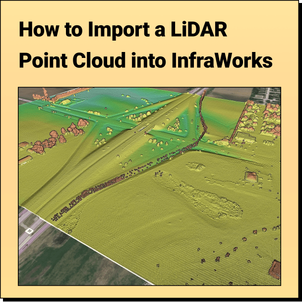
Tutorial: Import Your Point Cloud into InfraWorks Learn how to bring your LiDAR
The Top Free LiDAR (LAZ) Data Sources How To Find The Best
Get Topography for OpenFlows StormCAD Designer with Equator Create a 2D contours or
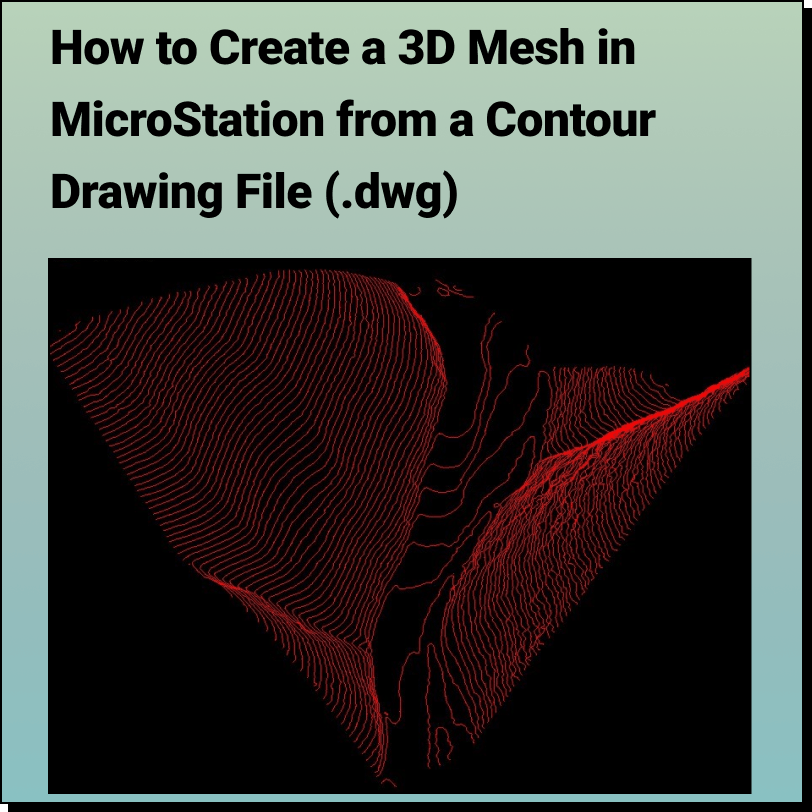
Tutorial: Creating a 3D Mesh from a Contour Drawing in Bentley MicroStation In
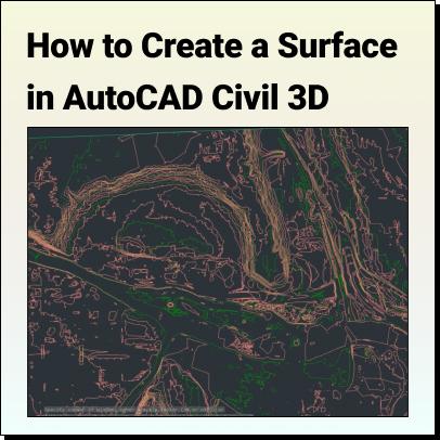
Tutorial: Create a Surface in Civil 3D Use Equator to source a Contour