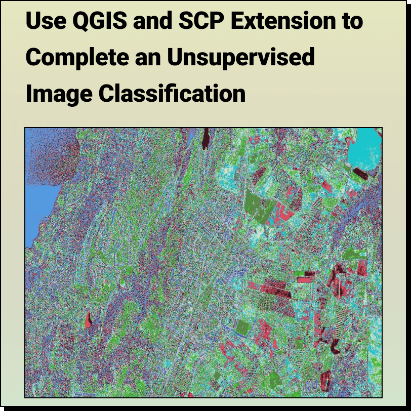
Unsupervised Image Classification with QGIS and SCP Extension
Lindsay2024-04-24T13:44:59-04:00How to Complete an: Unsupervised Image Classification with QGIS and SCP Extension
How to Complete an: Unsupervised Image Classification with QGIS and SCP Extension
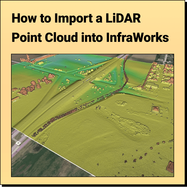
Tutorial: Import Your Point Cloud into InfraWorks Learn how to bring your LiDAR
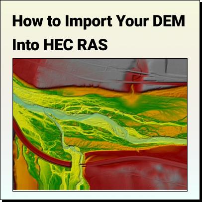
Tutorial: How to Import Your DEM Into HEC RAS Learn how to set
The Top Free LiDAR (LAZ) Data Sources How To Find The Best
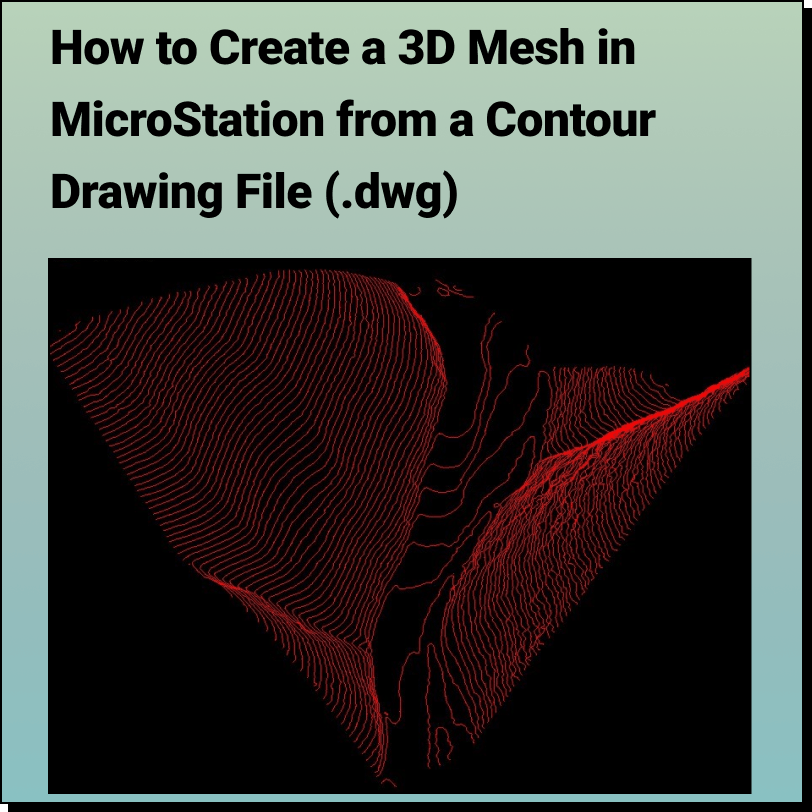
Tutorial: Creating a 3D Mesh from a Contour Drawing in Bentley MicroStation In
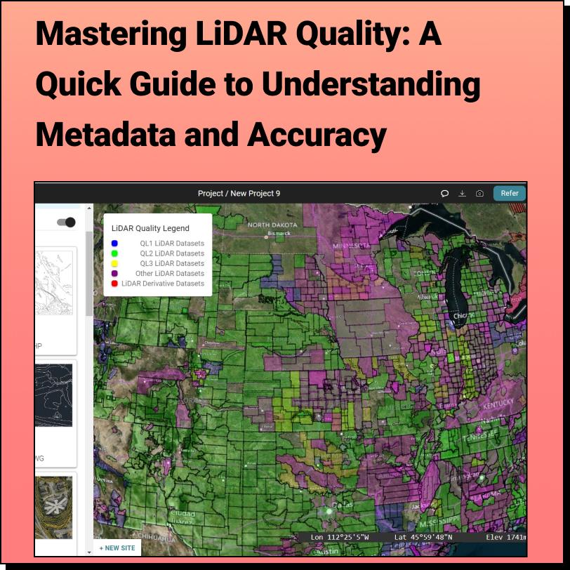
Discover the HIDDEN Accuracy of Your LiDAR Data Mastering LiDAR Quality: A Quick
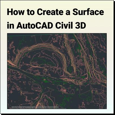
Tutorial: Create a Surface in Civil 3D Use Equator to source a Contour
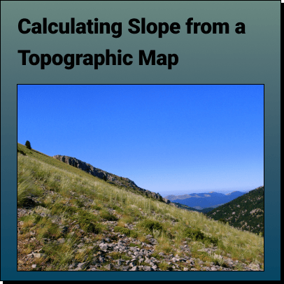
How to Calculate the Slope on a Topographic Map using Contour Lines Use
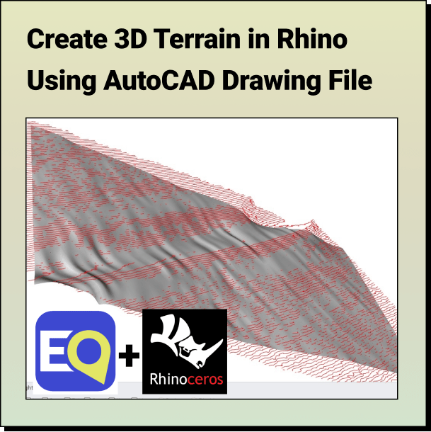
Tutorial: Create a 3D Terrain in Rhino From Contours Learn how to
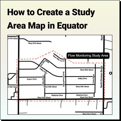
Tutorial: How to Create a Study Area Map Learn how to create a